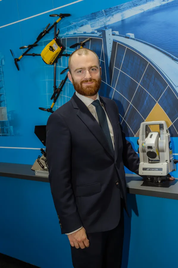
Topcon GPT-3500LN designed to measure long distances

Topcon Positioning Group’s latest reflectorless total station is built to go farther than ever before. “Measuring the long distance is the key new feature,” said Jan Balkema, account manager with Topcon. The GPT-3500LN is a reflectorless total station for the construction and mining market. With a measuring distance of 2000m, the GPT-3500 is designed to measure farther than any non-prism instrument in its class, Topcon said. “Incorporating the Topcon advanced time-of-flight pulse technology, the EDM is f
April 23, 2015 Read time: 2 mins
342 Topcon Positioning Group’s latest reflectorless total station is built to go farther than ever before.

“Measuring the long distance is the key new feature,” said Jan Balkema, account manager with Topcon.

The GPT-3500LN is a reflectorless total station for the construction and mining market. With a measuring distance of 2000m, the GPT-3500 is designed to measure farther than any non-prism instrument in its class, Topcon said.

“Incorporating the Topcon advanced time-of-flight pulse technology, the EDM is fast and powerful,” said Ray Kerwin, director of global surveying products.  “The Topcon algorithm filters signal noise to provide accurate measurements even on dark and wet surfaces, where other reflectorless technology might fail.”

Along with its onboard data collection software, the GPT-3500LN can connect to an external field controller, enabling field-to-office connectivity with the MAGNET suite of software solutions. The system also can be paired with a prism to allow for a measurement range of up to 3000m.

Additional features include an IP66 rated design, on-board TopField application software, and battery life of up to eight working hours.

For more information on companies in this article

Related Content

  • LiDAR surveying is making inroads into asset management
    December 18, 2017
    In the coming age of the autonomous vehicle, fast and accurate LiDAR surveying will be increasingly important, explains Valdis Vanags. The game-changing introduction of autonomous vehicles relies not only on intelligent traffic systems but well maintained roads to help computer-guided systems navigate using road markings. Laser scanning technology, too, is a game changer when it comes to planning and executing many civil engineering projects, including transport network upgrades and smart city initiatives.
  • Market for GPS machine control systems growing fast
    February 14, 2012
    The sector for machine guidance systems is growing fast as contractors become more and more aware of the benefits of using this technology. Increased speed, working accuracy and cost effectiveness are key benefits of this technology, with just three firms, Trimble, Topcon and the Hexagon Group, dominating the market. The Hexagon Group is perhaps the newest entrant to the sector, having acquired Leica Geosystems and Scanlaser in recent years. John Fraser is sales and marketing manager at Scanlaser, and expla
  • Topcon’s sophisticated drone offering
    April 26, 2018
    The sophisticated drone models offered by Topcon Positioning have been made available through the firm’s partnership with Intel. These highly-advanced units are available in fixed wing or rotary versions, with features including triple redundancy to ensure reliability and prevent failures. The units feature high resolution cameras, which offer accurate and comprehensive datasets for photogrammetry work. Chris Emery, Topcon’s business manager monitoring solutions, Europe said: “You get swathes of data for
  • Road construction software innovations
    February 13, 2012
    A range of key software innovations are now available for road construction applications from various suppliers - Adrian Greeman writes. Two significant and highly economic alternatives are now available to the major CAD providers both from Belgium and both offering interesting features. First is Pythagoras, which describes itself as a modern CAD program specially designed for topographical applications which include land surveying, road design and city planning.