Topcon GPT-3500LN designed to measure long distances

Topcon Positioning Group’s latest reflectorless total station is built to go farther than ever before. “Measuring the long distance is the key new feature,” said Jan Balkema, account manager with Topcon. The GPT-3500LN is a reflectorless total station for the construction and mining market. With a measuring distance of 2000m, the GPT-3500 is designed to measure farther than any non-prism instrument in its class, Topcon said. “Incorporating the Topcon advanced time-of-flight pulse technology, the EDM is f
April 23, 2015 Read time: 2 mins
342 Topcon Positioning Group’s latest reflectorless total station is built to go farther than ever before.

“Measuring the long distance is the key new feature,” said Jan Balkema, account manager with Topcon.

The GPT-3500LN is a reflectorless total station for the construction and mining market. With a measuring distance of 2000m, the GPT-3500 is designed to measure farther than any non-prism instrument in its class, Topcon said.

“Incorporating the Topcon advanced time-of-flight pulse technology, the EDM is fast and powerful,” said Ray Kerwin, director of global surveying products.  “The Topcon algorithm filters signal noise to provide accurate measurements even on dark and wet surfaces, where other reflectorless technology might fail.”

Along with its onboard data collection software, the GPT-3500LN can connect to an external field controller, enabling field-to-office connectivity with the MAGNET suite of software solutions. The system also can be paired with a prism to allow for a measurement range of up to 3000m.

Additional features include an IP66 rated design, on-board TopField application software, and battery life of up to eight working hours.

For more information on companies in this article

Related Content

  • Improved laser scanning capabilities
    February 23, 2012
    Leica Geosystems is broadening its software offering with its new Leica Cyclone v7.2 package, which is said to improve office processing capabilities. The package has been developed to address key market needs and trends in the processing and use of rich, as-built point cloud data from high definition laser scanning technology. According to the firm the package can help reduce laser scanning project costs, including office time, allowing projects to use more scans and higher scan densities.
  • GRAA winner profile: urban cooling and active transportation in Los Angeles
    July 19, 2022
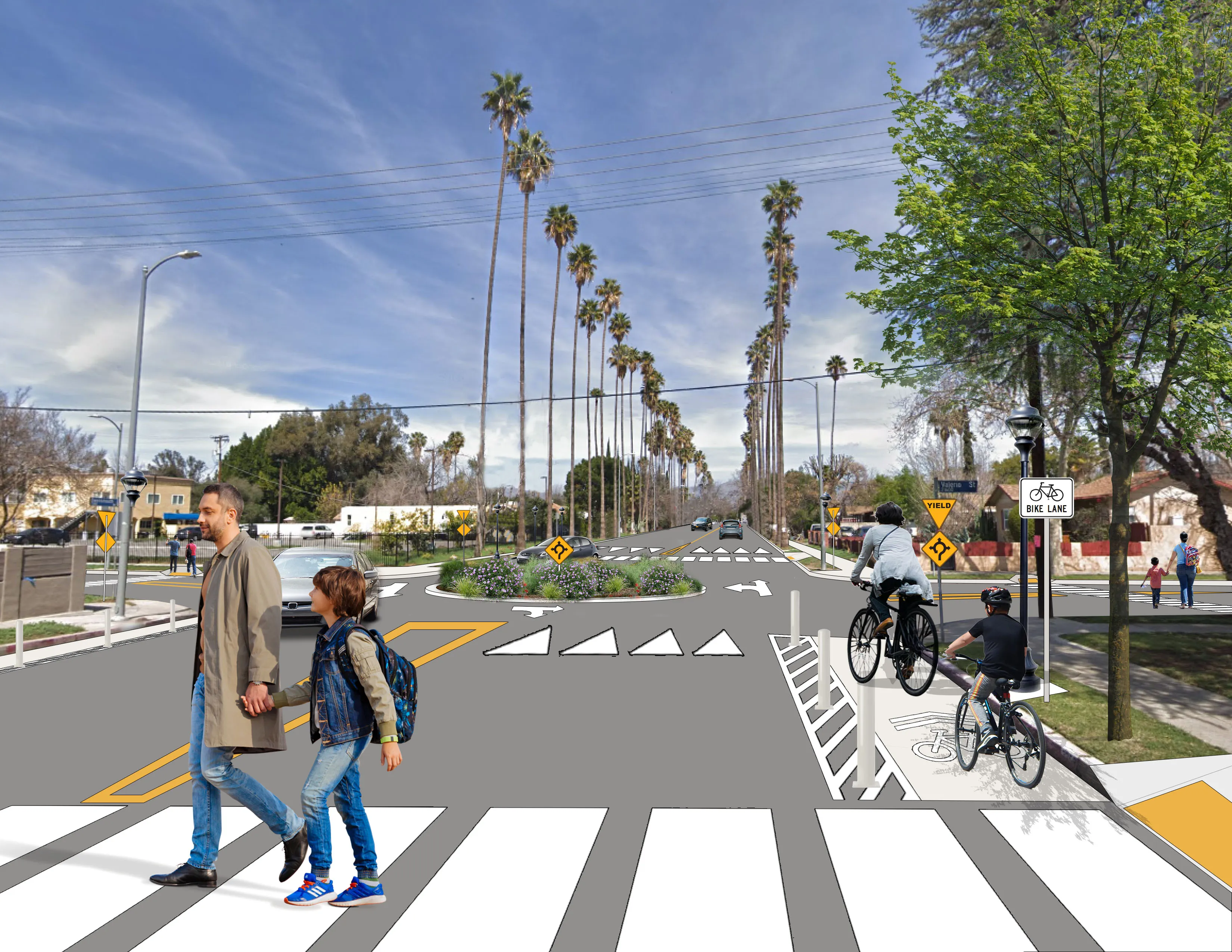
    The Urban Cooling + First/Last Mile Strategies in Los Angeles-Canoga Park Project explores resilient streetscape solutions that mitigate two critical planning issues impacting LA: extreme heat (“Urban Cooling”) and limited safe active transportation access (“First/Last Mile”).
  • Safety barriers deliver valuable road user protection
    February 14, 2012
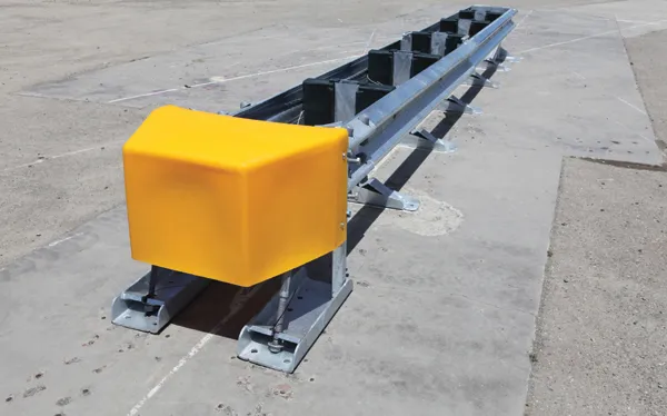
    Safety barriers provide an invaluable service for all road users, Mike Woof reports The safety barrier market is a key one for the highway sector, with systems providing valuable protection for all categories of road users. The importance of passive protective devices such as safety barriers can often be overlooked by the road user but is well-understood by highway designers. Redirecting an errant vehicle back into the roadway and preventing it from crossing into traffic flowing in the other direction or fr
  • Monitoring software update from Trimble
    November 15, 2019
    Trimble is offering an updated version of its real-time monitoring software, the 4D Control package. This Version 5.0 upgrade offers new features that allow users to streamline real-time structural monitoring system deployment as well as simplify the connection to geotechnical sensors. Trimble 4D Control software allows project stakeholders to monitor critical infrastructure such as dams and bridges along with buildings surrounding construction sites and tunnels.