Topcon and Bentley join forces to model reality

Topcon Positioning and Bentley Systems are introducing the product of their joint development project at CONEXPO-CON/AGG 2017, a reality modelling software solution.
March 8, 2017 Read time: 2 mins
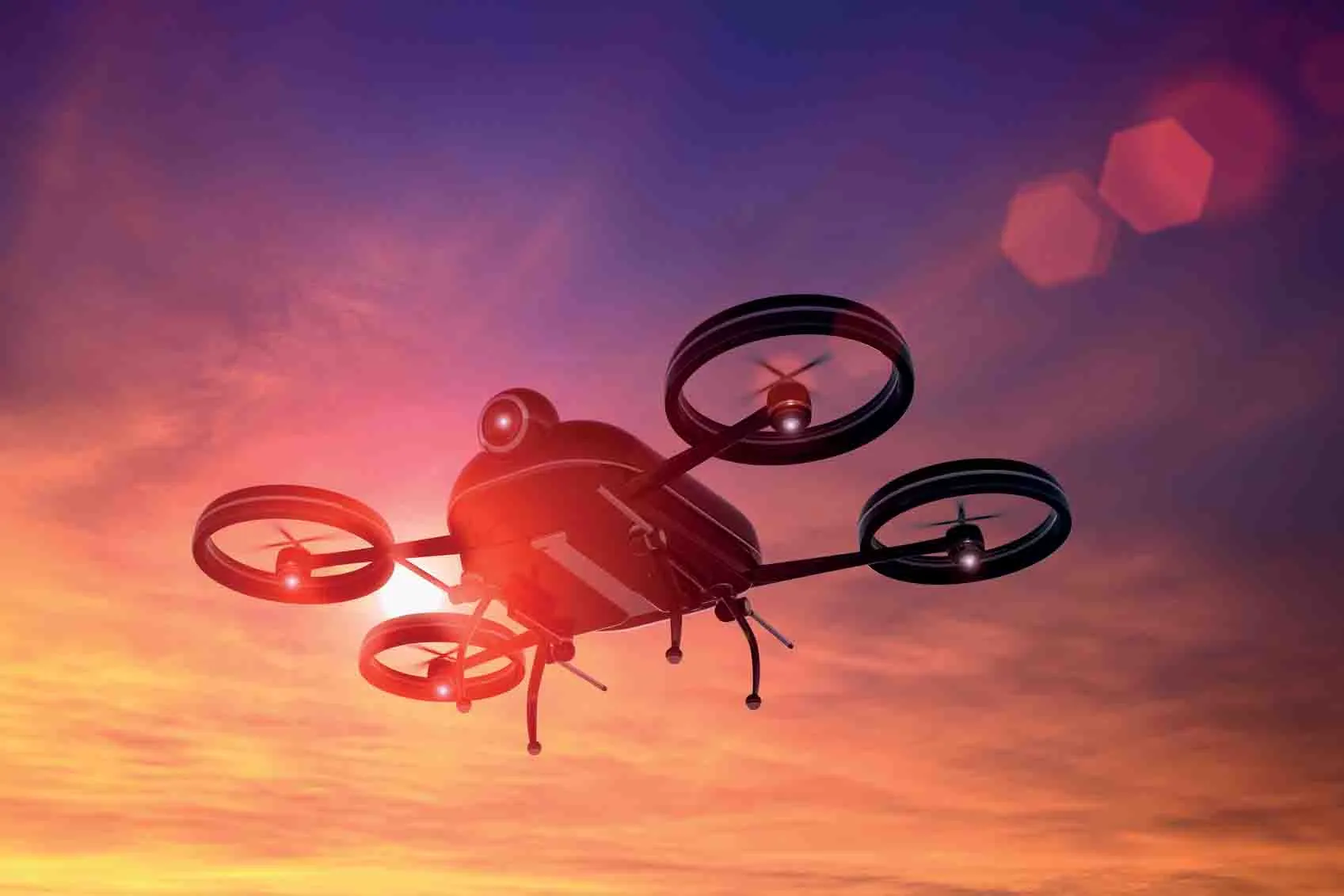
Topcon and Bentley have jointly developed a modelling system for use with drones

342 Topcon Positioning and 4019 Bentley Systems are introducing the product of their joint development project at CONEXPO-CON/AGG 2017, a reality modelling software solution. The Topcon ContextCapture package is powered by Bentley Systems and will be offered with Topcon unmanned aerial systems (UAS). The system has been designed for use in mapping, construction and surveying.

It allows users to quickly turn simple photographs or point cloud data into true-to-life, highly detailed 3D models for use throughout a project lifecycle.

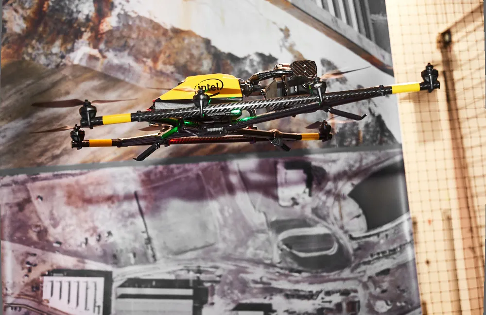
The package includes Topcon ContextCapture Standard and Topcon ContextCapture Advanced products. Charles Rihner, vice president of the Topcon GeoPositioning Solutions Group said, “The standard package will be bundled with Falcon 8 and Sirius Basic/Pro and allows operators to process data from these UAS into textured 3D reality meshes, point clouds and orthophotos. ContextCapture Advanced allows users to process data from any UAS. It also includes ContextCapture Editor, which enables operators to take advantage of all project data by integrating reality meshes and point clouds, into infrastructure workflows. The result is access to a wide variety of reality modelling tools to help increase productivity.”

The ContextCapture Advanced integration includes CAD, inspection, GIS, civil engineering, and survey workflows on desktop and mobile devices, in multiple formats. This technology allows users to start from a reality-captured survey context and update digital engineering models throughout the construction process, finally delivering the as-built infrastructure in real time.

For more information on companies in this article

Related Content

  • Field use solutions from mixed-reality
    May 22, 2018
    Trimble is now offering its Connect for HoloLens tool as well as a new hard hat solution for Microsoft HoloLens. According to the firm, the new package improves the utility of mixed-reality for practical field applications. “With the rise in acceptance for mixed-reality solutions in business today, the need for 3D visualisation outside the office is driving this next wave of Trimble innovation," said Aviad Almagor, director of Trimble's Mixed-Reality Program. “We are expanding the opportunities for implemen
  • Lima's massive $2 billion airport project
    March 4, 2025
    Peru’s capital, Lima, is to benefit from a massive new international airport, which will be one of the largest in Latin America – Mike Woof writes
  • CONEXPO-CON/AGG 2017 will help you imagine what’s next
    March 15, 2017
    What sort of key trends will be on show, and how will these new technologies shape the sector over the coming years? Alan Dron interviewed Al Cervero, the AEM senior vice-president for construction, utility and mining on how the show will reveal what is coming. The theme for this year’s event is “Imagine what’s next”, a particularly appropriate title in view of the changes in both technology and the environment in which that technology will be used.
  • Key developments are changing the face of the machine control market
    April 4, 2013
    Various business moves are changing the face of the machine control sector - Mike Woof reports An array of developments, both business moves and new technologies, are changing the focus for the machine control segment of the construction equipment sector. For a long time three firms, Leica Geosystems, Trimble and Topcon, have dominated this segment. The three are retaining their strong positions in the market but are seeing additional competition from Hemisphere and MOBA. Arguably the biggest news is that T