Topcon and Bentley join forces to model reality

Topcon Positioning and Bentley Systems are introducing the product of their joint development project at CONEXPO-CON/AGG 2017, a reality modelling software solution.
March 8, 2017 Read time: 2 mins
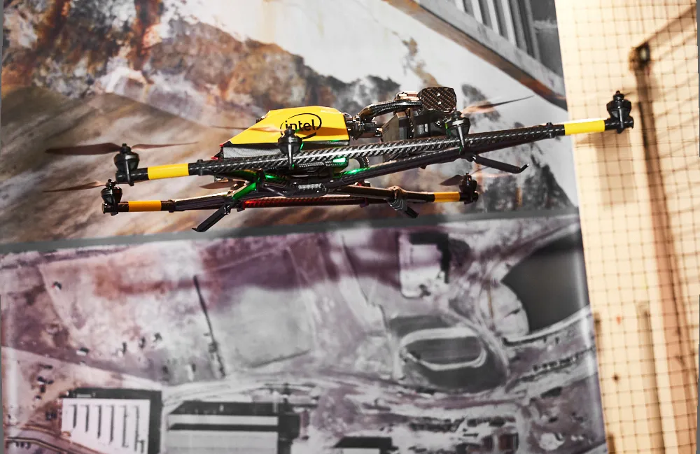
Topcon and Bentley have jointly developed a modelling system for use with drones

342 Topcon Positioning and 4019 Bentley Systems are introducing the product of their joint development project at CONEXPO-CON/AGG 2017, a reality modelling software solution. The Topcon ContextCapture package is powered by Bentley Systems and will be offered with Topcon unmanned aerial systems (UAS). The system has been designed for use in mapping, construction and surveying.

It allows users to quickly turn simple photographs or point cloud data into true-to-life, highly detailed 3D models for use throughout a project lifecycle.

The package includes Topcon ContextCapture Standard and Topcon ContextCapture Advanced products. Charles Rihner, vice president of the Topcon GeoPositioning Solutions Group said, “The standard package will be bundled with Falcon 8 and Sirius Basic/Pro and allows operators to process data from these UAS into textured 3D reality meshes, point clouds and orthophotos. ContextCapture Advanced allows users to process data from any UAS. It also includes ContextCapture Editor, which enables operators to take advantage of all project data by integrating reality meshes and point clouds, into infrastructure workflows. The result is access to a wide variety of reality modelling tools to help increase productivity.”

The ContextCapture Advanced integration includes CAD, inspection, GIS, civil engineering, and survey workflows on desktop and mobile devices, in multiple formats. This technology allows users to start from a reality-captured survey context and update digital engineering models throughout the construction process, finally delivering the as-built infrastructure in real time.

For more information on companies in this article

Related Content

  • Innovative utilities approach
    March 20, 2012
    An innovative approach to the management of utilities works is the result of a partnership that has produced the Intelligent Trench. This novel underground mapping solution is also being combined with PelicanCorp's beforeUdig service to deliver a comprehensive and accurate national record-sharing service for underground assets in the UK. The new no-charge service allows local authorities and contractors to use the Intelligent Trench portal to access utility plan information directly from the portal's data b
  • Bentley and WSB join forces to create a project-winning digital platform
    March 17, 2023
    A new partnership between Bentley and WSB will help contractors achieve their aims with regard to introducing the use of sophisticated construction software. This new digital construction management solution and advisory service utilises Bentley’s SYNCHRO digital solutions package.
  • InEight puts project software suite in the cloud
    March 13, 2017
    InEight announced that its Project Suite software will now operate in a cloud environment at CONEXPO-CON/AGG. InEight Project Suite will accept models from any design package and includes modules for estimation, contract management, planning, budget control and inspection. It enables all elements of a project – and the people involved – to be connected in an integrated environment.
  • Topcon Europe and Roadware: ‘highly complementary’ products
    July 5, 2012
    Topcon Europe has acquired Roadware in the form of a business and assets deal. Roadware, based in Apeldoorn, The Netherlands,develops smart electronics and software aiming to fully automate and control road construction machines and processes. Topcon designs and manufactures precise positioning products and solutions for the global surveying, construction, agriculture, civil engineering, mapping and GIS, asset management and mobile control markets.To Roadware’s founder Joop Mennink said: "After many years o