Topcon and Bentley join forces to model reality

Topcon Positioning and Bentley Systems are introducing the product of their joint development project at CONEXPO-CON/AGG 2017, a reality modelling software solution.
March 8, 2017 Read time: 2 mins
Topcon and Bentley have jointly developed a modelling system for use with drones

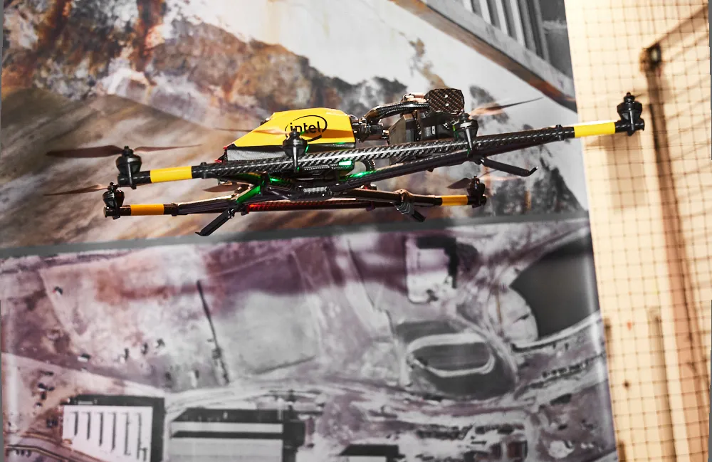
342 Topcon Positioning and 4019 Bentley Systems are introducing the product of their joint development project at CONEXPO-CON/AGG 2017, a reality modelling software solution. The Topcon ContextCapture package is powered by Bentley Systems and will be offered with Topcon unmanned aerial systems (UAS). The system has been designed for use in mapping, construction and surveying.

It allows users to quickly turn simple photographs or point cloud data into true-to-life, highly detailed 3D models for use throughout a project lifecycle.

The package includes Topcon ContextCapture Standard and Topcon ContextCapture Advanced products. Charles Rihner, vice president of the Topcon GeoPositioning Solutions Group said, “The standard package will be bundled with Falcon 8 and Sirius Basic/Pro and allows operators to process data from these UAS into textured 3D reality meshes, point clouds and orthophotos. ContextCapture Advanced allows users to process data from any UAS. It also includes ContextCapture Editor, which enables operators to take advantage of all project data by integrating reality meshes and point clouds, into infrastructure workflows. The result is access to a wide variety of reality modelling tools to help increase productivity.”

The ContextCapture Advanced integration includes CAD, inspection, GIS, civil engineering, and survey workflows on desktop and mobile devices, in multiple formats. This technology allows users to start from a reality-captured survey context and update digital engineering models throughout the construction process, finally delivering the as-built infrastructure in real time.

For more information on companies in this article

Related Content

  • Topcon and DAQRI co-developing new safety technology
    December 2, 2015
    Topcon Positioning is establishing a collaboration with DAQRI to develop wearable safety technology for use on construction sites. The two firms will work together to develop technology that will boost safety for site personnel through the use of augmented reality systems. DAQRI is a leader in enterprise augmented reality and developed the Smart Helmet, an industrial-grade unit that seamlessly connects personnel to work environments by providing information about the surroundings.
  • Italy’s renaissance bridge
    July 21, 2020
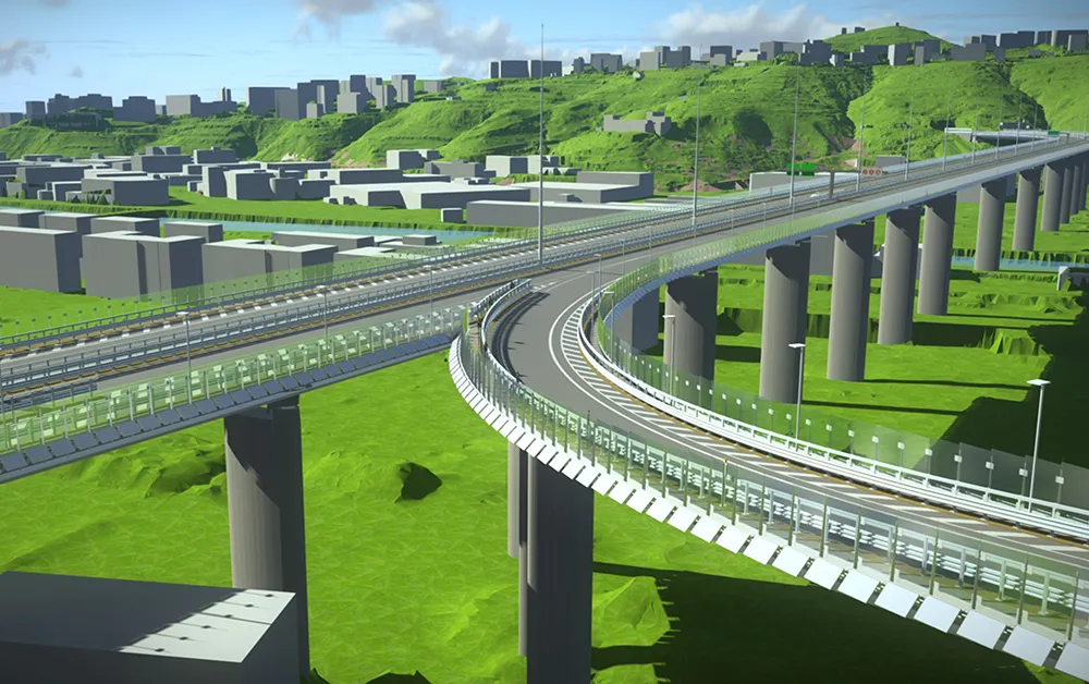
    Italian consulting company Italferr created a digital twin for designing the new Genoa bridge and won accolades at Bentley Systems: Bentley Year in Infrastructure Awards
  • Bentley and Trimble announce modelling cooperation
    January 6, 2015
    In London and Las Vegas, the message was the same. Trimble, a surveying systems and software developer, and Bentley jointly announced they will pool their resources for product development. The announcement by Bentley in London was made at the same time as Trimble who gave details of the collaboration to attendees at its annual conference in Las Vegas, in the US. Trimble, based in Sunnyvale, California, develops positioning technologies, such as GPS, lasers and optics as well as software content specifi
  • Bentley expanding
    March 1, 2012
    Software firm Bentley Systems is buying point cloud specialist Pointools.