Topcon and Bentley join forces to model reality

Topcon Positioning and Bentley Systems are introducing the product of their joint development project at CONEXPO-CON/AGG 2017, a reality modelling software solution.
March 8, 2017 Read time: 2 mins
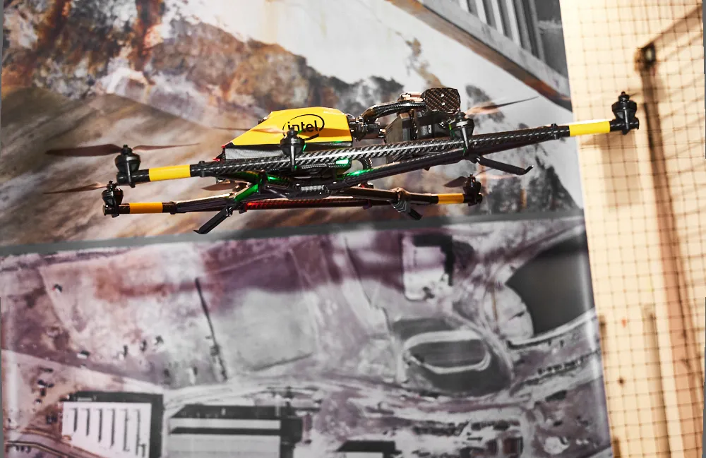
Topcon and Bentley have jointly developed a modelling system for use with drones

342 Topcon Positioning and 4019 Bentley Systems are introducing the product of their joint development project at CONEXPO-CON/AGG 2017, a reality modelling software solution. The Topcon ContextCapture package is powered by Bentley Systems and will be offered with Topcon unmanned aerial systems (UAS). The system has been designed for use in mapping, construction and surveying.

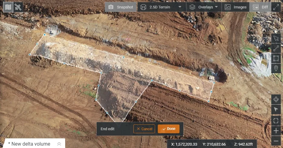
It allows users to quickly turn simple photographs or point cloud data into true-to-life, highly detailed 3D models for use throughout a project lifecycle.

The package includes Topcon ContextCapture Standard and Topcon ContextCapture Advanced products. Charles Rihner, vice president of the Topcon GeoPositioning Solutions Group said, “The standard package will be bundled with Falcon 8 and Sirius Basic/Pro and allows operators to process data from these UAS into textured 3D reality meshes, point clouds and orthophotos. ContextCapture Advanced allows users to process data from any UAS. It also includes ContextCapture Editor, which enables operators to take advantage of all project data by integrating reality meshes and point clouds, into infrastructure workflows. The result is access to a wide variety of reality modelling tools to help increase productivity.”

The ContextCapture Advanced integration includes CAD, inspection, GIS, civil engineering, and survey workflows on desktop and mobile devices, in multiple formats. This technology allows users to start from a reality-captured survey context and update digital engineering models throughout the construction process, finally delivering the as-built infrastructure in real time.

For more information on companies in this article

Related Content

  • Topcon develops advanced software tool
    January 6, 2017
    Topcon Europe Positioning is offering upgrades to its MAGNET software products, which have benefited from the firm’s recent tie-up with Autodesk. The MAGNET Enterprise package is a cloud service that connects the firm’s Field and Office products and provides a web-based interface to company data and new versions of MAGNET Field and MAGNET Office are available.
  • Topcon develops advanced software tool
    February 8, 2013
    Topcon Europe Positioning is offering upgrades to its MAGNET software products, which have benefited from the firm’s recent tie-up with Autodesk. The MAGNET Enterprise package is a cloud service that connects the firm’s Field and Office products and provides a web-based interface to company data and new versions of MAGNET Field and MAGNET Office are available.
  • Drone system from HCSS
    October 22, 2021
    HCSS says it is offering powerful new features for its HCSS Aerial package, a drone-based data analytics platform. This includes improvements with calculations and measurements, annotation and designs, and navigation. New features are said to optimise tablet performance and improve user experience with the mobile device.
  • GPS technology developments
    June 13, 2012
    The use of GPS-inclusive technology is proving invaluable to contractors responsible for major transport-related construction projects across the globe. Guy Woodford looked at some of the latest and imminent site solutions featuring GPS Staff at Trimble Heavy Construction based in Sunnyvale, California recently finished developing three new solutions for connecting the construction site. The Trimble Connected Office, the Trimble Connected Controller and the Trimble Connected Machine, are all now available t