Topcon and Bentley join forces to model reality

Topcon Positioning and Bentley Systems are introducing the product of their joint development project at CONEXPO-CON/AGG 2017, a reality modelling software solution.
March 8, 2017 Read time: 2 mins
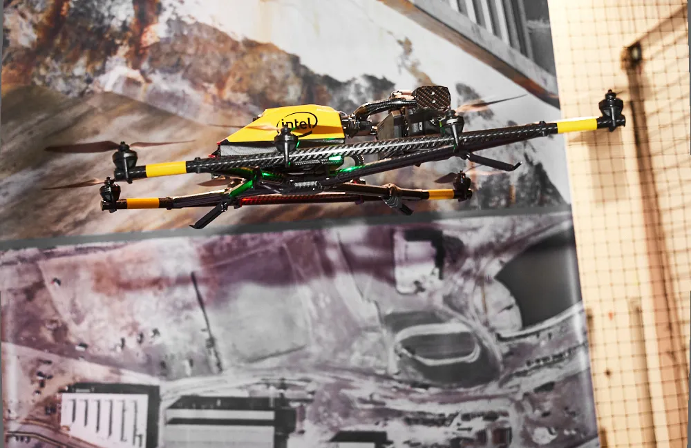
Topcon and Bentley have jointly developed a modelling system for use with drones

342 Topcon Positioning and 4019 Bentley Systems are introducing the product of their joint development project at CONEXPO-CON/AGG 2017, a reality modelling software solution. The Topcon ContextCapture package is powered by Bentley Systems and will be offered with Topcon unmanned aerial systems (UAS). The system has been designed for use in mapping, construction and surveying.

It allows users to quickly turn simple photographs or point cloud data into true-to-life, highly detailed 3D models for use throughout a project lifecycle.

The package includes Topcon ContextCapture Standard and Topcon ContextCapture Advanced products. Charles Rihner, vice president of the Topcon GeoPositioning Solutions Group said, “The standard package will be bundled with Falcon 8 and Sirius Basic/Pro and allows operators to process data from these UAS into textured 3D reality meshes, point clouds and orthophotos. ContextCapture Advanced allows users to process data from any UAS. It also includes ContextCapture Editor, which enables operators to take advantage of all project data by integrating reality meshes and point clouds, into infrastructure workflows. The result is access to a wide variety of reality modelling tools to help increase productivity.”

The ContextCapture Advanced integration includes CAD, inspection, GIS, civil engineering, and survey workflows on desktop and mobile devices, in multiple formats. This technology allows users to start from a reality-captured survey context and update digital engineering models throughout the construction process, finally delivering the as-built infrastructure in real time.

For more information on companies in this article

Related Content

  • Reality check: Topcon’s Aptix
    July 20, 2023
    The biggest challenge facing construction professionals and general contractors is disconnected data and/or siloed data sources. The recently launched Aptix integration platform has broken down these silos, explains Topcon’s Scott Langbein.
  • Leica Cyclone teams up with NCTech’s iSTAR camera database
    January 19, 2016
    Users of Leica Cyclone, a 3D point cloud processing software, can now automatically import and align high-dynamic range (HDR) data from NCTech’s iSTAR camera database. The result is enhanced images delivered faster and easier, according to both companies. “It is also the accuracy to which these images fit the 3D point cloud data that is paramount. NCTech’s iSTAR camera produces high-quality HDR imaging at the accuracy everyone expects,” said Faheem Khan, vice president, business development for Leica Geosys
  • New Bocimi Toll Road Aims to Reduce Travel Time and Boost Indonesia’s Economy
    April 20, 2023
    The Bogor-Ciawi-Sukabumi (Bocimi) toll road is a series of national strategic projects to help reduce traffic congestion along the existing factory-lined roadway, as well as enhance regional connectivity and tourism in West Java. Spanning 54 kilometers, the new highway corridor is expected to shorten travel time between the Bogor and Sukabumi provinces from two hours to 30 minutes and boost economic conditions in the surrounding Sukabumi area. Construction is divided into four phases, the first of which measures 15.35 kilometers and is already complete. PT Waskita Karya (Waskita) is the main contractor for the IDR 2.1 trillion second section, spanning 11.9 kilometers between Cigombong and Cibadak, and set for completion in 2023 after being delayed due to the pandemic.
  • Sophisticated machine control solution from Topcon
    June 1, 2022
    Topcon Positioning says that its new MC-Max machine control solution is a scalable solution for use with mixed-fleets of heavy equipment.