Surveying software

A new CAD-based package is available for surveying and job site information editing and plotting from Topcon Europe Positioning. Called SurveyMaster Lite, this software is a cost-efficient surveying office package suited to cadastral surveying and construction stakeout duties. The product has been developed from Topcon's SurveyMaster software program, SurveyMaster Lite and features survey specific
February 6, 2012 Read time: 1 min
A new CAD-based package is available for surveying and job site information editing and plotting from 342 Topcon Europe Positioning. Called SurveyMaster Lite, this software is a cost-efficient surveying office package suited to cadastral surveying and construction stakeout duties. The product has been developed from Topcon's SurveyMaster software program, SurveyMaster Lite and features survey specific functions as well as surface modelling and contouring tools. According to Topcon this new package offers tools required to produce survey calculations for property surveys, topographic maps and ALTA surveys. The package is designed so users can manage data from raw format all the way through to a finished plot. Survey calculations can be completed and uploaded to the field collector for stakeout and field verification. Its features include a field-to-finish solution with automatic line connectivity, synchronisation with TopSURV & Pocket 3D, uncomplicated plotting, an interactive raw data editor, customisable data entry/editors, traverse adjustments and contouring and surface file editing.

For more information on companies in this article

Related Content

  • Yotta develops new tools for sophisticated GIS package
    April 25, 2013
    Highway technology and services company Yotta DCL has announced new features for Horizons. The web-based platform integrates GIS, pavement and asset management for highways authorities and agencies to use in a visualised asset management system. The new version 2.3 adds features and functionality across three modules: Explorer, Analysis and Management. Explorer allows users to view, load and visualise a range of datasets, including base network data, their condition in fine detail, plus relevant asset or co
  • Complete control of machines using technology
    December 12, 2019
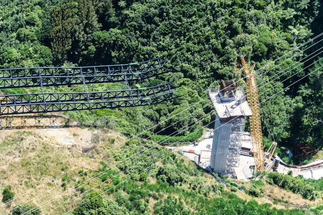
    Sophisticated machine control technology has been utilised on heavy equipment to help deliver a challenging project in New Zealand
  • Accurate asphalt paver control from Trimble 
    October 27, 2022
    Using the new Trimble Roadworks Paving Control Platform version 2.10 is said to boost the accuracy and efficiency of asphalt paving work. The system now benefits from Horizontal Steering Control and is offered on Vögele Navitronic asphalt pavers. The addition of Horizontal Steering Control and automatic screed width control is said to be a major step ahead in operator assistance for users of Vögele pavers.
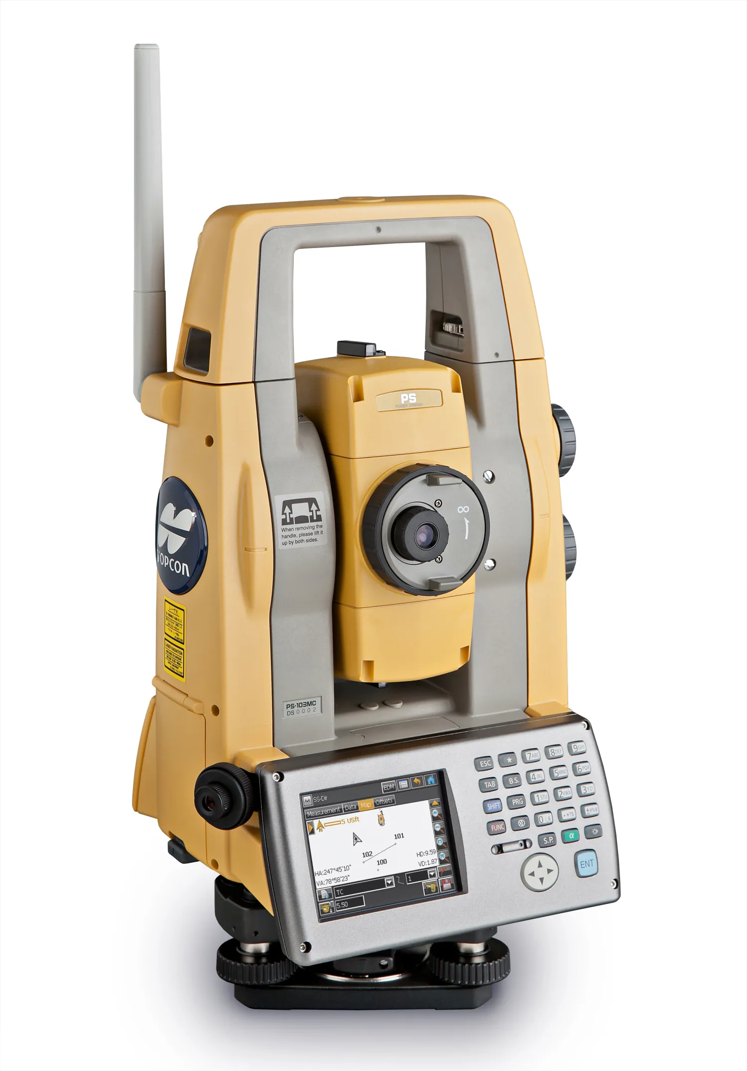
  • Topcon’s PS-AS series to “set a new industry standard” for robotic total stations
    January 6, 2017
    Topcon Europe Positioning’s (TEP) new auto-tracking robotic total station series for the construction market on show at bauma 2013 will “set a new industry standard”, according to Leighton Davies, the company’s survey products sales manager for Europe. With what is said to be its combination of the latest tracking, motorised turning, angle accuracy and software technology, the new PS-AS series instruments are designed for applications such as stakeout and as a key component of a Local Positioning System, us