Surveying accurately

Spectra Precision says that its EPOCH 35 system benefits from the latest GPS and GLONASS technology to provide accurate cadastral, topographic, control and stakeout survey applications. Said to be reliable and cost-effective, the EPOCH 35 GNSS system includes a base, rover, field software, data collector, and radio. The rover features integrated Bluetooth capability, an internal radio modem and battery. For North America, the system operates with the proven TDS Survey Pro field software while for other mark
July 18, 2012 Read time: 1 min
Riegl's sophisticated V-Line range includes interfaces for GPS, networking and mobile operation together with high precision time stamping
2373 Spectra Precision says that its EPOCH 35 system benefits from the latest GPS and GLONASS technology to provide accurate cadastral, topographic, control and stakeout survey applications. Said to be reliable and cost-effective, the EPOCH 35 GNSS system includes a base, rover, field software, data collector, and radio. The rover features integrated Bluetooth capability, an internal radio modem and battery. For North America, the system operates with the proven TDS Survey Pro field software while for other markets, the system runs the Spectra Precision Field Surveyor package. For RTK surveying, the base system can include a choice of radio modems with either a long or short range data link from the base to the rover. In addition, Network RTK is also supported by simply connecting to an external data-capable cellular modem. Back at the office, surveyors can use the Spectra Precision Office Software for post-processing and quality control.

For more information on companies in this article

Related Content

  • Machine Control sector is the place for acquisitions
    January 22, 2014
    The machine control sector has been lively in recent months with a major acquisition, the unveiling of new software innovation and landmark testing of new technology to monitor paving temperature. Guy Woodford reports The state road construction authority in the German state of Saxony-Anhalt (LSBB Saxony-Anhalt) has become the first nationally to test MOBA’s new PAVE-IR Scan temperature measurement system at a works site.
  • Trimble launches Site Positioning System Essentials Kit
    February 20, 2014
    Trimble has introduced a Site Positioning System designed for owner operators, small site contractors or construction companies new to GPS. The Trimble Site Positioning System Essentials Kit gives contractors proven Trimble quality and accuracy in an affordable and easy-to-use solution. The Essentials Kit is comprised of the new Trimble Site Mobile controller, Trimble SCS900 Site Controller Software and Trimble SPS985L GNSS Smart Antenna for a complete GPS positioning solution. Using GPS, a grade checker
  • Precision GNSS surveying
    February 16, 2012
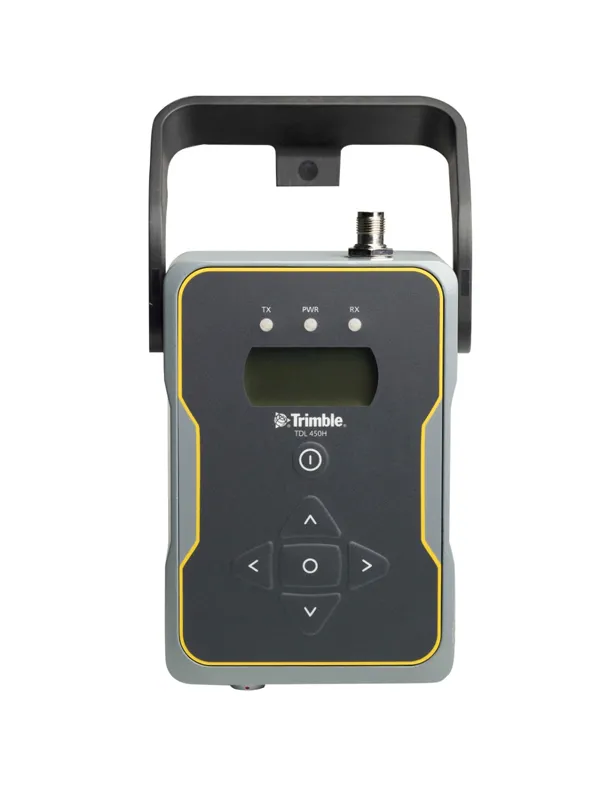
    Trimble is widening its radio line-up with the addition of the TDL450H for surveyors. This unit offers long-range capabilities for productive surveys and is designed to support high-precision GNSS surveying applications. The Trimble TDL450H is a 2-35W radio transceiver and enables work in difficult terrain and urban areas. The multi-function user interface streamlines field configuration and troubleshooting so surveyors can maintain productivity.
  • Advanced surveying
    February 9, 2012
    Personnel using Spectra Precision FOCUS solutions can now benefit from a more robust set of tools. This field software provides a wide array of tools to cope with an array of survey and construction projects. One key new feature is the LandXML Road support for laying out engineering and road profile elements, as this can improve dataflow and efficiency on site. In addition, external data streaming for the output of measurement and positional data from Survey Pro in an XML output means that data can be adapt