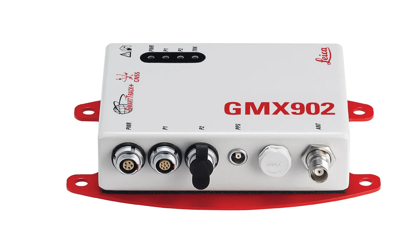
Leica Geosystems says that its new GR10 unit is a sophisticated GNSS reference station receiver and features ease of use, reliability and performance. The GR10 is said to help streamline system installation, day to day operation and administration. The system can be commissioned quickly and features its own receiver hostname while DHCP support means there is no need for pre-configuration of the IP address.
February 9, 2012
Read time: 2 mins

Leica Geosystems says that its new GR10 unit is a sophisticated GNSS reference station receiver and features ease of use, reliability and performance. The GR10 is said to help streamline system installation, day to day operation and administration. The system can be commissioned quickly and features its own receiver hostname while DHCP support means there is no need for pre-configuration of the IP address. The sophisticated web interface speeds configuration, reducing time and training requirements while key status information is available on every page. System monitor tools, system backup and restore, configuration wizards and comprehensive online help, tool tips and multiple language support are said to make the GR10 easy to manage and maintain. Authorised access to the GR10 can provide help from the support team, even if the receiver is behind a firewall. The system is said to be secure and reliable, with multi-level user levels and web interface restrictions together with HTTPs and SSL encryption to prevent unauthorised access to the receiver. The integrated firewall and IP address filtering provide additional layers of security. An integrated watchdog service ensures quality of service and maximises uptime.
Powerful and versatile, the GR10 provides up to 10 parallel RINEX and/or MDB logging sessions with removable internal SD card based storage up to 32Gb. Each logging session can be prioritised and the smart clean-up features ensure that the data storage is optimised. The files can be sent automatically through an FTP site to multiple locations allowing for easy distribution of data to various data centres or other collaborative networks. Additionally the GR10 supports up to 20 simultaneous data streams in a wide range of RTK, DGPS and raw data formats. With support for logging and streaming data rates up to 50Hz the GR10 is a highly versatile receiver perfect for reference station and monitoring applications.
Powerful and versatile, the GR10 provides up to 10 parallel RINEX and/or MDB logging sessions with removable internal SD card based storage up to 32Gb. Each logging session can be prioritised and the smart clean-up features ensure that the data storage is optimised. The files can be sent automatically through an FTP site to multiple locations allowing for easy distribution of data to various data centres or other collaborative networks. Additionally the GR10 supports up to 20 simultaneous data streams in a wide range of RTK, DGPS and raw data formats. With support for logging and streaming data rates up to 50Hz the GR10 is a highly versatile receiver perfect for reference station and monitoring applications.


