Smooth sailing for paving with Topcon’s SmoothRide

Topcon Positioning Group’s new road scanning solution SmoothRide can gather highway asset data at highway speeds with no need for lane closures, crash trucks or escorts. SmoothRide is a vehicle-mounted resurfacing solution for paving and milling projects. It uses a combination of core Topcon technologies designed to deliver the smoothest surface possible, while efficiently managing the quantity of material for each project.
April 14, 2016 Read time: 2 mins
Topcon’s Jörg Velten with the RD-M1 scanning unit

7300 Topcon Positioning Systems’s new road scanning solution SmoothRide can gather highway asset data at highway speeds with no need for lane closures, crash trucks or escorts.

SmoothRide is a vehicle-mounted resurfacing solution for paving and milling projects. It uses a combination of core Topcon technologies designed to deliver the smoothest surface possible, while efficiently managing the quantity of material for each project.

With the new RD-M1 scanning unit, the system maps the existing surface elevations - with many more points captured versus what can be expected with traditional tools. This provides more accurate data needed to confidently estimate materials, as well as to form the basis of the final design surface.

The workflow consists of a vehicle-mounted road scan, existing and finish surface design, and machine control using GNSS with sonic tracker sensor guidance.

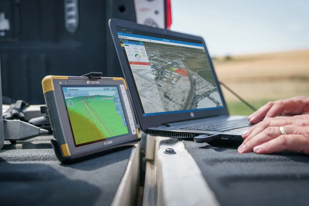
Once the road information is gathered, operators can use Mobile Master Office point data processing software to recreate the existing surface. Magnet Office with Resurfacing is then used to digitally create a high-resolution model of the required finished mat.

The resurfacing module allows operators to create a design using specific regulatory requirements such as minimum thickness, desired cross-slope, and overall smoothness.

The information is then passed onto a paver or milling machine to allow for variable depth paving to where it is required - with the result being a much smoother road as well as faster completion times, explained Jörg Velten, Topcon Construction’s European support manager.

All videosAll show news

Related Content

  • Improved construction software from Topcon
    June 22, 2021
    Topcon Positioning is introducing the latest version of its software package for construction and survey professionals: MAGNET 7.
  • Securing safer transportation infrastructure through non-destructive technology
    June 16, 2014
    Kevin Vine reports on the use of non-destructive testing for structural analysis of bridges Seven years ago, the overpass collapse in Laval, Québec that led to the death of five people brought to light severe issues with the state of the country’s bridges and transportation infrastructure. More recently, a crack in the Champlain Bridge to Montreal that forced over 160,000 commuters to find alternate routes to work reaffirmed a need for greater emphasis on early detection before a crisis occurs.
  • 3D PAVING comes to India and is boosting slipforming efficiency
    December 19, 2016
    Situated on India’s northern frontier, the state of Jammu and Kashmir is world-renowned for its aesthetic vistas and captivating landscapes. The arterial roads connecting the city of Jammu to that of Srinagar is a challenge to maintain, being constantly exposed to harsh weather and overburdened with vehicular movement. Leica Geosystems has been involved in the Chenani-Nashri tunnel project, India’s longest road tunnel and which will be part of an alternate route in the region
  • Accurate utilities detection
    November 26, 2024

    Trimble and Radiodetection are collaborating to improve the technology used in the utility measurement and mapping process. Integrating the Trimble Catalyst DA2 GNSS system and Radiodetection’s RD MapTM+ application and precision locator products helps to streamline utility-locating workflows to provide accurate measurement capabilities and generate underground utilities maps in a single field operation.