
Smooth sailing for paving with Topcon’s SmoothRide

Topcon Positioning Group’s new road scanning solution SmoothRide can gather highway asset data at highway speeds with no need for lane closures, crash trucks or escorts. SmoothRide is a vehicle-mounted resurfacing solution for paving and milling projects. It uses a combination of core Topcon technologies designed to deliver the smoothest surface possible, while efficiently managing the quantity of material for each project.
April 14, 2016 Read time: 2 mins
Topcon’s Jörg Velten with the RD-M1 scanning unit

7300 Topcon Positioning Systems’s new road scanning solution SmoothRide can gather highway asset data at highway speeds with no need for lane closures, crash trucks or escorts.

SmoothRide is a vehicle-mounted resurfacing solution for paving and milling projects. It uses a combination of core Topcon technologies designed to deliver the smoothest surface possible, while efficiently managing the quantity of material for each project.

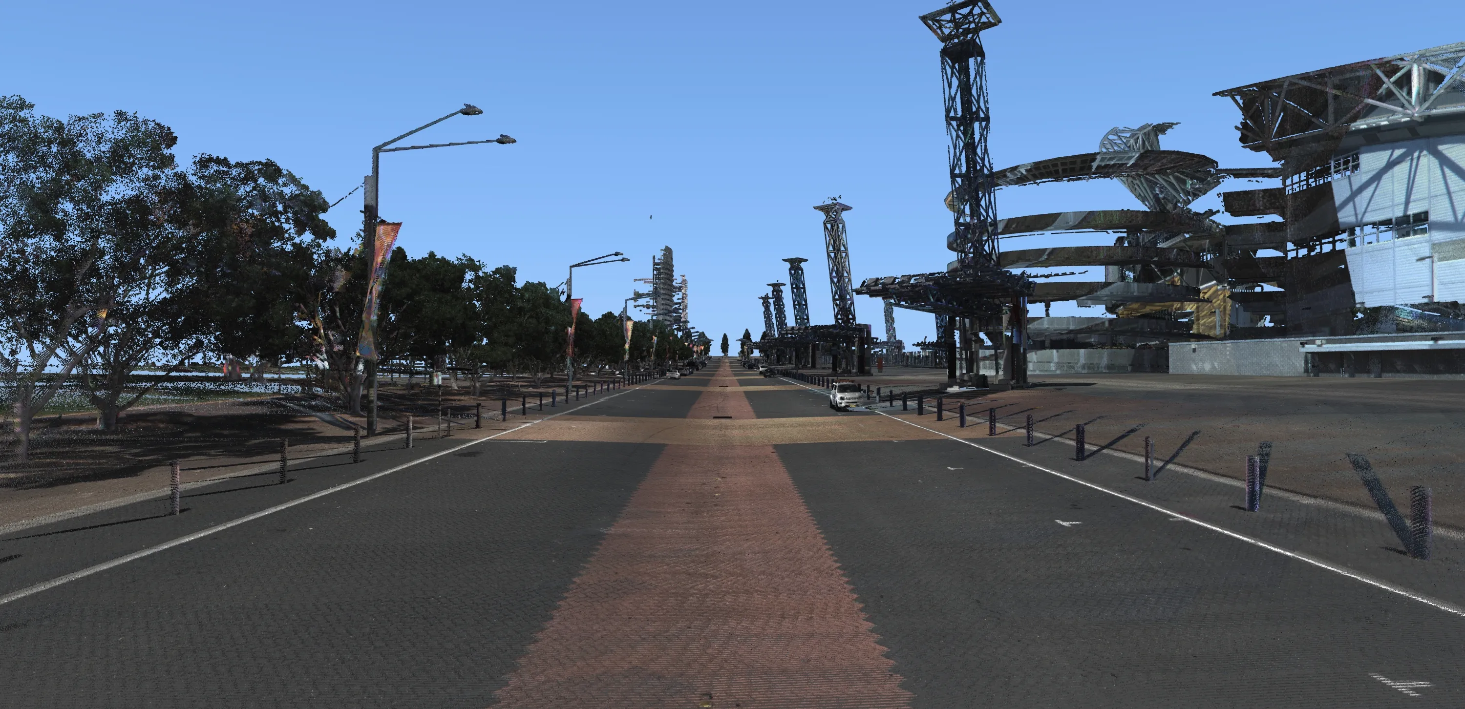
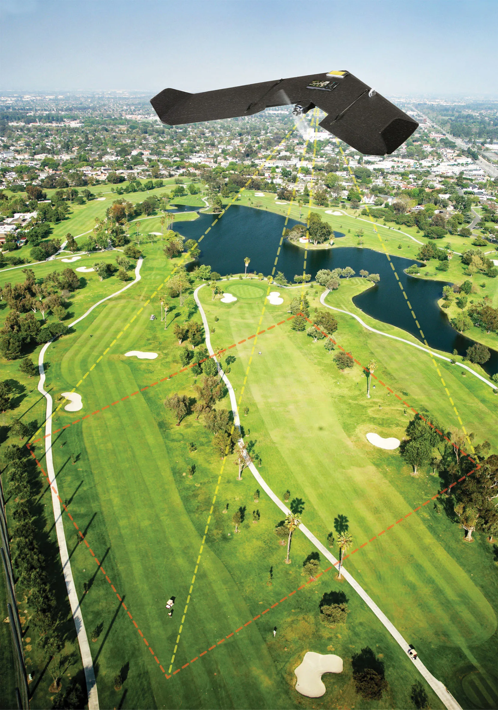
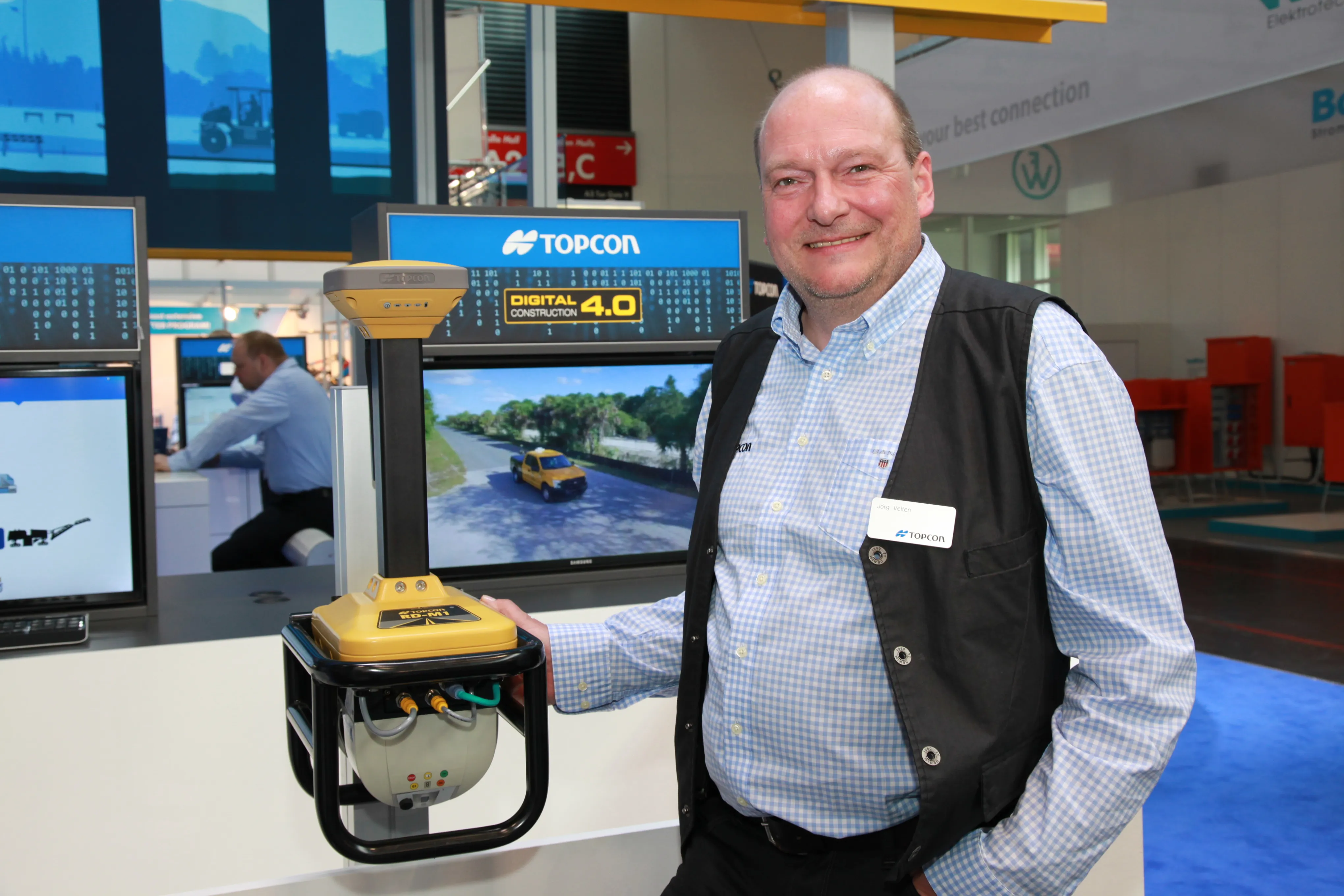
With the new RD-M1 scanning unit, the system maps the existing surface elevations - with many more points captured versus what can be expected with traditional tools. This provides more accurate data needed to confidently estimate materials, as well as to form the basis of the final design surface.

The workflow consists of a vehicle-mounted road scan, existing and finish surface design, and machine control using GNSS with sonic tracker sensor guidance.

Once the road information is gathered, operators can use Mobile Master Office point data processing software to recreate the existing surface. Magnet Office with Resurfacing is then used to digitally create a high-resolution model of the required finished mat.

The resurfacing module allows operators to create a design using specific regulatory requirements such as minimum thickness, desired cross-slope, and overall smoothness.

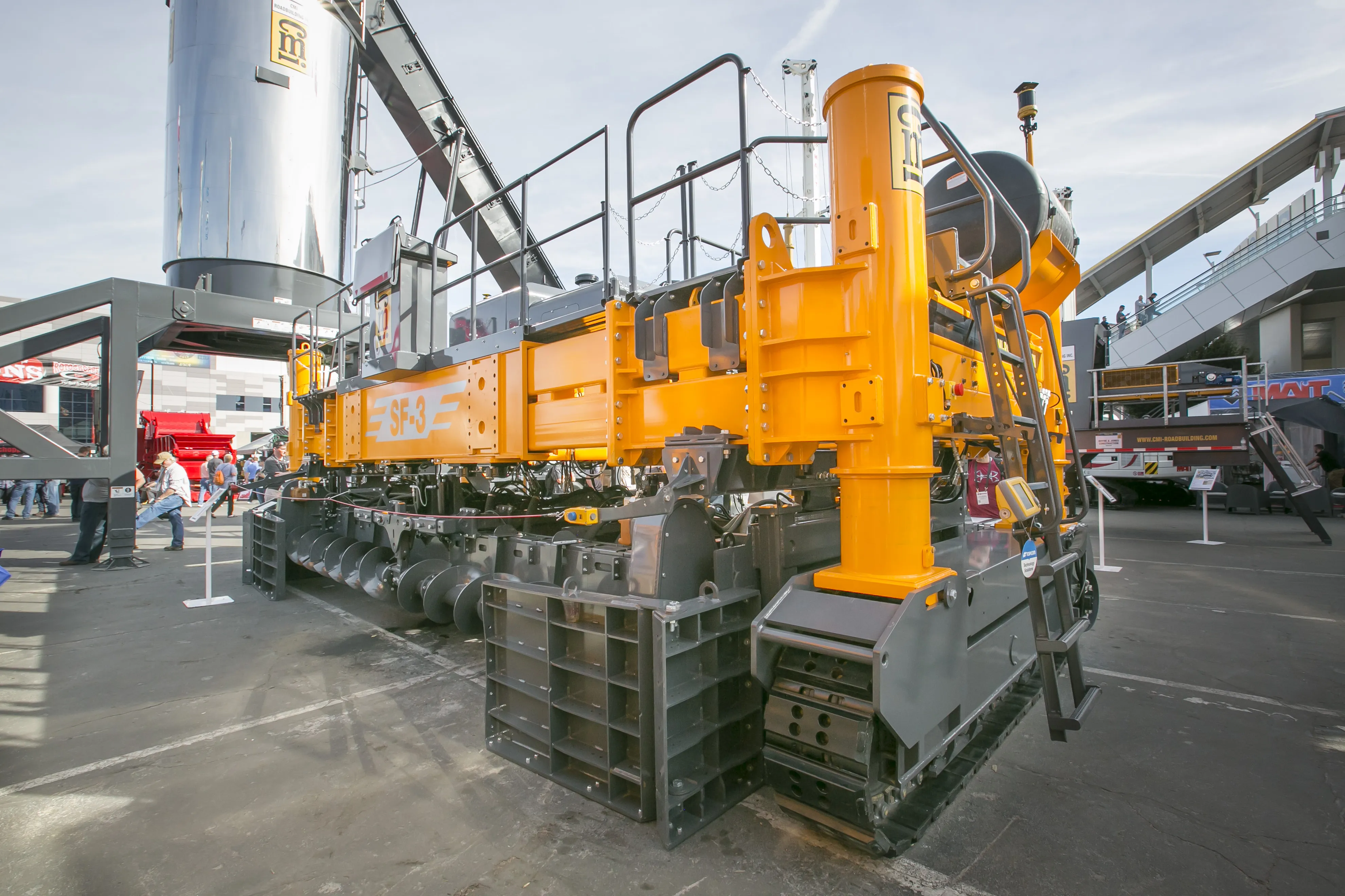
The information is then passed onto a paver or milling machine to allow for variable depth paving to where it is required - with the result being a much smoother road as well as faster completion times, explained Jörg Velten, Topcon Construction’s European support manager.

All videosAll show news

Related Content

  • LiDAR surveying is making inroads into asset management
    December 18, 2017
    In the coming age of the autonomous vehicle, fast and accurate LiDAR surveying will be increasingly important, explains Valdis Vanags. The game-changing introduction of autonomous vehicles relies not only on intelligent traffic systems but well maintained roads to help computer-guided systems navigate using road markings. Laser scanning technology, too, is a game changer when it comes to planning and executing many civil engineering projects, including transport network upgrades and smart city initiatives.
  • IBI’s Routemapper charts new territory with Highways England
    September 14, 2016
    Mapping the asset High-speed data collection just got faster for England’s newly created strategic roads operator Highways England’s establishment as a publicly held company in 2015 created a need for a highly accurate asset inventory. This was potentially very costly and had serious safety implications. As well as its relationships with numerous managing agents and contractors, assets include 35,300km of highway, 12,100km of earthworks, 23,200km of safety fences, 150,000 technology assets and sig
  • Innovations in concrete paving offering improved surfaces
    July 17, 2017
    Major innovations in concrete paving systems will offer customers improved surface finishes - Mike Woof writes US manufacturers continue to dominate the concrete paving sector, with German firm Wirtgen being the only exception. A number of Chinese manufacturers have attempted to enter the concrete paving market with compact machines but have so far had little success in tempting customers away from proven brands. The expertise in for the niche segment of concrete paving remains the preserve of a handful
  • Innovative GIS advances from Bluesky
    July 18, 2012
    Aerial survey specialist Bluesky is funding research into the development and use of a new system to map the UK’s cities and towns at night. Bluesky has teamed up with the University of Leicester to look at solutions using new high sensitivity camera sensor technology. Mounted on survey aircraft, the new system can record the location of street lights, illuminated road signs and other night-time sources of light. This can deliver an accurate resource for asset inventories, light pollution assessment and ene