Safer construction sites with Leica Geosystems

April 5, 2024 Read time: 1 min
Leica Geosystems has developed a safety system for onsite use

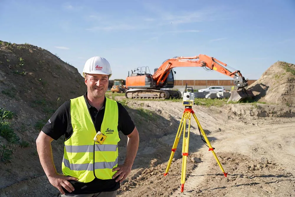
A new package from Leica Geosystems is said to help boost safety for personnel on construction sites. The PA10 system is intended to highlight the location of construction personnel on working sites to machine operators, as well as alerting workers as to where equipment is in use.

“It’s a personal awareness system,” said Thomas Bonvalot of Leica Geosystems. “Everybody onsite will know where a machine is working and the machine operator will know there is a pedestrian.”

For more information on companies in this article

Related Content

  • Milling accurately for construction efficiency
    May 16, 2014
    The two-way flow of machine data is a crucial issue for machine optimisation and new telematics systems are becoming increasingly important in construction Telematics systems can be tapped into by machine control technologies to allow greater integration of the machine as a data provider within an operation. And for certain production machines that feature wear-intensive operation, telematics systems are becoming a vital tool for minimising maintenance costs by scheduling service intervals, maximising u
  • World of Asphalt report from Tennessee
    May 26, 2022
    Major manufacturers are offering a range of new compaction machines and technology to the market. Mike Woof reports from the recent World of Asphalt event in Nashville, Tennessee.
  • Trimble’s advanced Site Vision package being released
    December 11, 2018
    Trimble’s Site Vision package has been offered on limited release to a number of firms in EEP (early engagement program) format, to help develop the system. Scott Crozier is general manager of Trimble’s general construction division. He explained that Trimble is working with a number of selected customers at the leading edge of construction technology, so as to help refine the system for release in due course. These firms are encouraged to use the Site Vision package in parallel with existing systems. De
  • Know what lies below with Leica’s DSX 3D utility detection system
    April 11, 2025

    Emergency road repair work needn’t create yet another emergency by hitting unknow utility pipes and other systems.  

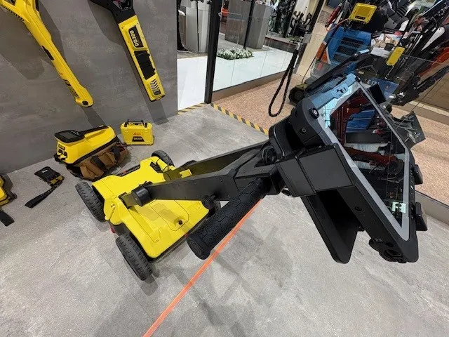
    Leica Geosystems says its DSX utility detection solution can quickly be walked over the area where work is about to start and immediately show an excavator operator any dangers that lie below.

    It locates, visualises and map utilities. Unlike any other ground penetrating radar system, the Leica DSX maximises productivity with cutting-edge software that automates data analysis and creates a 3D utility map of the field.