Remote surveying and scanning

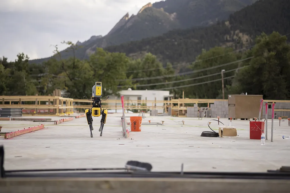
Remote surveying and scanning can be achieved using the autonomous robotic system available from Trimble. The package combines the Spot robot autonomous rover unit with the Trimble X7 3D laser scanner and Trimble FieldLink software.
January 18, 2022 Read time: 2 mins
Autonomous surveying and scanning is possible using the new package from Trimble

This solution has been jointly developed between Trimble and Boston Dynamics and allows autonomous operation on construction sites. The system takes advantage of the robot's ability to navigate challenging, dynamic and potentially unsafe environments. Trimble's 3D data capture technology can deliver a continuous flow of information between the field and the office for documentation of jobsite progress.

The innovative package allows users to make important decisions, rather than waiting for the information to be relayed to project staff. The integration is focused on the automated capture of field construction data through the use of Trimble 3D capture technology and the Spot robot. The autonomous workflow for the X7 laser scanner uses fully integrated Spot robot controls in FieldLink software to create a predefined path of waypoints for Spot to follow and collect laser scans.

Laser scans collected using the X7 scanner and the Spot robot can be tied to a jobsite project coordinate system, as well as individual scan stations. The data is collected, and then made into a composite point cloud in real-time on the Trimble tablet controller before leaving the site. While performing autonomous operations, Spot's docking station enables in-field charging of batteries on both the robot and the X7 3D laser scanner, and also provides the continuous transfer of data through a Gigabit Ethernet connection to the office.

For more information on companies in this article

Related Content

  • New Bocimi Toll Road Aims to Reduce Travel Time and Boost Indonesia’s Economy
    April 20, 2023
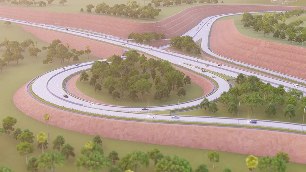
    The Bogor-Ciawi-Sukabumi (Bocimi) toll road is a series of national strategic projects to help reduce traffic congestion along the existing factory-lined roadway, as well as enhance regional connectivity and tourism in West Java. Spanning 54 kilometers, the new highway corridor is expected to shorten travel time between the Bogor and Sukabumi provinces from two hours to 30 minutes and boost economic conditions in the surrounding Sukabumi area. Construction is divided into four phases, the first of which measures 15.35 kilometers and is already complete. PT Waskita Karya (Waskita) is the main contractor for the IDR 2.1 trillion second section, spanning 11.9 kilometers between Cigombong and Cibadak, and set for completion in 2023 after being delayed due to the pandemic.
  • Sharing point cloud data with Topcon
    March 12, 2018
    A new package from Topcon Positioning Group can help with collaboration and sharing for 3D point cloud data. This web-based service is for integration with the MAGNET Collage desktop mass data processing software — MAGNET Collage Web. According to the firm, the MAGNET Collage Web allows users to access data through a web browser that integrates with the MAGNET Collage Office version. The package means that users can publish and share mass data maps in a user-friendly and intuitive 3D web-based environment
  • Italy’s renaissance bridge
    July 21, 2020
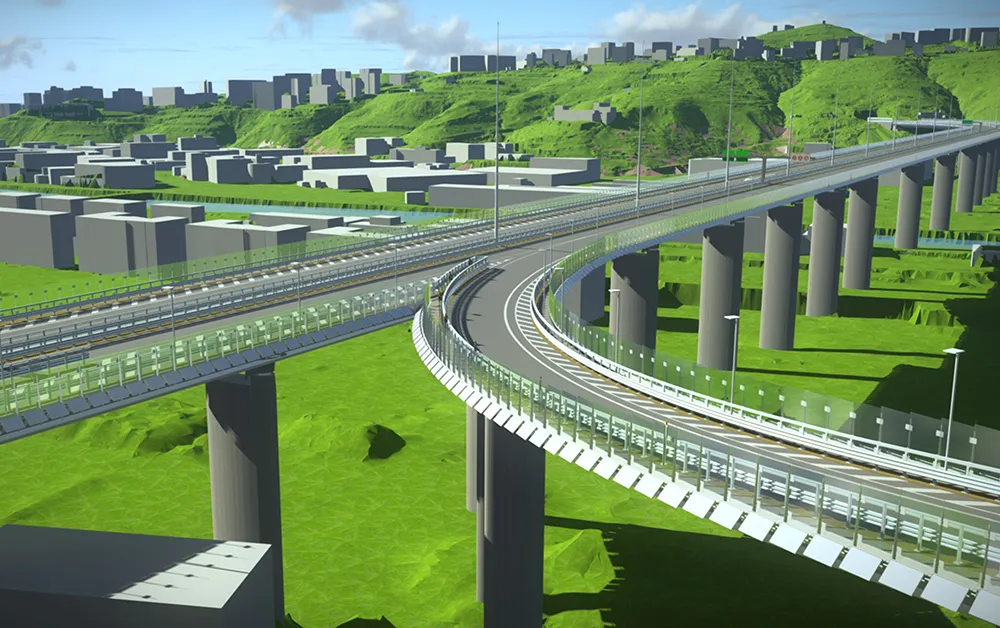
    Italian consulting company Italferr created a digital twin for designing the new Genoa bridge and won accolades at Bentley Systems: Bentley Year in Infrastructure Awards
  • Infrastructure intelligence plays key role in construction
    October 13, 2023
    Infrastructure intelligence is playing a key role in construction.