
New software innovation

Bentley Systems says that its latest iTwin Platform offers additional capabilities for the use of digital twins in design, construction and operations workflows.
July 12, 2023 Read time: 1 min
Bentley Systems claims improved capabilities for its new digital twins technology

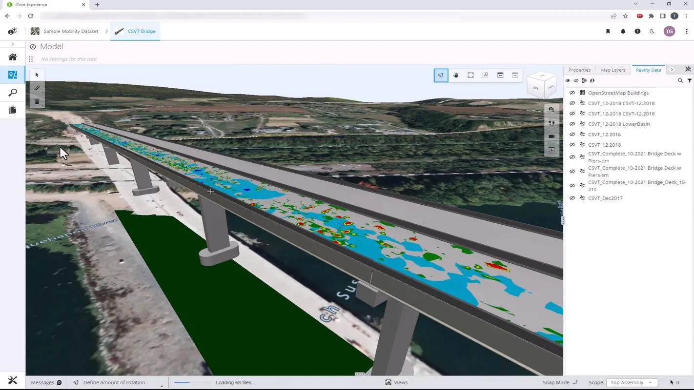
Improvements to the iTwin platform boost the use of infrastructure data. The iTwin technology provides digital integration capabilities for generating and managing digital twins, incorporating proprietary machine learning, analytics and asset performance algorithms. This technology overlays engineering technology (ET), operations technology (OT) and information technology (IT) so that users can visualise, query and analyse infrastructure digital twins.

For more information on companies in this article

Related Content

  • Innovative GIS software offerings
    July 18, 2012
    The latest construction software developments can speed the construction process overall, Adrian Greeman reports Construction software is by its very nature a very fast moving technology, with new systems coming to the market almost continuously. There are some key developments however, such as major new product launches and market trends. One of the most important developments in the road design sector is the launch of the Bentley Systems V8i versions of its software, including its road design applications
  • Yotta develops new tools for sophisticated GIS package
    April 25, 2013
    Highway technology and services company Yotta DCL has announced new features for Horizons. The web-based platform integrates GIS, pavement and asset management for highways authorities and agencies to use in a visualised asset management system. The new version 2.3 adds features and functionality across three modules: Explorer, Analysis and Management. Explorer allows users to view, load and visualise a range of datasets, including base network data, their condition in fine detail, plus relevant asset or co
  • Mobile mapping innovation
    June 1, 2022
    There are millions of kilometres of roads and features that need to be mapped in today’s world. We see a strong vision and application for the future, therefore Leica Geosystems, part of Hexagon, recently announced the introduction of the reality capture mobile mapping system Leica Pegasus TRK, introducing artificial intelligence, autonomous workflows and intuitive interfaces. This technology goes beyond the capabilities of what’s already been done, making it the perfect companion for today’s mobile mapping requirements.
  • Valerann wins AI European Space Agency deal
    April 25, 2025
    Valerann’s traffic monitoring contract is from ESA’s Business Applications and Space Solutions (BASS) programme which supports services that use space technology and data in markets such as transportation.