Map Reading Skills

In Belgium a pensioner planning to drive 61km to a train station to pick up a friend made a somewhat longer journey than expected. The woman followed the advice of her satellite navigation system, which directed her through six countries in all and she ended up in Zagreb in Croatia, 1,440km from her original starting point. Despite seeing road signs in dierent languages, having to stop to refuel on a number of occasions and even parking in a roadside rest-stop for a sleep in her car, the woma
April 23, 2013 Read time: 2 mins
In Belgium a pensioner planning to  drive 61km to a train station to pick  up a friend made a somewhat  longer journey than expected. The  woman followed the advice of her  satellite navigation system, which  directed her through six countries  in all and she ended up in Zagreb  in Croatia, 1,440km from her  original starting point. Despite  seeing road signs in dierent  languages, having to stop to refuel  on a number of occasions and even  parking in a roadside rest-stop for a  sleep in her car, the woman was  not aware she had gone astray. Her  son, worried at her absence, had in  the meantime called police that  she was missing and a search had  commenced in Belgium. When she  realised her mistake on arriving in  Zagreb she was able to contact her  son and the search was called off. She did however have to drive  home another 1,440km. It is not  clear if she has bought a new  satellite navigation device, learned  to program the existing unit or  simply gone back to using a map.

Related Content

  • Turkey’s important new tunnel will improve transport links
    May 18, 2016
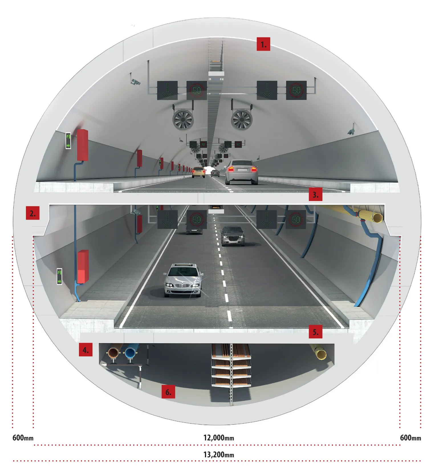
    Major advances in tunnelling will allow cars to travel underneath the Bosphorus sea channel in Turkey's Istanbul next year when its third road link is opened, writes Adrian Greeman. The Bosphorus is redolent with history and strategic significance. As one of the world's most significant sea connections, linking the landlocked Black Sea to the Marmara Sea and the Mediterranean beyond, it has been vitally important for trade and crucial for military access. It is also one of the biggest obstacles for land tra
  • VIDEO: Telstra drone LIDAR maps Melbourne’s EastLink Mullum Tunnel
    April 13, 2018
    One of the applications for LIDAR is to make high resolution 3-D maps. Self-driving cars are pre-loaded with a LIDAR map of the trials area in which they are permitted to fully self-drive themselves. The cars also have their own LIDAR scanner which captures a real-time LIDAR view of the vehicle’s surroundings. The fully autonomous driving system within these prototype cars compares the real-time LIDAR view against the pre-loaded LIDAR map to significantly increase the accuracy of their self-positioning
  • Safety measures aid workzone accident reduction
    February 20, 2012
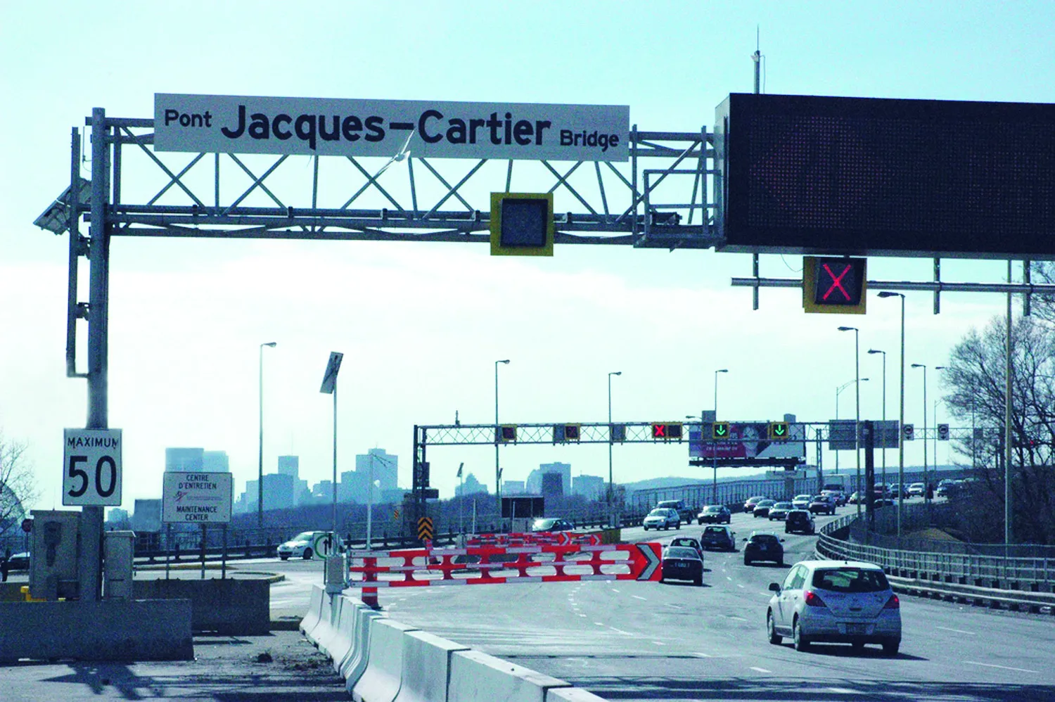
    Everyone connected with the highway industry is involved in the efforts to cut down the number of work zone accidents. Patrick Smith reports. A few months ago, as road work resumed on America's highways and bridges, US Transportation Secretary Ray LaHood called on drivers to use extra caution in work zones. At the same time he commended the success in reducing overall roadway fatalities in each of the last seven years.
  • Speed Cycling
    August 10, 2012
    A South African cyclist suffered a serious crash during a race in his country, due to an antelope’s lack of awareness of road rules. The cyclist was knocked off his bicycle by a Red Hartebeest buck, which charged across the dirt road he was riding along. The cyclist saw the animal spring from the side of the road but there was little he could do to stop. The antelope dazedly stood up following the impact and then bounded away, apparently unhurt. However the cyclist was left sprawled in the grass.