Leica’s growing support network

Leica Geosystems has launched Leica Zeno Office v3.1 and Leica MobileMatriX v5.1 software updates for the Zeno GIS series. Leica Zeno Office v3.1 and MobileMatriX v5.1 now support the new Leica CS25 GNSS, an innovative tablet computer and high accuracy data collector; Esri ArcGIS 10.0/10.1; and post-processing accuracy improvements. Johannes Hotz, senior product manager, says: “Both Zeno Office, in combination with Leica Zeno Field, and MobileMatriX further support the measurement of positions and associate
April 23, 2013 Read time: 2 mins

Leica Geosystems has launched Leica Zeno Office v3.1 and Leica MobileMatriX v5.1 software updates for the Zeno GIS series.

265 Leica Zeno Office v3.1 and MobileMatriX v5.1 now support the new Leica CS25 GNSS, an innovative tablet computer and high accuracy data collector; Esri ArcGIS 10.0/10.1; and post-processing accuracy improvements.

Johannes Hotz, senior product manager, says: “Both Zeno Office, in combination with Leica Zeno Field, and MobileMatriX further support the measurement of positions and associated information of items of economic value that are owned by an individual, the public or an organisation. This associated information includes support for feature and attribute rich data collection in addition to the capture, management and storage of survey grade geometry. This means that for every stage in the asset management life cycle our valued clients can collect rich and accurate data, while maintaining the integrity of their data model.”

The combination of the Leica CS25 GNSS and MobileMatriX is said to ensure that asset collection and post-processing of GNSS raw data can now been done in one application and on one device, bringing field and office application together into a highly portable solution. Support for file based geodatabases ensures that the user can take data into the field, while, at the same time, benefiting from claimed unmatched performance in terms of file size and speed.

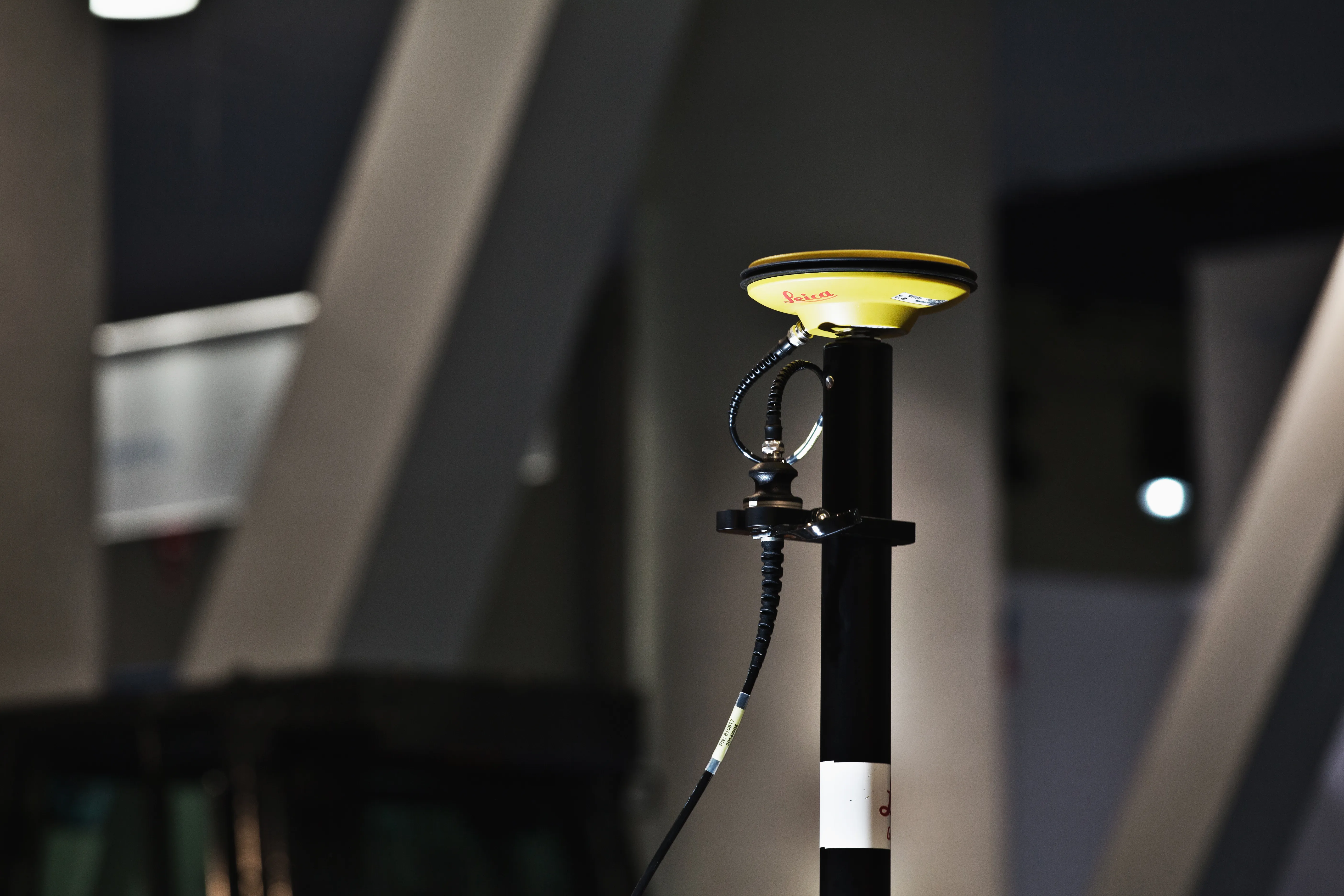
Leica MobileMatriX v5.1 also supports the latest sensors from Leica Geosystems to ensure compatibility of MobileMatriX with other Leica Geosystems technology (Zeno GG03 SmartAntenna, Zeno CS25 GNSS tablet computer, Leica GS14 and the new Leica FlexLine plus series).

For more information on companies in this article

Related Content

  • Leica iCON grade iGD4 increases dozer functionality
    March 6, 2014
    The Leica iCON grade iGD4 solution which enables one dozer to do multiple types of grading work with speed and accuracy was launched has been launched at Conexpo 2014. The highly accurate and efficient iCON grade iGD4 dozer solution calculates the lift, angle, and tilt of the dozer’s six-way blade. It allows operators to angle their blade while iCON grade’s advanced hydraulic control system automatically controls the blade’s lift and tilt. As a result, dozers can now be run at the full extent of their capa
  • ScanStation C10: sophisticated
    March 1, 2012
    High-speed, versatile laser scanning can now be achieved using the latest technology from Leica Geosystems. The firm's sophisticated ScanStation C10 package features a new high-definition surveying (HDS) scanner that is said to increase surveying productivity and accuracy for both routine surveys and large, complex projects.
  • Cultivate better on-site safety awareness by leveraging technology with Leica Geosystems
    August 10, 2023
    When a vital fiber-optic cable was cut during construction work in Germany, the impact was huge. There were telecom disruptions affecting the greater Frankfurt area, all departures and landings at Frankfurt Airport were suspended, and Lufthansa’s global IT system crashed. Leica Geosystems says it is vital to put in place “strategies to protect people, equipment, and assets… and to emphasise the crucial role digital solutions play in ensuring safety.”
  • Improved laser scanning capabilities
    February 23, 2012
    Leica Geosystems is broadening its software offering with its new Leica Cyclone v7.2 package, which is said to improve office processing capabilities. The package has been developed to address key market needs and trends in the processing and use of rich, as-built point cloud data from high definition laser scanning technology. According to the firm the package can help reduce laser scanning project costs, including office time, allowing projects to use more scans and higher scan densities.