Know what lies below with Leica’s DSX 3D utility detection system

April 11, 2025 Read time: 1 min
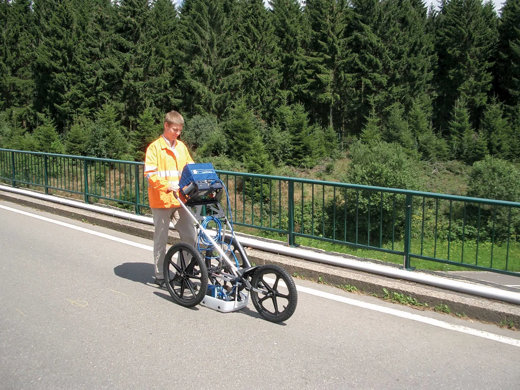
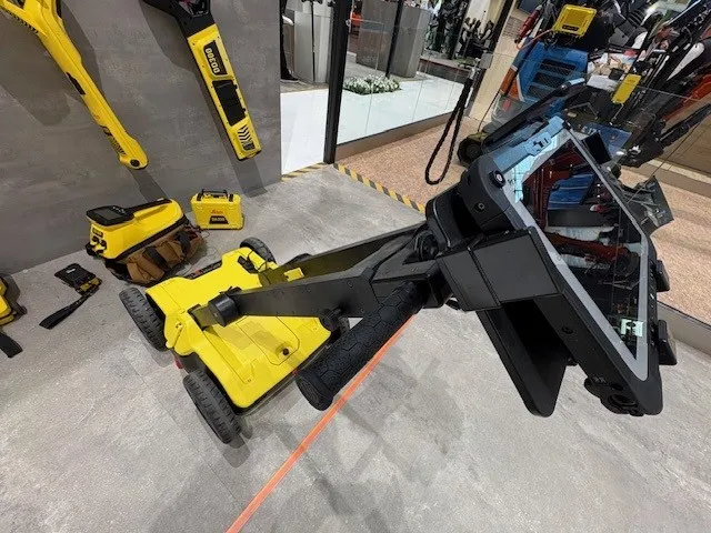
No ordinary lawnmower: utilities can’t hide from Leica Geosystem’s DSX detection solution

Emergency road repair work needn’t create yet another emergency by hitting unknow utility pipes and other systems.  

Leica Geosystems says its DSX utility detection solution can quickly be walked over the area where work is about to start and immediately show an excavator operator any dangers that lie below.

It locates, visualises and map utilities. Unlike any other ground penetrating radar system, the Leica DSX maximises productivity with cutting-edge software that automates data analysis and creates a 3D utility map of the field.

Leica DSX can be used together with Leica GPS/GNSS systems to generate highly accurate georeferenced maps.  

There is also a ‘quick scan’ mode for a quick utility, anomaly and ground condition check before a more detailed grid scan project gets underway.

Operators can add different background layers, such as Google Maps or DXF/DWG.

The solution can export, store, share and access data on major Cloud service providers. It can also maximise troubleshooting efficiency by sharing 
diagnostics data via the Cloud.

For more information on companies in this article

Related Content

  • Data sharing boosts workzone safety
    March 19, 2012
    Faster and safer utilities works are the benefit of innovative data sharing moves – Mike Woof writes. Utilities works in urban areas can cause major problems with regard to traffic congestion, as well as posing key safety issues for road users and site workers. Better planning of utilities operations can help tackle congestion and prevent jams, while also ensuring that on-site personnel have a safer working environment. To ensure that site workers know the exact location of buried utilities, comprehensive m
  • Sophisticated plotting
    February 7, 2012
    Leica Geosystems is offering its improved SpiderWeb v4.0 package as part of the new reference station software update. This improved suite of solutions also includes the GNSS Spider v4.0 and SpiderQC v4.0 packages.
  • Fast road checking
    February 7, 2012
    A sophisticated package for evaluating road condition is now available called e-Spott, from Pipe Hawk. This system is said to be a fast and reliable method of measuring the total bound layer thickness of asphalt laid in a highway reinstatement.
  • GSSI offers bridge monitoring tool
    May 19, 2015
    GSSI is introducing the sophistictaed BridgeScan condition assessment system. This package is used for concrete inspection and utility mapping of bridges. Said to be both affordable and versatile, this ground penetrating radar (GPR) equipment can be used to assess concrete condition on bridge decks, as well as parking structures. Using this unit offers accurate assessments of concrete condition, which improves repair cost estimation and saves time and money. With BridgeScan, identification of rebar