Jet intersection

In Sao Paolo, drivers had a lucky escape when a light aircraft overshot a runway and crashed at the edge of a busy highway. Unable to stop in time, the small jet was only prevented from ploughing into traffic on the highway by the airport’s perimeter fence.
February 18, 2013 Read time: 1 min
In Sao Paolo, drivers had a lucky escape when a light aircraft overshot a runway and crashed at the edge of a busy highway. Unable to stop in time, the small jet was only prevented from ploughing into traffic on the highway by the airport’s perimeter fence.

Related Content

  • Brazil’s ANTT launches public consultation for NovaDutra extension
    March 18, 2016
    Brazil's national land transport agency ANTT has launched a public consultation concerning a proposed contract extension of 13 years for the NovaDutra highway concession held by CCR. The deal covers the Rodovia Presidente Dutra highway between Rio de Janeiro and Sao Paulo, according to a report by the Valor Economico newspaper. Consultations will run for 30 days until mid-April and include two sessions in Sao Paulo and Rio de Janeiro.
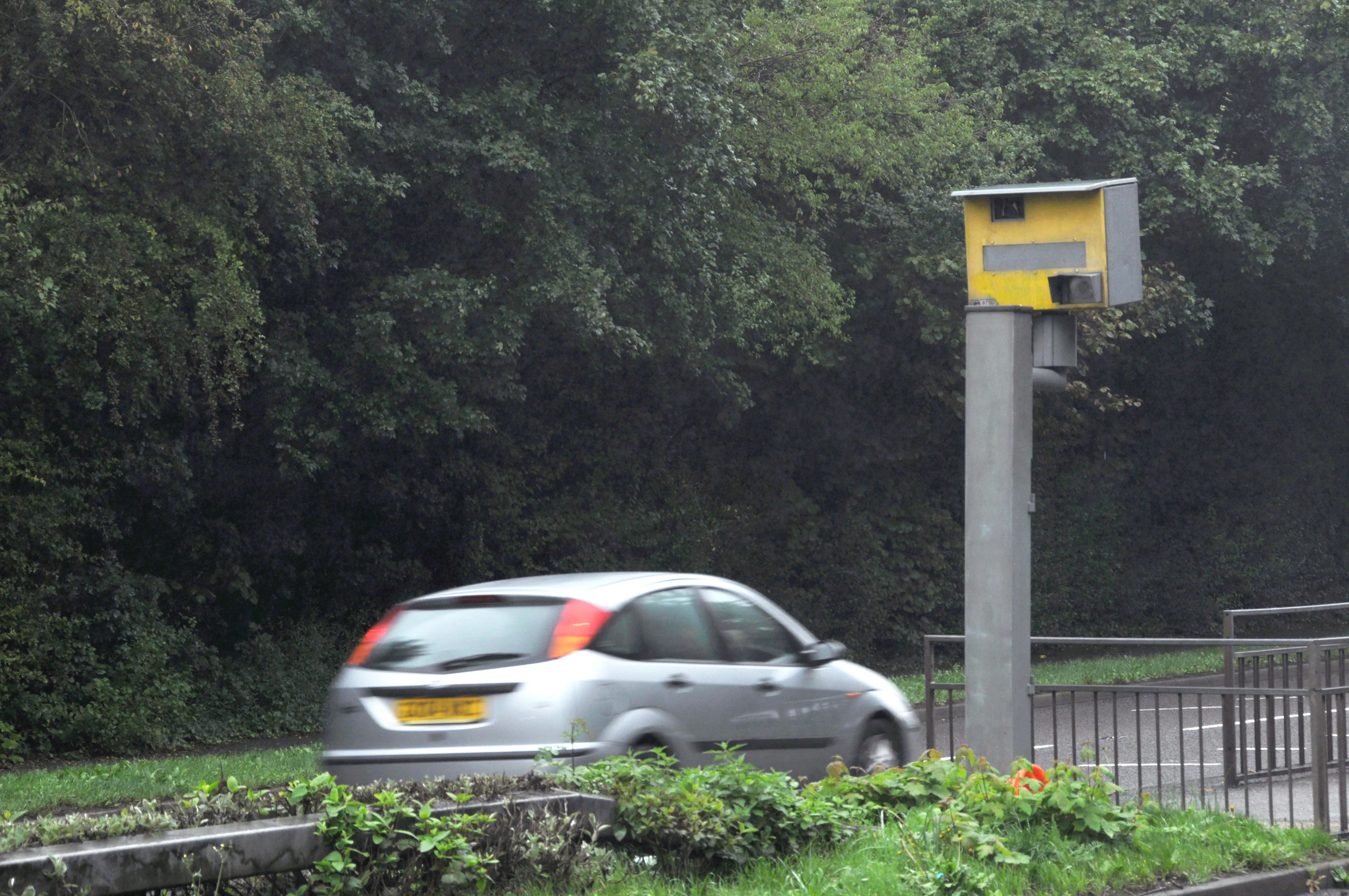
  • Telematics technology can identify risky drivers
    June 16, 2015
    A new study shows that the risk level of a driver’s likelihood of a crash can be determined accurately. An independent study carried out by driver behaviour specialist CAS for Risk Technology shows that data collected by automotive telematics devices can accurately predict the likelihood of a motorist having a crash. CAS carried out its research with 1,291 drivers who were insured by a leading UK firm and had telematics devices installed in their vehicles. The study examined how driver behaviour affects the
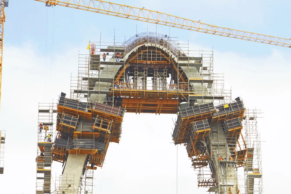
  • ULMA's complete climbing solutions
    January 1, 2018
    ULMA's complete climbing solutions is an integral package that provides forming, climbing, and safety in a single product line. We offer an integrated solution that adapts to any height and geometry, is cost-effective, and increases on-site productivity.
  • VIDEO: Telstra drone LIDAR maps Melbourne’s EastLink Mullum Tunnel
    April 13, 2018
    One of the applications for LIDAR is to make high resolution 3-D maps. Self-driving cars are pre-loaded with a LIDAR map of the trials area in which they are permitted to fully self-drive themselves. The cars also have their own LIDAR scanner which captures a real-time LIDAR view of the vehicle’s surroundings. The fully autonomous driving system within these prototype cars compares the real-time LIDAR view against the pre-loaded LIDAR map to significantly increase the accuracy of their self-positioning