It’s a level playing field with Leica’s iCON gps 70 Series

Efficiency is the name of the game from the iCON gps 70 Series, a GNSS rover from Leica Geosystems. With the iCON gps 70 T you can measure and stakeout points faster and without the need to keep the pole vertical and level the bubble. The combination of the latest GNSS technology and inertial measurement unit (IMU) equips the iCON gps 70 T with permanent tilt compensation and makes it resistant to any magnetic interference. Because the iCON gps 70 T is calibration-free, it can be ready instantly and any
April 27, 2018 Read time: 2 mins
Leica’s iCON gps 70: no need to keep the pole vertical and level the bubble

Efficiency is the name of the game from the iCON gps 70 Series, a GNSS rover from Leica Geosystems.

With the iCON gps 70 T you can measure and stakeout points faster and without the need to keep the pole vertical and level the bubble.

The combination of the latest GNSS technology and inertial measurement unit (IMU) equips the iCON gps 70 T with permanent tilt compensation and makes it resistant to any magnetic interference.

Because the iCON gps 70 T is calibration-free, it can be ready instantly and anywhere that it is needed.

The on-site operator can collect as-built field data and stake out designs faster while increasing accuracy and reduced errors. This also allows the operative to focus more on his or her safety in a hazardous environment.

The iCON gps 70 series is seamlessly integrated into the Leica iCON field software. By keeping the core central interface, following the unrivalled Leica iCON concept, the onsite operative can benefit from the simple-to-use workflows which require less training and avoid costly downtime.

The GNNSS technology allows 555 channels for more signals, faster acquisition
and improved sensitivity.

To ensure accuracy and continued use, the unit is IP66 / IP68 protected. It is also built for extreme temperatures of -40°C to +65°C.

Related Content

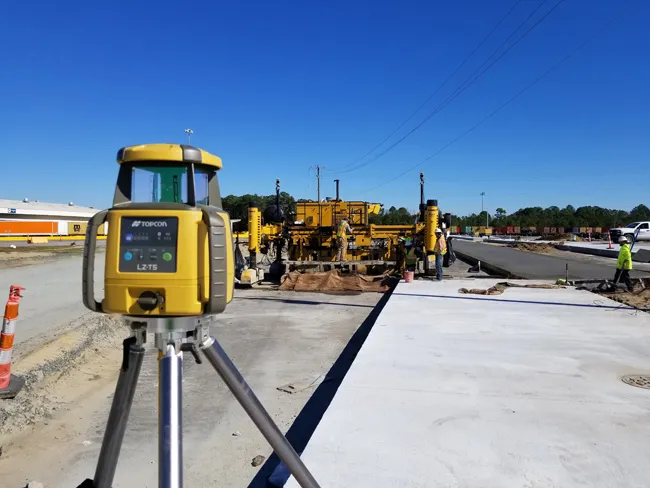
  • Optimising paving processes with Topcon
    November 21, 2019
    The use of sophisticated machine control technology is integral to delivering high quality and productivity for concrete paving operations
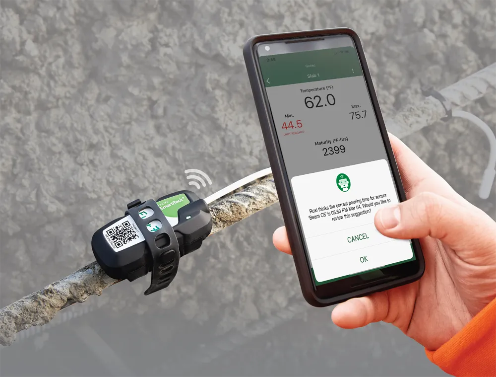
  • Testing: new tech, old problems and business moves
    August 21, 2020
    In this issue’s materials testing news, there’s a glimpse of how artificial intelligence could improve quality and efficiency in concrete construction, we look at what works best for fixing cracks and two established equipment manufacturers change hands.
  • Innovative GIS software offerings
    July 18, 2012
    The latest construction software developments can speed the construction process overall, Adrian Greeman reports Construction software is by its very nature a very fast moving technology, with new systems coming to the market almost continuously. There are some key developments however, such as major new product launches and market trends. One of the most important developments in the road design sector is the launch of the Bentley Systems V8i versions of its software, including its road design applications
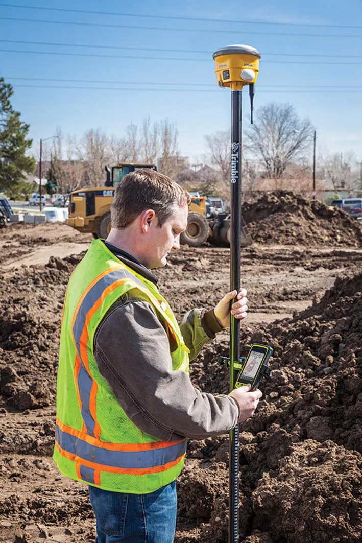
  • Trimble launches Site Positioning System Essentials Kit
    February 20, 2014
    Trimble has introduced a Site Positioning System designed for owner operators, small site contractors or construction companies new to GPS. The Trimble Site Positioning System Essentials Kit gives contractors proven Trimble quality and accuracy in an affordable and easy-to-use solution. The Essentials Kit is comprised of the new Trimble Site Mobile controller, Trimble SCS900 Site Controller Software and Trimble SPS985L GNSS Smart Antenna for a complete GPS positioning solution. Using GPS, a grade checker