It’s a level playing field with Leica’s iCON gps 70 Series

Efficiency is the name of the game from the iCON gps 70 Series, a GNSS rover from Leica Geosystems. With the iCON gps 70 T you can measure and stakeout points faster and without the need to keep the pole vertical and level the bubble. The combination of the latest GNSS technology and inertial measurement unit (IMU) equips the iCON gps 70 T with permanent tilt compensation and makes it resistant to any magnetic interference. Because the iCON gps 70 T is calibration-free, it can be ready instantly and any
April 27, 2018 Read time: 2 mins
Leica’s iCON gps 70: no need to keep the pole vertical and level the bubble

Efficiency is the name of the game from the iCON gps 70 Series, a GNSS rover from Leica Geosystems.

With the iCON gps 70 T you can measure and stakeout points faster and without the need to keep the pole vertical and level the bubble.

The combination of the latest GNSS technology and inertial measurement unit (IMU) equips the iCON gps 70 T with permanent tilt compensation and makes it resistant to any magnetic interference.

Because the iCON gps 70 T is calibration-free, it can be ready instantly and anywhere that it is needed.

The on-site operator can collect as-built field data and stake out designs faster while increasing accuracy and reduced errors. This also allows the operative to focus more on his or her safety in a hazardous environment.

The iCON gps 70 series is seamlessly integrated into the Leica iCON field software. By keeping the core central interface, following the unrivalled Leica iCON concept, the onsite operative can benefit from the simple-to-use workflows which require less training and avoid costly downtime.

The GNNSS technology allows 555 channels for more signals, faster acquisition
and improved sensitivity.

To ensure accuracy and continued use, the unit is IP66 / IP68 protected. It is also built for extreme temperatures of -40°C to +65°C.

Related Content

  • AibotX6 Version 2 uses High Precision GNSS
    January 19, 2016
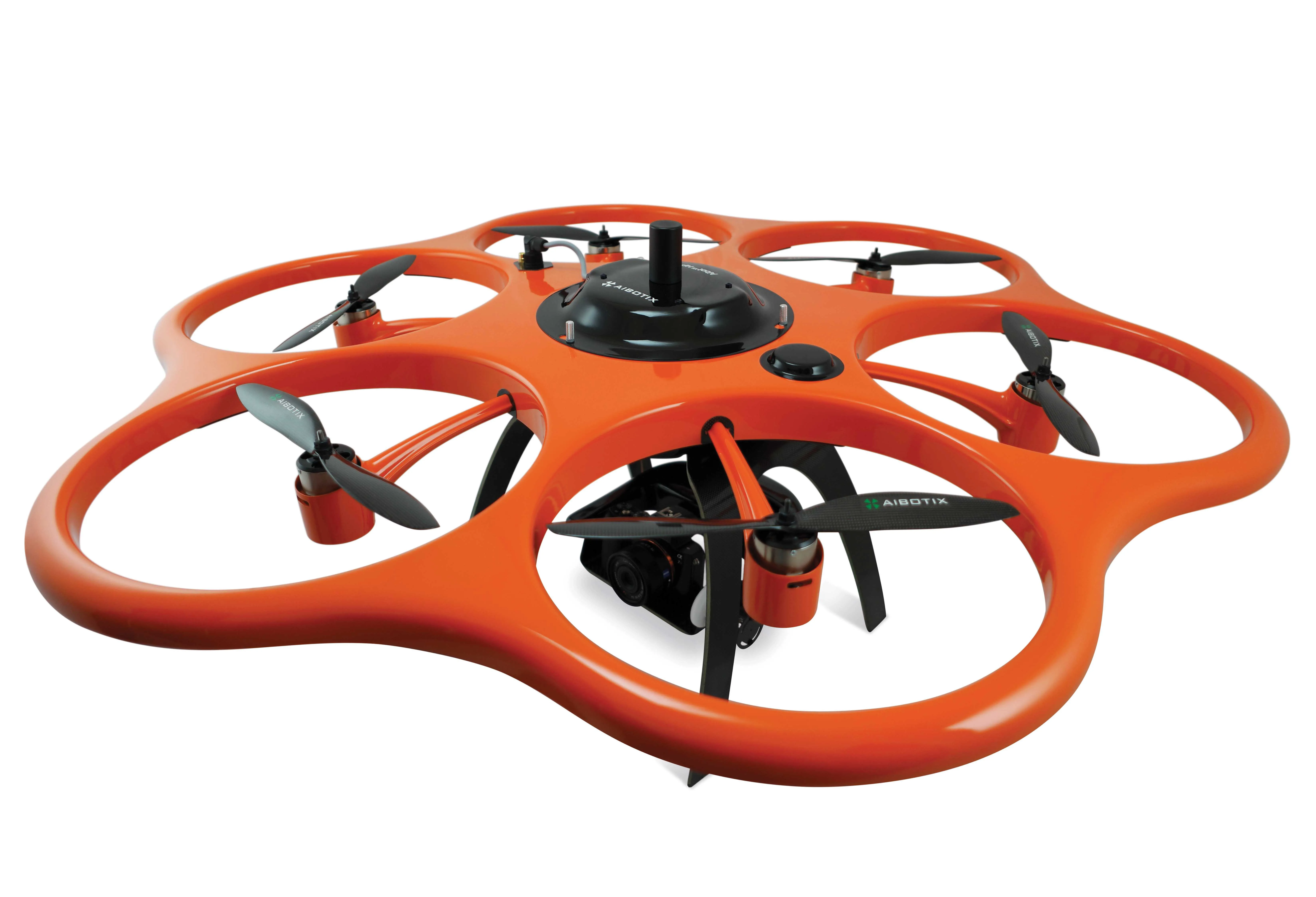
    Kassel-based company Aibotix has presented a solution for high-precision surveying with Version 2 of its tried and tested surveying hexacopter AibotX6: High Precision GNSS. Aibotix, based in Kassel, in the middle of Germany, develops and manufactures multi-copters for applications in the industrial sector. The company's name is a combination of Ai for artificial intelligence and botix for robotics.
  • Machine guidance and asset management aid fleet utilisation
    July 16, 2012
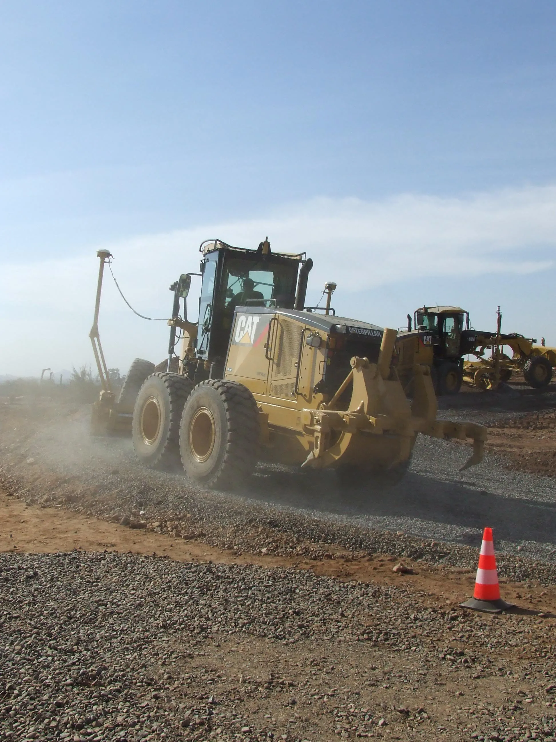
    Integrating Caterpillar's latest machine guidance and asset management tools offers efficiency gains for contractors in a competitive market. Mike Woof reports Caterpillar has been a leader in the development of GPS machine control systems through its partnership with Trimble. The manufacturer has rolled out a series of AccuGrade packages for various machines in its line-up, starting with the dozers and graders and then spreading to other machines such as scrapers, excavators and soil compactors. Caterpilla
  • Hexagon acquires UK safety firm Xwatch
    April 26, 2024
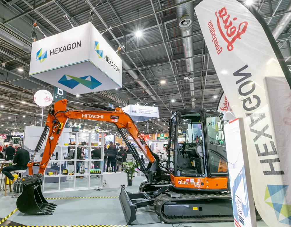
    The XW Series units help operators set up safe virtual working zones.
  • Mobile measurement of pavement markings – technology in the move
    January 20, 2014
    Mobile retroreflectometers have taken a technologic step ahead with the launch of the LTL-M system. New patented technology improves measurement accuracy to a level so far only provided by handheld retroreflectometers and offers better coverage. The need for accurate data on the performance of pavement markings has never been greater as road authorities seek to provide a high safety level for increasingly congested roads. Furthermore, due to the ageing populations in many parts of the world, a growing n