It’s a level playing field with Leica’s iCON gps 70 Series

Efficiency is the name of the game from the iCON gps 70 Series, a GNSS rover from Leica Geosystems. With the iCON gps 70 T you can measure and stakeout points faster and without the need to keep the pole vertical and level the bubble. The combination of the latest GNSS technology and inertial measurement unit (IMU) equips the iCON gps 70 T with permanent tilt compensation and makes it resistant to any magnetic interference. Because the iCON gps 70 T is calibration-free, it can be ready instantly and any
April 27, 2018 Read time: 2 mins
Leica’s iCON gps 70: no need to keep the pole vertical and level the bubble

Efficiency is the name of the game from the iCON gps 70 Series, a GNSS rover from Leica Geosystems.

With the iCON gps 70 T you can measure and stakeout points faster and without the need to keep the pole vertical and level the bubble.

The combination of the latest GNSS technology and inertial measurement unit (IMU) equips the iCON gps 70 T with permanent tilt compensation and makes it resistant to any magnetic interference.

Because the iCON gps 70 T is calibration-free, it can be ready instantly and anywhere that it is needed.

The on-site operator can collect as-built field data and stake out designs faster while increasing accuracy and reduced errors. This also allows the operative to focus more on his or her safety in a hazardous environment.

The iCON gps 70 series is seamlessly integrated into the Leica iCON field software. By keeping the core central interface, following the unrivalled Leica iCON concept, the onsite operative can benefit from the simple-to-use workflows which require less training and avoid costly downtime.

The GNNSS technology allows 555 channels for more signals, faster acquisition
and improved sensitivity.

To ensure accuracy and continued use, the unit is IP66 / IP68 protected. It is also built for extreme temperatures of -40°C to +65°C.

Related Content

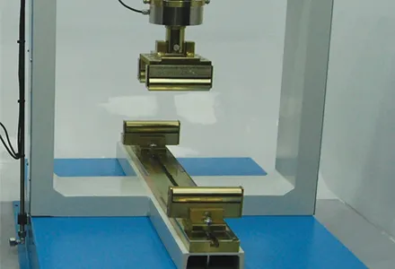
  • A flexible approach to concrete testing
    February 20, 2012
    One of the world's most versatile building materials is subject to a variety of tests to make sure it is fit for purpose. Patrick Smith reports
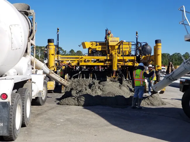
  • Millimetre accuracy for concrete paving
    July 30, 2019
    Concrete paving is now benefiting from the use of sophisticated machine control tools to deliver accuracy and high-quality surfaces Heavy use of concrete roads and runways over time will reveal any flaws in workmanship, the invasion of water, or the wear from use. Discolouration, scaling, crazing, cracking, or curling will sometimes occur due to a poor ready-mix batch, inadequate curing procedure, subgrade settlement, or improper bonding of the finish layer. Concrete surfaces are generally very durab
  • Laser sensors offer range of duties
    October 17, 2012
    Sick UK says its new LMS500 family of laser sensors achieves new levels of high-speed and consistent performance in adverse highway conditions. “The incontrovertible rule in laser measurement used to be – if you can’t see it, the laser can’t see it, but with the LMS500 this is no longer true,” said Tim Stokes, SICK UK laser sensor specialist. “These hard-working sensors ignore spray, smoke and dust and cope with rain, snow, ice and fog. They will operate reliably for applications such as vehicle spacing, sp
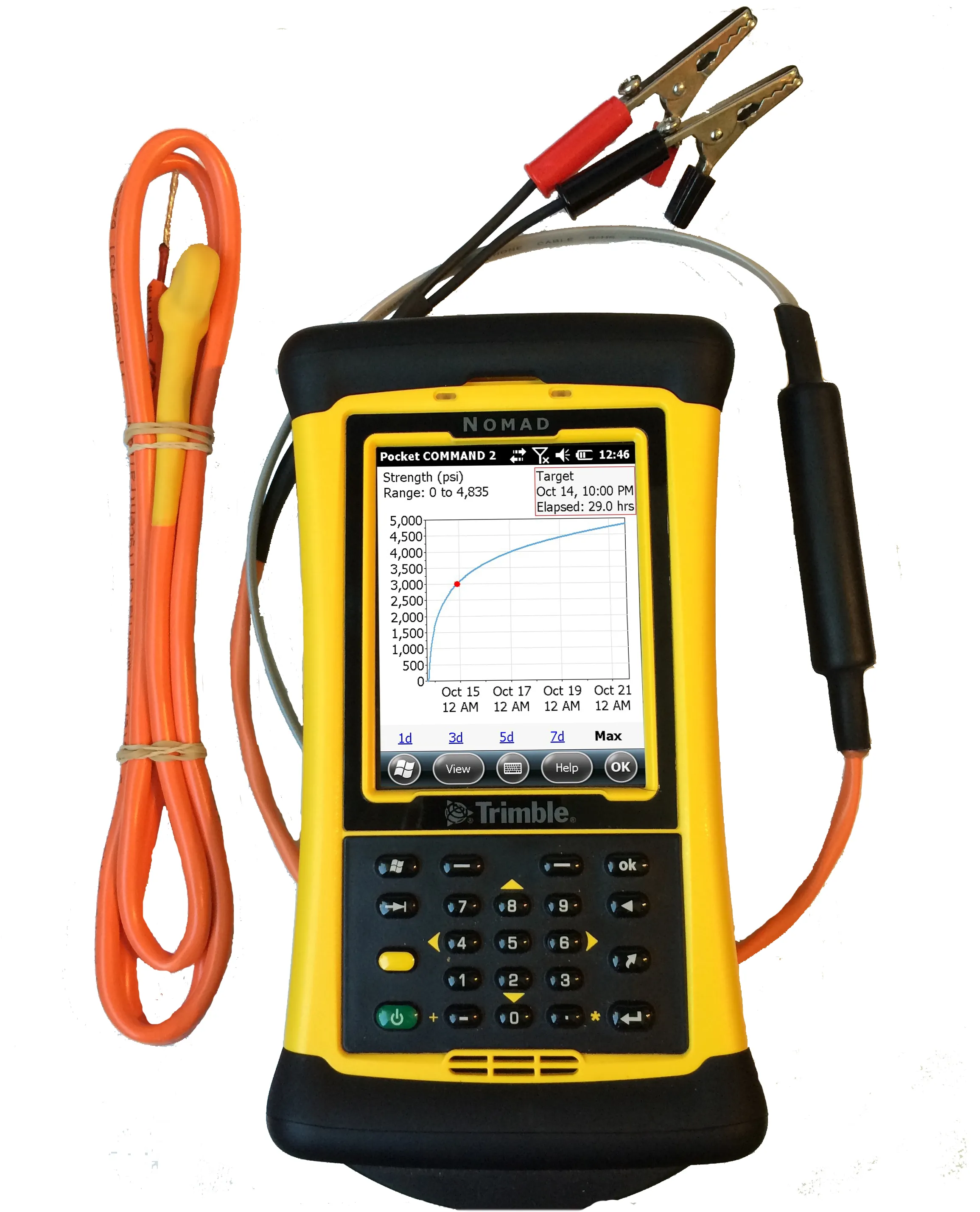
  • Transtec launches Command Center 2.0 for concrete monitoring
    February 27, 2017
    Transtec Group has launched what it says is a powerful upgrade for concrete maturity and temperature monitoring. Command Center 2.0 (CC 2.0) includes updated desktop and mobile software, improved readers for data collection and a more durable, highly visible sensor cable.