Hexagon and Nemetschek form partnership

Hexagon and Nemetschek have formed a key partnership.
By MJ Woof September 19, 2024 Read time: 2 mins
Hexagin and Nemetschek have formed a strategic partnership

Hexagon's Geosystems division and software specialist the Nemetschek Group have established a strategic partnership to accelerate the digital transformation within construction. The partnership is intended to drive the adoption of digital twins by offering customers integrated, end-to-end workflows for efficient and sustainable building operations.

Huge quantities of data are created during the lifecycle of a construction project but much of this valuable information resides in silos and becomes outdated over time. Incomplete and outdated information leads to poor decisions that can affect a structure’s performance and increase operational costs. Nemetschek and Hexagon believe that digital twins can address this issue, transforming the industry and overcoming technical challenges. A digital twin boosts visibility, increases efficiency and delivers data-driven insights.

Hexagon leverages its end-to-end reality capture and Scan2BIM solutions to automatically capture accurate and real-time field data to create Digital Twins across all sectors. It uses its AI- powered solutions to support analytics and simulations, generate progress insights as well as provide an immersive experience navigating assets during design, construction and operations through its VR/AR and positioning technology.

Nemetschek’s new dTwin package is, cloud-based Digital Twin platform that delivers data-driven insights, helping management from design to operations. This package brings together relevant information from CAD/BIM, IWMS with real-time streams from operations, providing value via visualisation, data analysis and asset management. With the platform, users can optimise operations based on real time information and data-funded decision criteria.

Jointly, Nemetschek and Hexagon will provide customers with the tools, services and expertise for an end-to-end, digital twin workflow by joining the up-to-date building data through Hexagon’s reality capture solutions with the smart operations powered by Nemetschek’s dTwin.  


For more information on companies in this article

Related Content

  • Trimble’s new solutions boost road building
    January 29, 2014
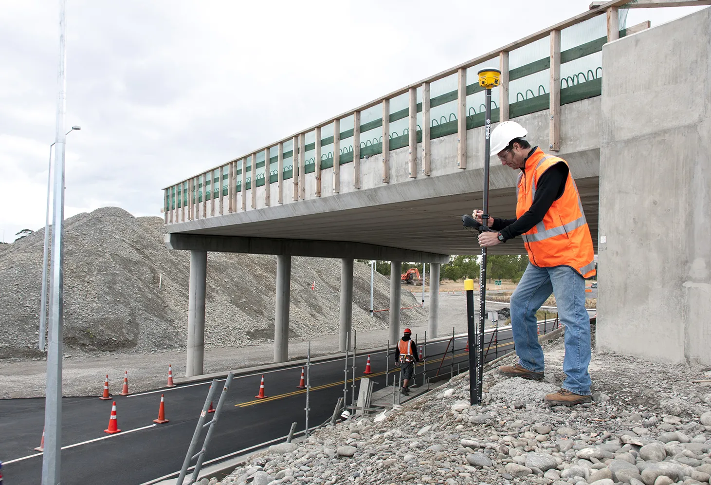
    Trimble is now offering a sophisticated package of solutions comprising hardware, software and mobility technologies. This streamlines communication and collaboration throughout the construction lifecycle, from planning, design and site preparation through to the finished project. Connecting sites delivers value across the entire project lifecycle, as real-time data gives contractors and stakeholders better information about material, people and asset utilisation for improved productivity.
  • Innovation in road design and management software
    February 17, 2012
    The emphasis on data processing and re-use, continues to grow in the development of design and management software. The interoperability of software, the need to handle and process larger amounts of data, and re-use and retention of data sets from one task to another have been a growing emphasis in the past few years. It allows infrastructure companies to get better value from expensively collected information and to focus more on the whole life cycle of projects.
  • Reality check: Topcon’s Aptix
    July 20, 2023
    The biggest challenge facing construction professionals and general contractors is disconnected data and/or siloed data sources. The recently launched Aptix integration platform has broken down these silos, explains Topcon’s Scott Langbein.
  • Leica Cyclone teams up with NCTech’s iSTAR camera database
    January 19, 2016
    Users of Leica Cyclone, a 3D point cloud processing software, can now automatically import and align high-dynamic range (HDR) data from NCTech’s iSTAR camera database. The result is enhanced images delivered faster and easier, according to both companies. “It is also the accuracy to which these images fit the 3D point cloud data that is paramount. NCTech’s iSTAR camera produces high-quality HDR imaging at the accuracy everyone expects,” said Faheem Khan, vice president, business development for Leica Geosys