
Hexagon and Nemetschek form partnership

Hexagon and Nemetschek have formed a key partnership.
By MJ Woof September 19, 2024 Read time: 2 mins
Hexagin and Nemetschek have formed a strategic partnership

Hexagon's Geosystems division and software specialist the Nemetschek Group have established a strategic partnership to accelerate the digital transformation within construction. The partnership is intended to drive the adoption of digital twins by offering customers integrated, end-to-end workflows for efficient and sustainable building operations.

Huge quantities of data are created during the lifecycle of a construction project but much of this valuable information resides in silos and becomes outdated over time. Incomplete and outdated information leads to poor decisions that can affect a structure’s performance and increase operational costs. Nemetschek and Hexagon believe that digital twins can address this issue, transforming the industry and overcoming technical challenges. A digital twin boosts visibility, increases efficiency and delivers data-driven insights.

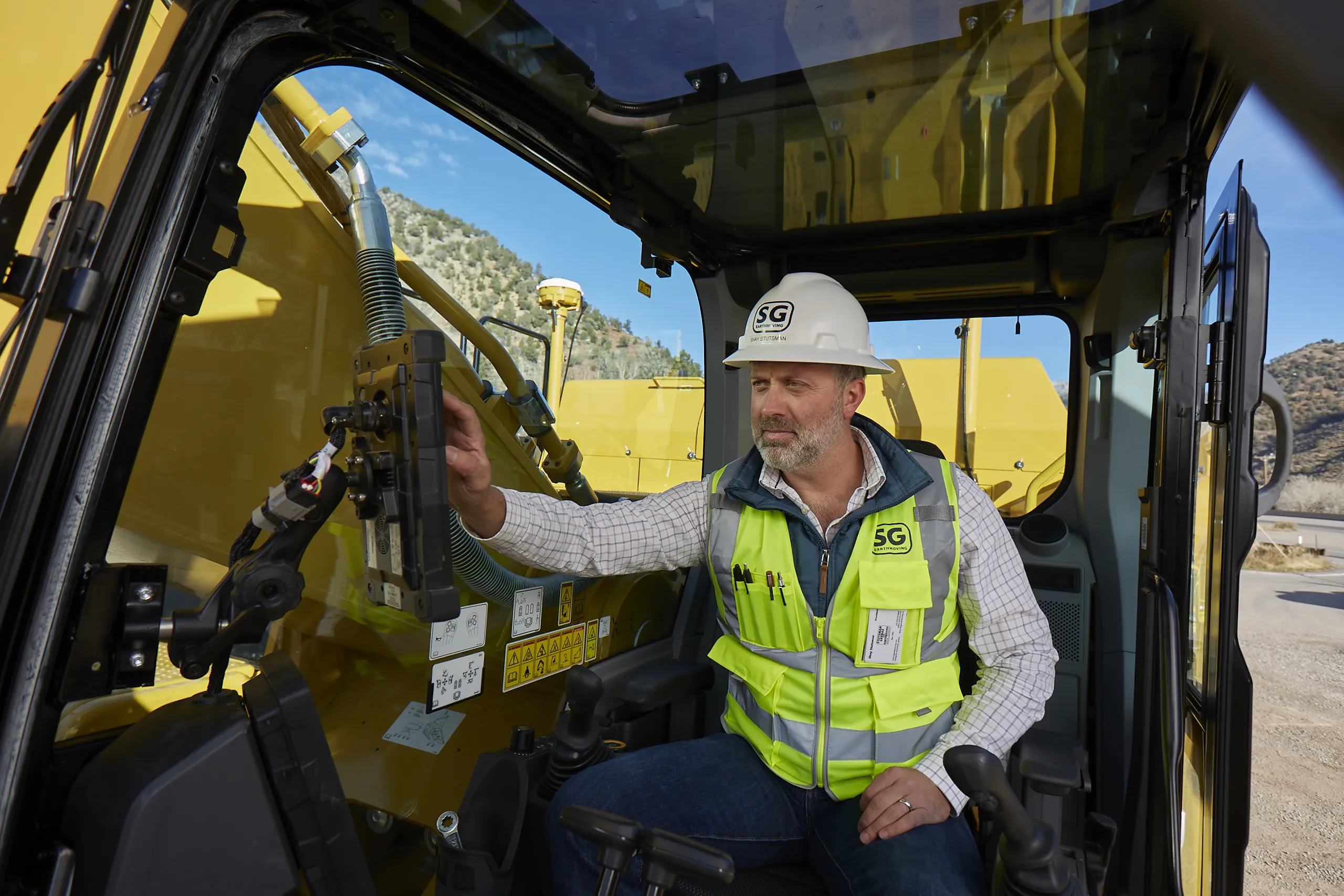
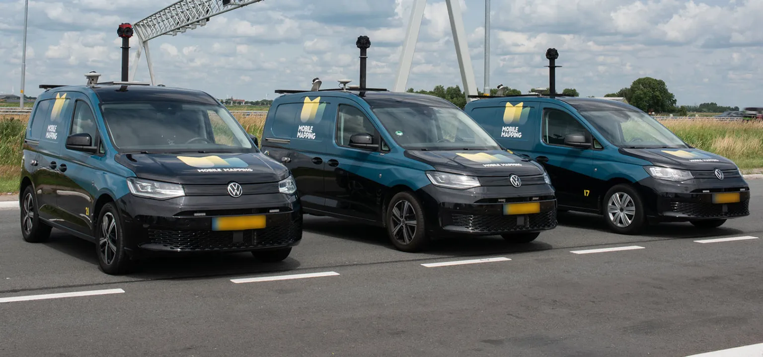
Hexagon leverages its end-to-end reality capture and Scan2BIM solutions to automatically capture accurate and real-time field data to create Digital Twins across all sectors. It uses its AI- powered solutions to support analytics and simulations, generate progress insights as well as provide an immersive experience navigating assets during design, construction and operations through its VR/AR and positioning technology.

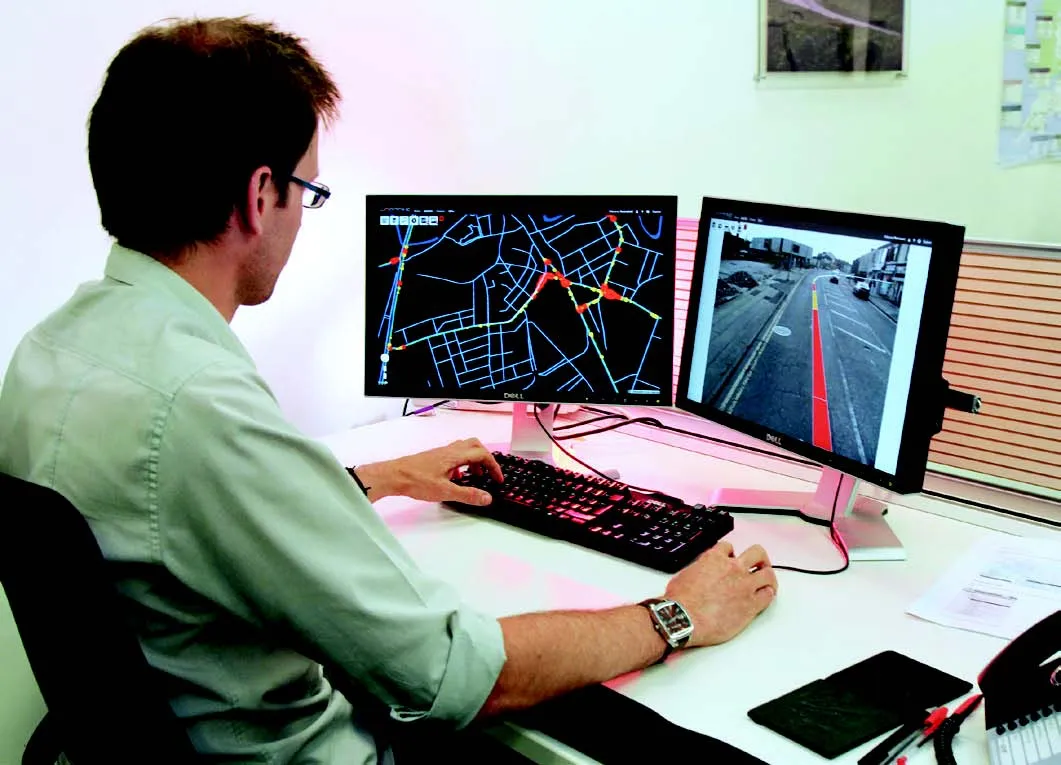
Nemetschek’s new dTwin package is, cloud-based Digital Twin platform that delivers data-driven insights, helping management from design to operations. This package brings together relevant information from CAD/BIM, IWMS with real-time streams from operations, providing value via visualisation, data analysis and asset management. With the platform, users can optimise operations based on real time information and data-funded decision criteria.

Jointly, Nemetschek and Hexagon will provide customers with the tools, services and expertise for an end-to-end, digital twin workflow by joining the up-to-date building data through Hexagon’s reality capture solutions with the smart operations powered by Nemetschek’s dTwin.  


For more information on companies in this article

Related Content

  • Don't buy, subscribe instead... and stay ahead of the pack
    September 19, 2024
    The traditional way of doing things is to own the construction equipment you need on site. You can buy, or you can rent. You mix and match your technology needs with what is happening on site and your costs go up and down accordingly. However, a new model is emerging: Subscriptions. Take out a flat-fee plan and let someone else make sure you can get access to the latest thinking and the cleverest technology. Pete Kennedy reports.
  • Yotta develops new tools for sophisticated GIS package
    April 25, 2013
    Highway technology and services company Yotta DCL has announced new features for Horizons. The web-based platform integrates GIS, pavement and asset management for highways authorities and agencies to use in a visualised asset management system. The new version 2.3 adds features and functionality across three modules: Explorer, Analysis and Management. Explorer allows users to view, load and visualise a range of datasets, including base network data, their condition in fine detail, plus relevant asset or co
  • Accurate deformation monitoring from Leica Geosystems
    March 7, 2017
    Leica Geosystems is now offering a sophisticated tool that allows engineers to measure deformation accurately. The Leica GeoMoS Now! Survey Edition is a service for monitoring and managing 3D deformation of points of potentially unstable areas for surveying projects. It has a streamlined workflow and can deliver monitoring reports of man-made structures or natural dangers to smart devices. Surveyors can use this to upload coordinates, process and visualise deformations, allowing other users to access result
  • AI-InfraSolutions, STEMMER improve asset ID
    November 20, 2024
    Their panoramic camera head is designed for automated data collection in applications such as traffic sign identification, road condition assessments and environmental monitoring.