Hawkeye 1000 DUO Released

ARRB Group has introduced the latest addition to the Hawkeye 1000 series, the Hawkeye 1000 DUO. The Hawkeye 1000 portable range was previously limited to a standalone laser profiler and a separate video imaging system. With recent advancements in computer hardware and an intense in-house development programme, ARRB Systems is now releasing the Hawkeye 1000 DUO which successfully combines the benefits of the two systems. Consisting of a single or dual laser profiler and a single dashboard-mounted video camer
February 9, 2012 Read time: 1 min
159 ARRB Group has introduced the latest addition to the Hawkeye 1000 series, the Hawkeye 1000 DUO.

The Hawkeye 1000 portable range was previously limited to a standalone laser profiler and a separate video imaging system. With recent advancements in computer hardware and an intense in-house development programme, ARRB Systems is now releasing the Hawkeye 1000 DUO which successfully combines the benefits of the two systems.

Consisting of a single or dual laser profiler and a single dashboard-mounted video camera, the Hawkeye 1000 DUO is capable of collecting longitudinal profile, roughness and macro-texture and providing fully linked video images, at highway speeds.

It can be used in rural and urban locations, and can offer positioning and measurement of road and asset inventory; verify site conditions (by visual methods in post-processing) when large variations in data are detected by the profiler; quality assessments and road safety engineering assessments.

For more information on companies in this article

Related Content

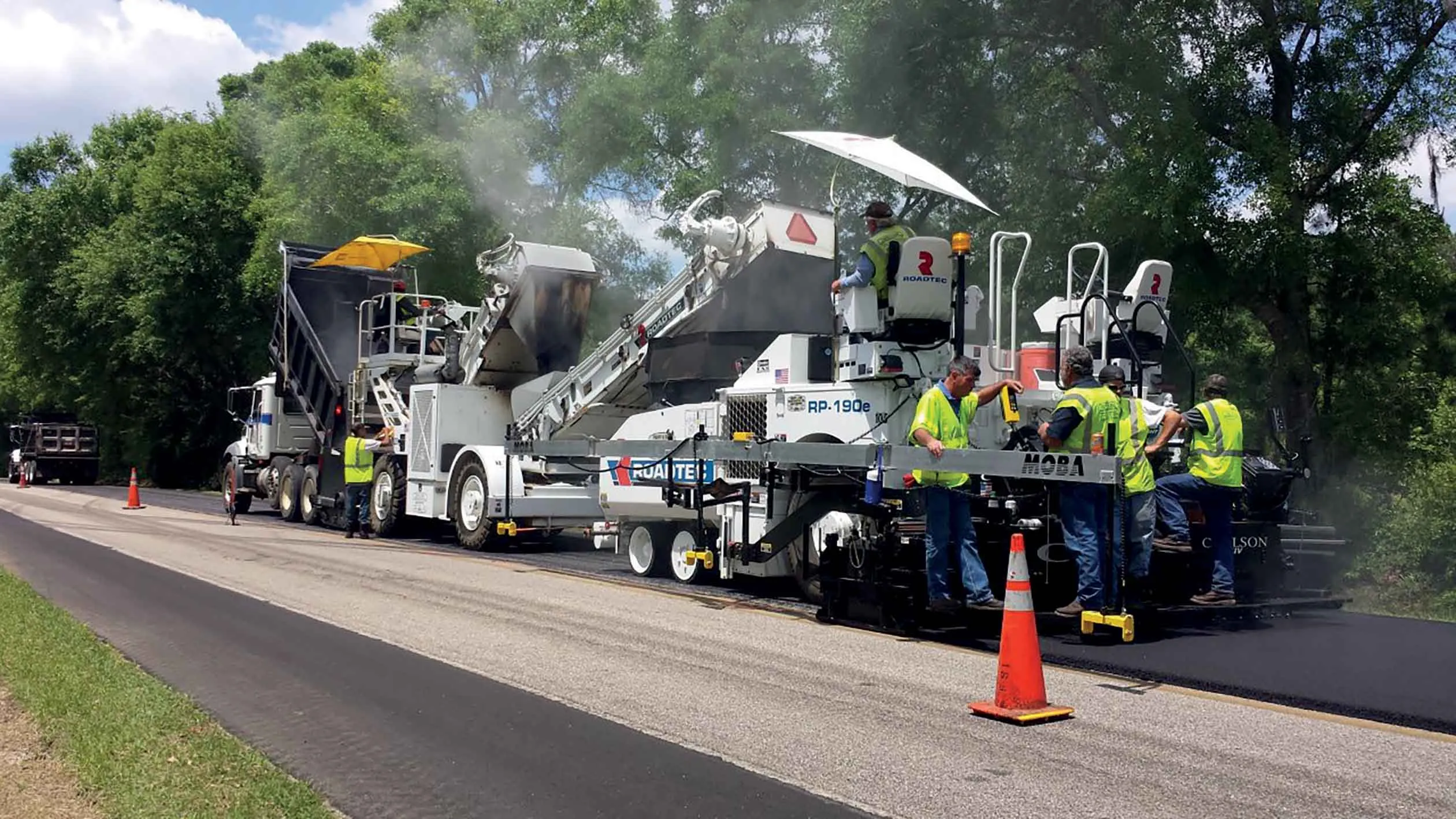
  • Smoother highway achieved in Florida
    June 16, 2016
    The busy I-10 in Florida is now benefiting from a smoother surface, following very necessary reconstruction work. There were no completed sections of I-10 until 1961 when the 59km Sanderson to Jacksonville stretch was first finished. In the years since, section by section have been constructed, culminating in the complete stretch of I-10 in Florida, running 579km through the state. The interstate stretches west well beyond the Florida border making I-10 one of three coast-to-coast interstates, along with
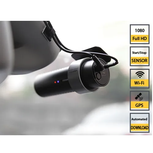
  • Ver-Mac launches the cloud-based WZMC-1000 work zone camera system
    May 18, 2018
    Ver-Mac has launched the WZMC-1000, a fully-automated cloud-based work zone camera system. It comes with an integrated GPS, as well as integrated wifi, a proximity sensor to start-stop recording and voice feedback. The Canadian company, based in Quebec City, says that the easy-to-use low-cost high-definition system allows contractors and agencies a tool to document their projects with very minimal management. It provides high-quality videos along with automatic video transfer and cloud-based storage.
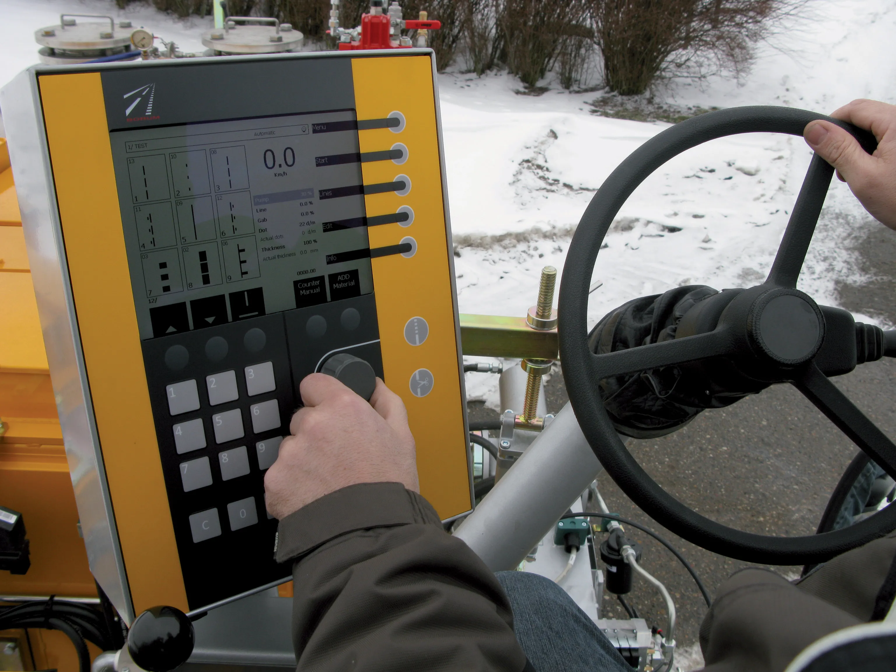
  • New software makes road marking applications easier
    February 17, 2012
    Equipment, materials and testing combine to offer motorists better road markings as Patrick Smith reports Drivers realise that clear road markings, particularly in darkness and during the wet, are life-savers, offering guidance and direction. Manufacturers of marking materials, in-road studs, and testing and laying equipment have spent years perfecting solutions to make such markings easier to place; easier to see through the use of a variety of materials, and longer lasting. Sophisticated testing equip
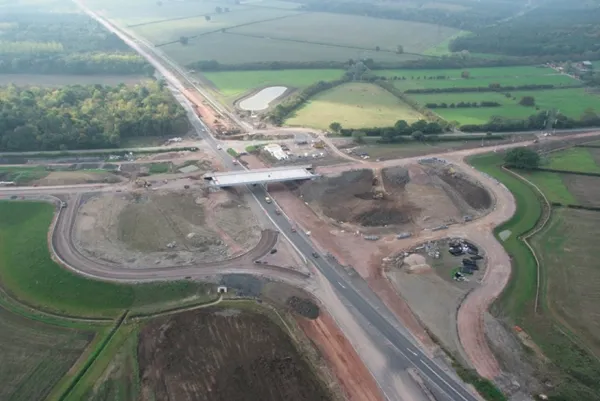
  • Smart constructioon with GIS, GPS design technology
    May 2, 2012
    A UK highway project has benefited from the latest software, GIS and GPS technology, Mike Woof reports. Sophisticated software, GIS and GPS technology has played an important role in a large highway upgrade project in the UK and helping to increase efficiency and drive down construction costs.