
Hawkeye 1000 DUO Released

ARRB Group has introduced the latest addition to the Hawkeye 1000 series, the Hawkeye 1000 DUO. The Hawkeye 1000 portable range was previously limited to a standalone laser profiler and a separate video imaging system. With recent advancements in computer hardware and an intense in-house development programme, ARRB Systems is now releasing the Hawkeye 1000 DUO which successfully combines the benefits of the two systems. Consisting of a single or dual laser profiler and a single dashboard-mounted video camer
February 9, 2012 Read time: 1 min
159 ARRB Group has introduced the latest addition to the Hawkeye 1000 series, the Hawkeye 1000 DUO.

The Hawkeye 1000 portable range was previously limited to a standalone laser profiler and a separate video imaging system. With recent advancements in computer hardware and an intense in-house development programme, ARRB Systems is now releasing the Hawkeye 1000 DUO which successfully combines the benefits of the two systems.

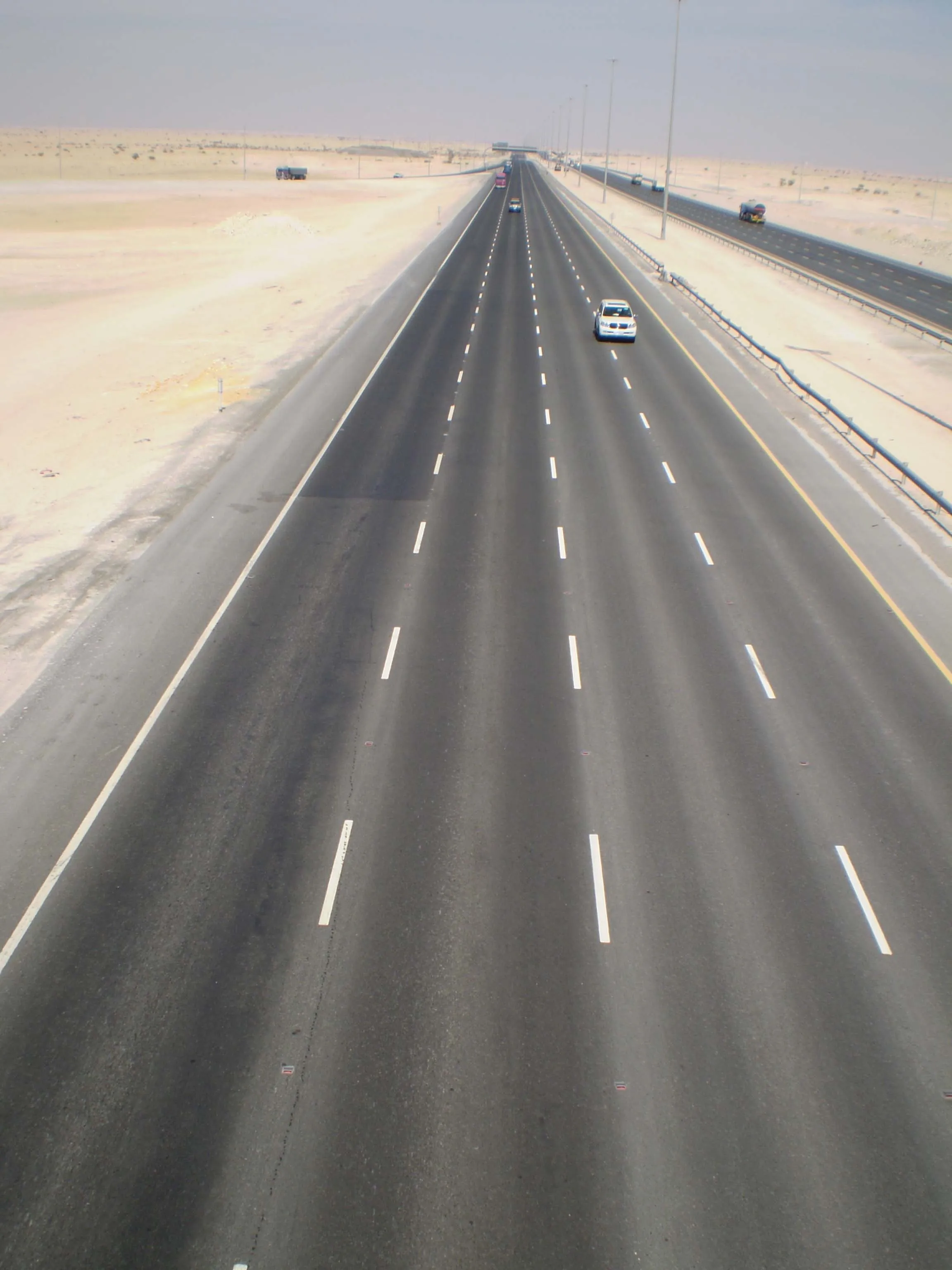
Consisting of a single or dual laser profiler and a single dashboard-mounted video camera, the Hawkeye 1000 DUO is capable of collecting longitudinal profile, roughness and macro-texture and providing fully linked video images, at highway speeds.

It can be used in rural and urban locations, and can offer positioning and measurement of road and asset inventory; verify site conditions (by visual methods in post-processing) when large variations in data are detected by the profiler; quality assessments and road safety engineering assessments.

For more information on companies in this article

Related Content

  • SICK’s LMS 1000 and RMS 1000 sensors deliver the goods
    January 7, 2019
    SICK says that it’s recently launched LMS1000 and MRS1000 infrared LiDAR sensors deliver more accurate and reliable distance sensing and measurement, especially in difficult conditions. The robust, compact sensors weigh just 1.2kg and come with rotatable connectors for easy mounting on gantries. Heavy rain, mist, dust or snow can lead to false signals, explained Neil Sandhu, SICK’s national product manager for imaging, measurement, ranging and systems. The addition of SICK’s triple-echo HDDM+ - High Defini
  • Fugro to use its ARAN system in Dutch surveying deal
    May 9, 2019
    Fugro, a geo-data specialist, is using the latest version of its Automatic Road Analyser (ARAN) in a new five-year pavement survey contract for Dutch highways. The contract, with an option to extend to 10 years, was awarded by the Dutch infrastructure agency Rijkswaterstaat. It includes the collection of surface condition and road measurement data from 8,600km of principal highways each year. The company’s Automatic Road Analyser - ARAN - which is adapted to meet European specifications and includes i
  • Rapid adoption of GPS machine control
    April 5, 2012
    The high sophistication of GPS machine control systems has resulted in a fast pace of technological advancement. The three major players in the machine control sector, Leica Geosystems, Topcon and Trimble have all made major gains in recent years. The sophistication of the latest systems can combine satellite position data from the GPS and GLONASS networks with information from total stations to provide precise, high speed machine operation. Further more the firms have also prepared themselves for the intro
  • Using technology so assess road surface quality
    April 4, 2014
    Advances in survey technology and the evolving face of road procurement are driving demand for highway condition data. Mark Thomas, infrastructure services manager at Fugro Aperio writes how surveys of new roads can improve long-term quality While a growing suite of non-intrusive testing, measurement and survey technologies are widely used to target highway repairs and to determine asset management strategies, the use of these powerful tools remains patchy in the early stages of the infrastructure life cycl