Hawkeye 1000 DUO Released

ARRB Group has introduced the latest addition to the Hawkeye 1000 series, the Hawkeye 1000 DUO. The Hawkeye 1000 portable range was previously limited to a standalone laser profiler and a separate video imaging system. With recent advancements in computer hardware and an intense in-house development programme, ARRB Systems is now releasing the Hawkeye 1000 DUO which successfully combines the benefits of the two systems. Consisting of a single or dual laser profiler and a single dashboard-mounted video camer
February 9, 2012 Read time: 1 min
159 ARRB Group has introduced the latest addition to the Hawkeye 1000 series, the Hawkeye 1000 DUO.

The Hawkeye 1000 portable range was previously limited to a standalone laser profiler and a separate video imaging system. With recent advancements in computer hardware and an intense in-house development programme, ARRB Systems is now releasing the Hawkeye 1000 DUO which successfully combines the benefits of the two systems.

Consisting of a single or dual laser profiler and a single dashboard-mounted video camera, the Hawkeye 1000 DUO is capable of collecting longitudinal profile, roughness and macro-texture and providing fully linked video images, at highway speeds.

It can be used in rural and urban locations, and can offer positioning and measurement of road and asset inventory; verify site conditions (by visual methods in post-processing) when large variations in data are detected by the profiler; quality assessments and road safety engineering assessments.

For more information on companies in this article

Related Content

  • Life DYNAMAP: real-time mapping of road infrastructure noise
    October 15, 2015
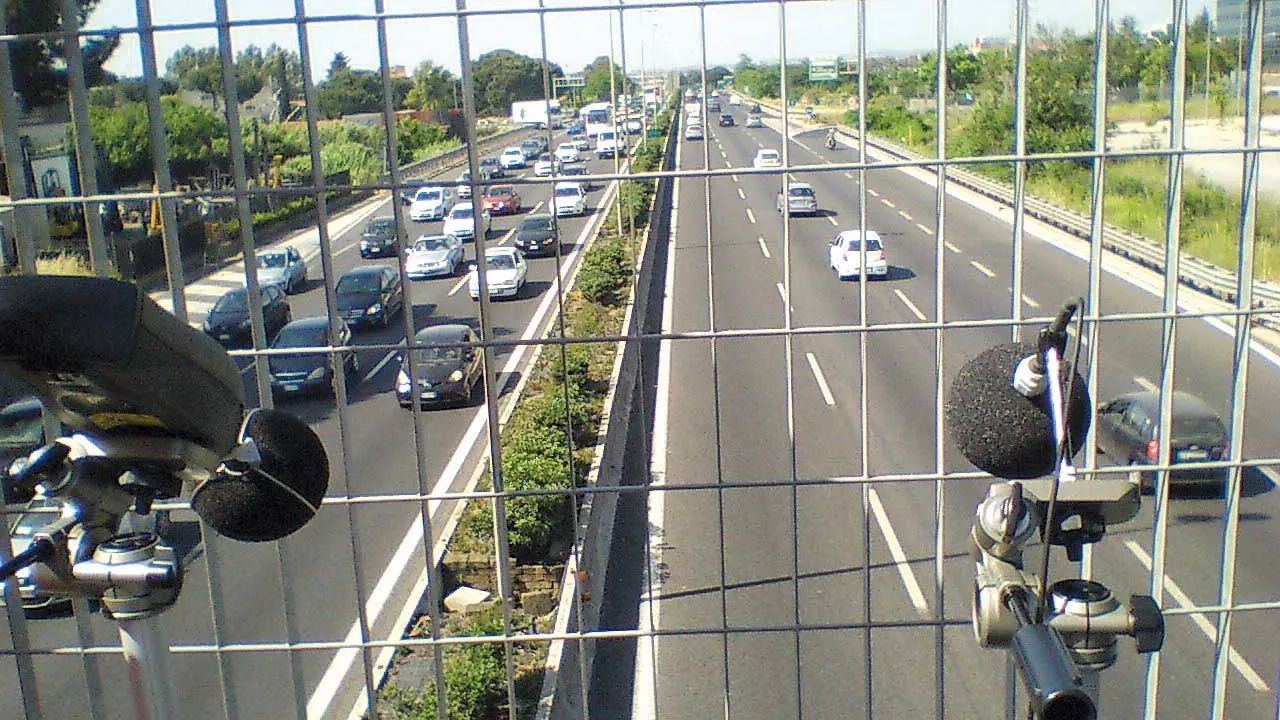
    The world’s best road infrastructure project can also have the world’s worst traffic noise problem. But where to start defeating this noise pollution? Road traffic noise is one of the most obvious aspects affecting the quality of life in urban areas. To combat this, local, national and international authorities have developed initiatives to avoid, prevent or reduce exposure to noise. One of these initiatives – Life DYNAMAP – is underway by a group of researchers in Germany, Spain and Italy. The project is f
  • Big measuring from TinyMobileRobots
    February 27, 2017
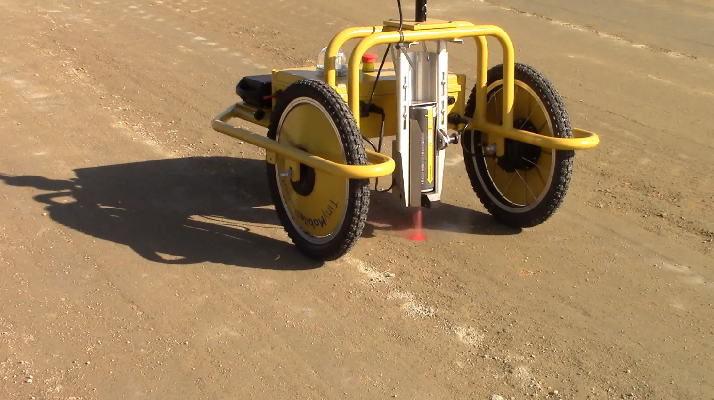
    Small is beautiful, especially when it comes to robots, explains Jens Peder Kristensen, director of Danish company TinyMobileRobots With the increased functionality of outdoor robots, the market for autonomous robots as a replacement for human work has widened. The human touch is still needed when dealing with terrain that is difficult to navigate or with a crowded construction site.
  • Are drones homing in on road construction?
    August 4, 2015
    It may be early days for using drones – unmanned aerial systems (UAS) -- to map construction sites, but technology and legislation are moving in that direction. At the moment drones can fly within only a 500m radius of the ‘pilot’ standing on the ground, making the flight area a 1km diameter. This is the key limiting issue for any sector, especially road construction, says Jonathan Gill, a robotics engineer and a qualified drone pilot for the past seven years. The logic is that a drone remains withi
  • New functionality for infrasfructure design software
    March 20, 2012
    Chris Bradshaw, Autodesk's vice-president for the Infrastructure Solutions division spoke to World Highways. The launch of the fourth version of its Civil 3D design software early this year will see software maker Autodesk getting serious about its road and general civil engineering package. Bigger projects can be handled in the 2008 version, and a range of new functionality is being added. "Though not everything we would like yet," said Chris Bradshaw, Autodesk's vicepresident for the Infrastructure S