Handheld imaging from Leica Geosystems

Leica Geosystems is offering an updated imaging tool in the shape of its latest BLK3D model.
May 21, 2021 Read time: 1 min

The firm says that its new handheld imager now offers twice the operating range of the previous variant. In-picture measurement accuracy has also been improved for indoor and outdoor applications.

Users benefit from new guidance and accuracy indication features that allow them to optimise the capturing process to achieve high measurement accuracy. This is achieved by significantly enhancing BLK3D image processing algorithms alongside workflow adaptation which allows for capturing multi-shots with up to four shots. The BLK3D Update is rolled out with the new BLK3D Mobile and Desktop software version 3.0. BLK3D with Publisher license enables collaboration amongst teams, providing accessibility to 3D images using the cloud. Measurements can be created and shared on mobile devices such as smartphones and tablets across project teams.

The firm says that it designed BLK3D mobile and desktop 3.0 for users starting their journey into digitalisation and digital experts that have already been working in the area for some time. The unit provides increased accuracy, longer range and added functionality, allowing users to make their work more efficient, effective and productive according to the company.

For more information on companies in this article

Related Content

  • Sophisticated slipformer control from Wirtgen
    August 10, 2018
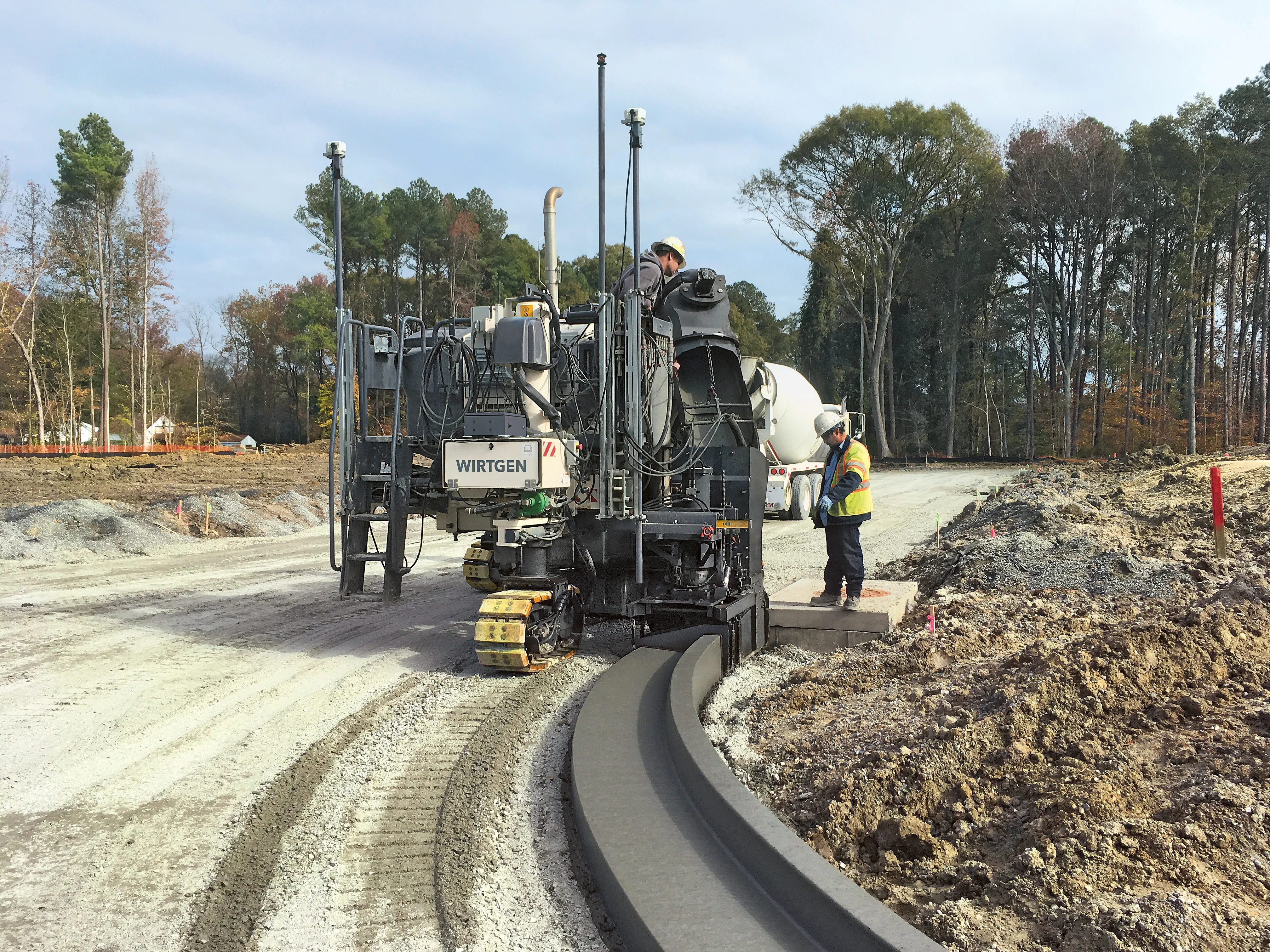
    Wirtgen is now offering a new version of its concrete slipformer control package. This new tool offers additional capabilities and improved performance over the earlier version. The company claims that its upgraded Wirtgen AutoPilot 2.0 package can deliver a higher paving accuracy along with lower costs. Newly-developed, this package is said to produce a wide array of offset and inset profiles, while also delivering these more economically and precisely than with the previous version. The 3D system can eit
  • Topcon and Bentley join forces to model reality
    March 8, 2017
    Topcon Positioning and Bentley Systems are introducing the product of their joint development project at CONEXPO-CON/AGG 2017, a reality modelling software solution.
  • Machine control technology round table discussion with Leica Geosystems, Topcon and Trimble
    January 4, 2022
    In this, the first in a series of top-level roundtable discussions led by World Highways, editor Mike Woof and editorial director Geoff Hadwick talk machine control technology with three world-class experts from Leica Geosystems, part of Hexagon, Topcon and Trimble. Find out what these key opinion leaders are thinking on six vitally important topics. Let them help you stay ahead of the game.
  • Leica Geosystems develops machine control
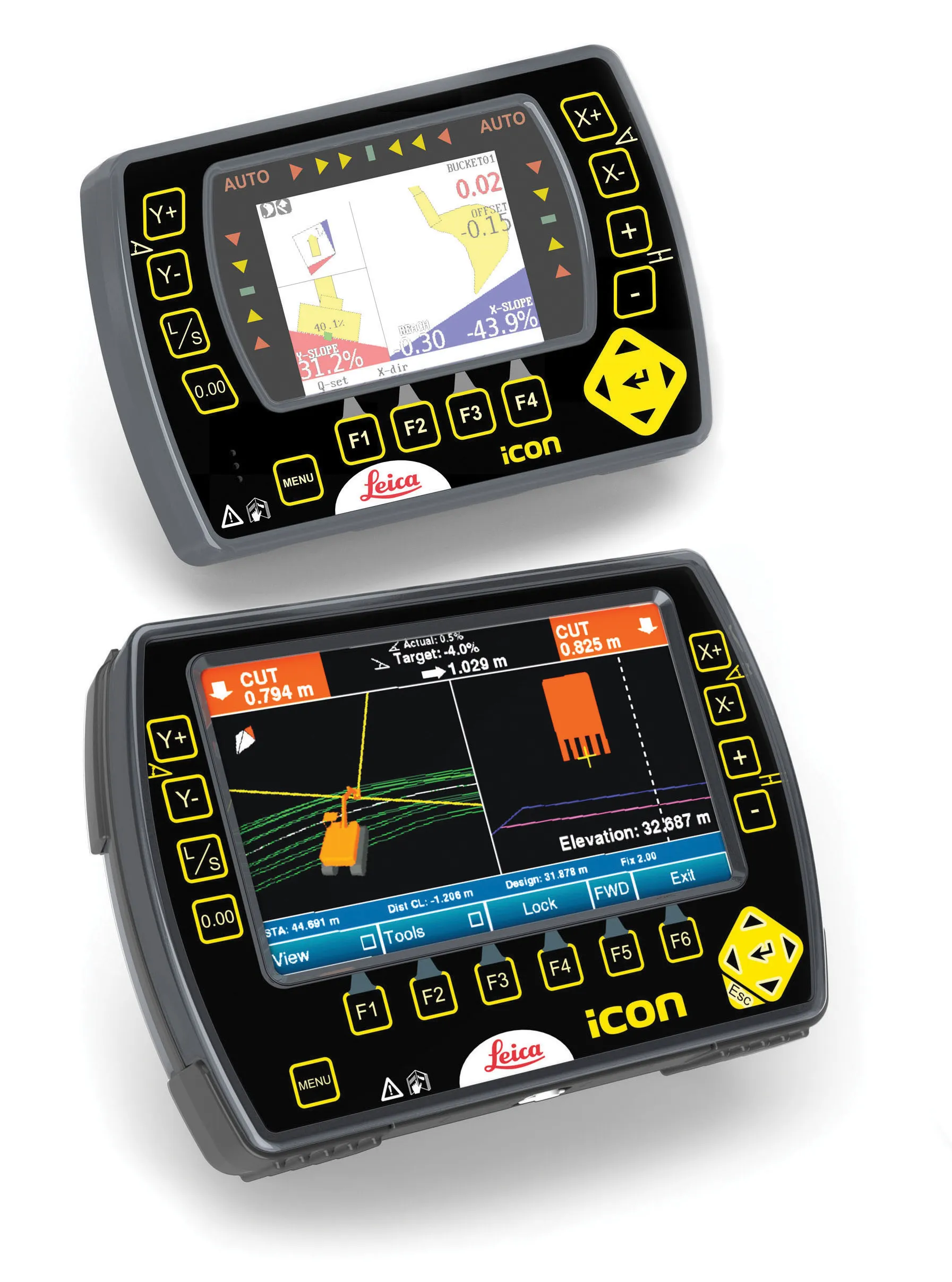
    November 29, 2012
    An array of sophisticated machine control and surveying tools are coming to market from Leica Geosystems. One of the key developments is an addition to its iCON range in the form of its iCONtrol package. The firm says that this offers contractors a portfolio of powerful machine control solutions that can communicate with iCONstruct sensors on site and the iCON office software. This customisable and versatile solution suits use in grading and excavating segment and can be used as a control system for constru