Handheld imaging from Leica Geosystems

Leica Geosystems is offering an updated imaging tool in the shape of its latest BLK3D model.
May 21, 2021 Read time: 1 min

The firm says that its new handheld imager now offers twice the operating range of the previous variant. In-picture measurement accuracy has also been improved for indoor and outdoor applications.

Users benefit from new guidance and accuracy indication features that allow them to optimise the capturing process to achieve high measurement accuracy. This is achieved by significantly enhancing BLK3D image processing algorithms alongside workflow adaptation which allows for capturing multi-shots with up to four shots. The BLK3D Update is rolled out with the new BLK3D Mobile and Desktop software version 3.0. BLK3D with Publisher license enables collaboration amongst teams, providing accessibility to 3D images using the cloud. Measurements can be created and shared on mobile devices such as smartphones and tablets across project teams.

The firm says that it designed BLK3D mobile and desktop 3.0 for users starting their journey into digitalisation and digital experts that have already been working in the area for some time. The unit provides increased accuracy, longer range and added functionality, allowing users to make their work more efficient, effective and productive according to the company.

For more information on companies in this article

Related Content

  • Bentley Systems expanding product range and operations
    March 20, 2019
    Bentley pushes ahead with acquisitions and partnerships Software specialist Bentley Systems is expanding its range of software products both through key acquisitions and in-house developments, as well as developing its partnerships with other firms. Two firms Bentley has bought are UK company Legion (see box) which is a leading provider of advanced pedestrian modelling software. The other acquisiation is the Swedish company Agency9, which offers city-scale digital twin cloud services that will help enabl
  • Topcon’s partnerships
    May 20, 2019
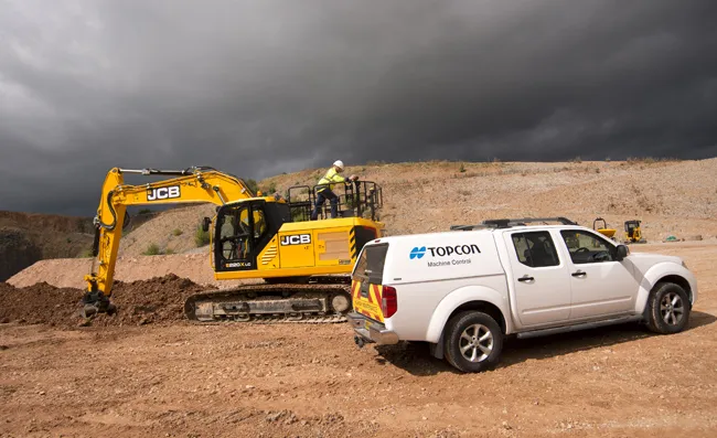
    Topcon has been striking key deals with manufacturers of earthmoving machines to supply machine control packages. The firm has set up arrangements with both JCB and Volvo CE for its sophisticated packages, which will help customers to optimise operations. JCB's new X-Series excavator is now being offered with a sophisticated machine guidance system from Topcon Positioning, which is said to boost productivity by up to 30%. A result of a collaboration between JCB and Topcon Positioning Group, the Topco
  • Machine Control sector is the place for acquisitions
    January 22, 2014
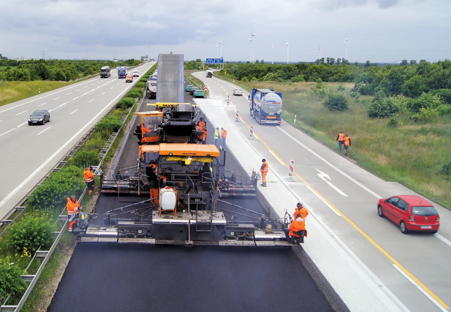
    The machine control sector has been lively in recent months with a major acquisition, the unveiling of new software innovation and landmark testing of new technology to monitor paving temperature. Guy Woodford reports The state road construction authority in the German state of Saxony-Anhalt (LSBB Saxony-Anhalt) has become the first nationally to test MOBA’s new PAVE-IR Scan temperature measurement system at a works site.
  • Rapid adoption of GPS machine control
    April 5, 2012
    The high sophistication of GPS machine control systems has resulted in a fast pace of technological advancement. The three major players in the machine control sector, Leica Geosystems, Topcon and Trimble have all made major gains in recent years. The sophistication of the latest systems can combine satellite position data from the GPS and GLONASS networks with information from total stations to provide precise, high speed machine operation. Further more the firms have also prepared themselves for the intro