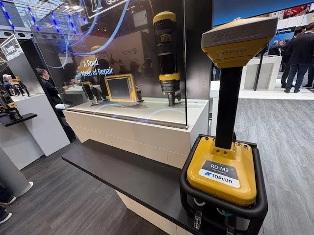
Get highly detailed 3D point road surface data from Topcon’s new RD-M2 scanner

April 11, 2025 Read time: 1 min
The vehicle-mounted downward-facing RD-M2 from Topcon Positioning Systems delivers precise surface conditions over long and complex roads

Topcon Positioning System’s new RD-M2 laser scanner has been purpose-built for road resurfacing applications.

The vehicle-mounted downward-facing RD-M2 delivers precise surface conditions over long and complex roads, which means no road closures are needed.  

Millions of points are collected by the vehicle operator from safety of his or her cab.

The 3D point data from the RD-M2 scanner serves as the basis for detailed road surface designs using the Topcon Office Suite.  

These ground-truth surfaces are a part of the company’s SmoothRide system workflow.

Users can take advantage of Topcon’s intuitive workflow to create their own custom design from the scan or they can integrate a predefined template.  

Users can also align the scan to the local coordinate system with millimetre-level precision, providing complete flexibility for road resurfacing projects.  

For more information on companies in this article

Related Content

  • Machine control technology allows more efficient paving
    March 3, 2015
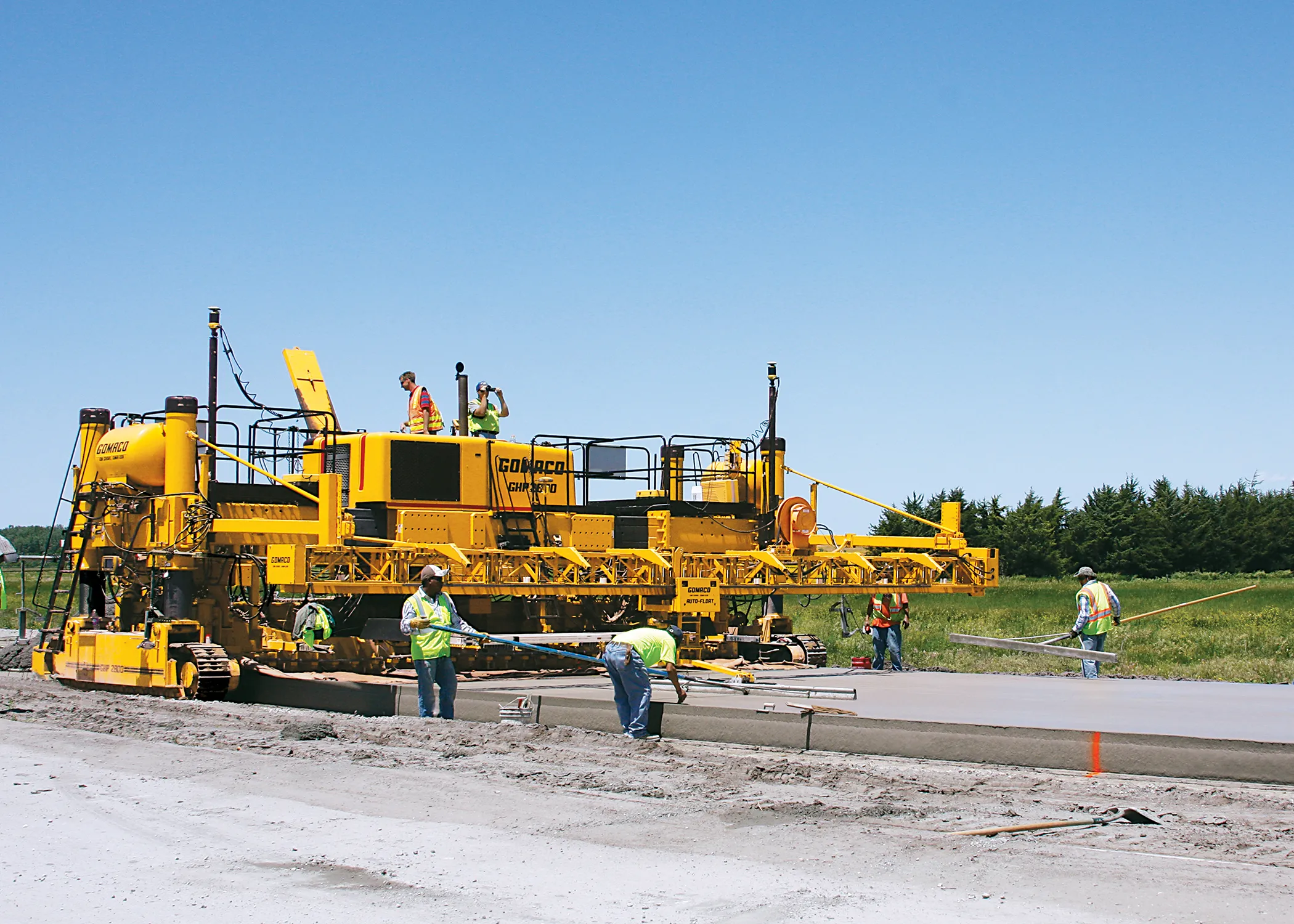
    In the US, a specialist contractor is making savings with new 3D technology for concrete paving. US contractor Gehring Construction is a specialist in concrete paving and is a long-time customer of GOMACO. Having bought its first GOMACO unit in 1973, Gehring has a good deal of experience in this segment. The company is now using some of the latest machine control technology, having bought a Topcon Millimetre GPS 3D stringless system, which has been used on a bypass project around the US city of Colombus. T
  • Highway condition monitoring move
    August 2, 2012
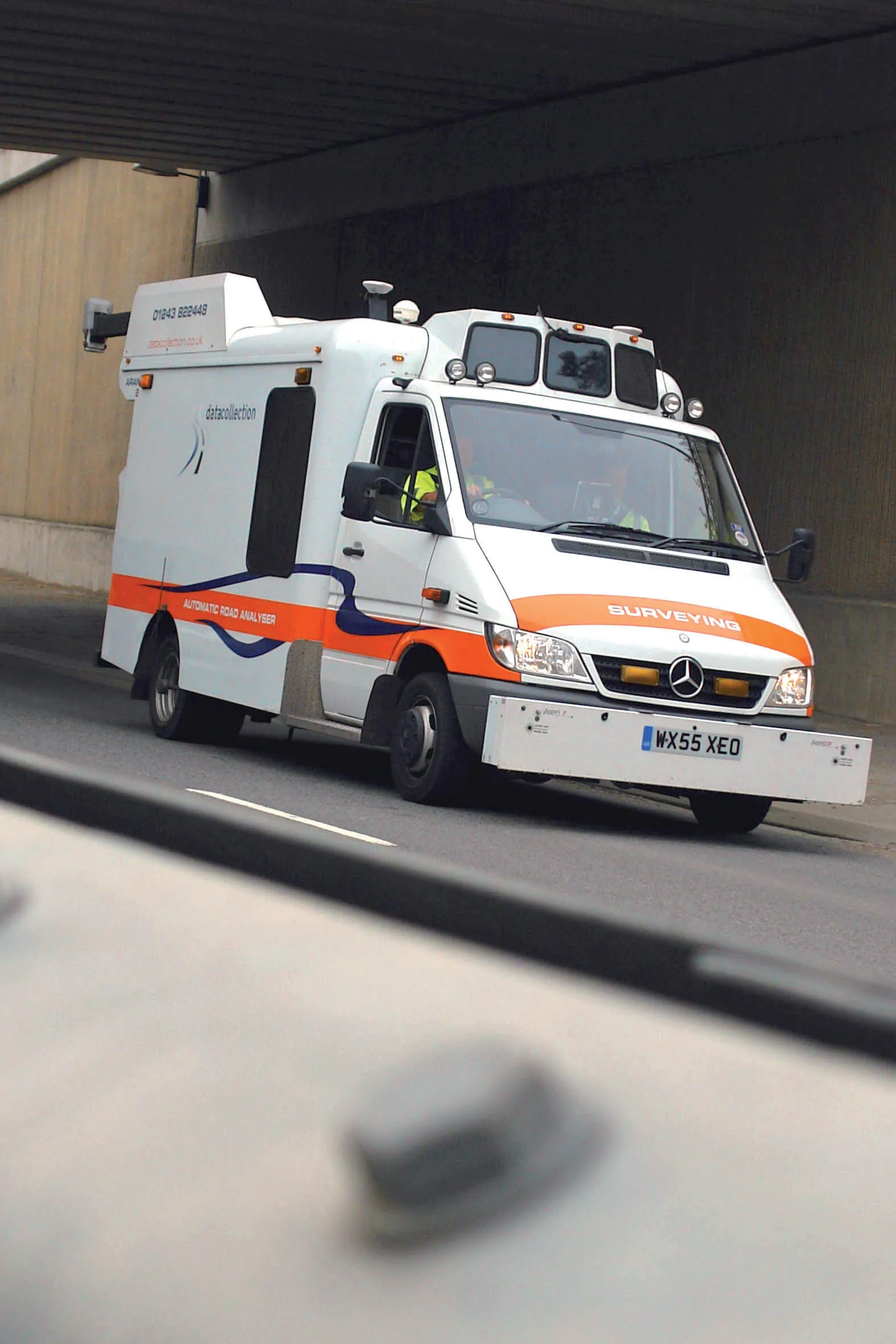
    Geospatial surveying specialist Yotta DCL now has a contract with Southampton City Council for road surface condition monitoring and is using its advanced laser technology. Yotta DCL is surveying 300km of the city's roads using its sophisticated ARAN survey vehicle which uses innovative laser scanning and precision GPS systems. These surveys are operating as part of a UK Government-specified programme called Surface Condition Assessment for the National Network of Roads (SCANNER). This will provide the city
  • Infrastructure stays strong on the road to recovery
    July 1, 2021
    After more than a year of uncertainty, the road industry is coming back stronger than ever before thanks to new ways of working and increased investment – because building new infrastructure lays the foundation for a more resilient and economically robust world.
  • Innovations in machine control deliver efficiency
    November 9, 2020
    How far has machine control technology come and what does the future hold?