Get highly detailed 3D point road surface data from Topcon’s new RD-M2 scanner

April 11, 2025 Read time: 1 min
The vehicle-mounted downward-facing RD-M2 from Topcon Positioning Systems delivers precise surface conditions over long and complex roads

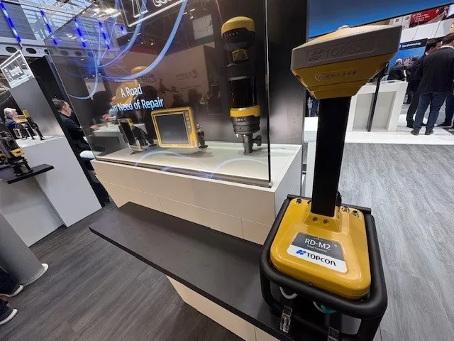
Topcon Positioning System’s new RD-M2 laser scanner has been purpose-built for road resurfacing applications.

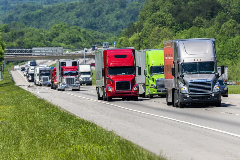
The vehicle-mounted downward-facing RD-M2 delivers precise surface conditions over long and complex roads, which means no road closures are needed.  

Millions of points are collected by the vehicle operator from safety of his or her cab.

The 3D point data from the RD-M2 scanner serves as the basis for detailed road surface designs using the Topcon Office Suite.  

These ground-truth surfaces are a part of the company’s SmoothRide system workflow.

Users can take advantage of Topcon’s intuitive workflow to create their own custom design from the scan or they can integrate a predefined template.  

Users can also align the scan to the local coordinate system with millimetre-level precision, providing complete flexibility for road resurfacing projects.  

For more information on companies in this article

Related Content

  • New industry developments push boundaries of machine control
    May 22, 2014
    A series of innovations in machine control or automation technologies are helping transform the construction industry - Mike Woof writes Equipment manufacturer have made huge advances in machine performance, delivering new models that offer increased capabilities and productivity, while using less fuel. Reliability and uptime too have been improved, with the development of equipment that can forestall unplanned downtime by telling the user when it will require service attention. Meanwhile new engines delive
  • Topcon and Bentley join forces to model reality
    March 8, 2017
    Topcon Positioning and Bentley Systems are introducing the product of their joint development project at CONEXPO-CON/AGG 2017, a reality modelling software solution.
  • Mobile mapping innovation
    June 1, 2022
    There are millions of kilometres of roads and features that need to be mapped in today’s world. We see a strong vision and application for the future, therefore Leica Geosystems, part of Hexagon, recently announced the introduction of the reality capture mobile mapping system Leica Pegasus TRK, introducing artificial intelligence, autonomous workflows and intuitive interfaces. This technology goes beyond the capabilities of what’s already been done, making it the perfect companion for today’s mobile mapping requirements.
  • WiM eases bridge health worries
    July 31, 2024
    Ageing road bridges are leading road authorities to consider the case for using weigh-in-motion - WiM - solutions to monitor the health of such infrastructure, writes Adam Hill.