Faster surveying with Leica Geosystems

Leica Geosystems says that the new LS15 tool can be used to complete all the key stages for levelling. The system has a high accuracy of 0.2mm, which can be achieved by aiming at the target via the colour touch display and pressing the measuring button. Key working features include an electronic bubble and tilt checks prior to each measurement and autofocus. These are said to help to reduce fatigue over a shift and help minimise the risk of working errors, ensuring consistently high accuracy of measureme
June 16, 2016 Read time: 2 mins
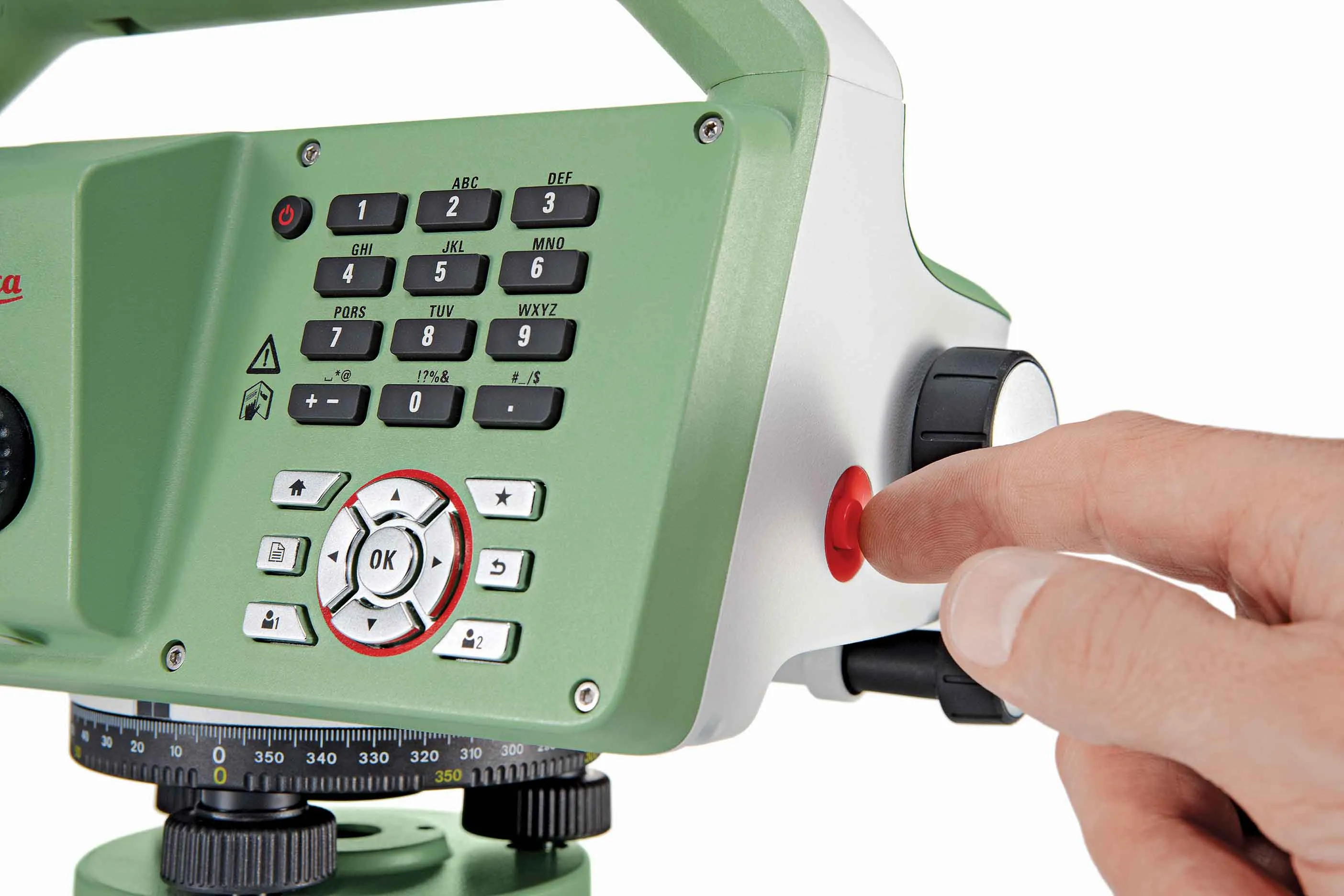
The new tool from Leica Geosystems helps boost surveying efficiency
265 Leica Geosystems says that the new LS15 tool can be used to complete all the key stages for levelling. The system has a high accuracy of 0.2mm, which can be achieved by aiming at the target via the colour touch display and pressing the measuring button.

Key working features include an electronic bubble and tilt checks prior to each measurement and autofocus. These are said to help to reduce fatigue over a shift and help minimise the risk of working errors, ensuring consistently high accuracy of measurement.

The firm says that the LS15 is the only level on the market equipped with a camera and this allows target staffs to be sighted faster. Users locate the staff on the camera touch display and then press the measuring button to record the staff reading and measurement values.

The unit’s USB and Bluetooth interface allow enable fast data transfer, while the Leica Infinity software package can process complex levelling data in the office. Users can combine tables with graphics or cross check key project information in one program window, providing access to all data, results and deliverables.

For more information on companies in this article

Related Content

  • Leica Geosystems’ tools for site monitoring and handling GPR data
    October 11, 2017
    Leica Geosystems is offering new tools for construction firms for remote monitoring and for handling data from ground penetrating radar. With the GeoMoS Imaging package, users can stay up-to-date on remote monitoring; the live view allows observation and recording of areas of interest. A joystick provides remote access to the total station so that personnel can increase productivity and reduce time in the field.
  • Leica Cyclone teams up with NCTech’s iSTAR camera database
    January 19, 2016
    Users of Leica Cyclone, a 3D point cloud processing software, can now automatically import and align high-dynamic range (HDR) data from NCTech’s iSTAR camera database. The result is enhanced images delivered faster and easier, according to both companies. “It is also the accuracy to which these images fit the 3D point cloud data that is paramount. NCTech’s iSTAR camera produces high-quality HDR imaging at the accuracy everyone expects,” said Faheem Khan, vice president, business development for Leica Geosys
  • Innovation in road design and management software
    February 17, 2012
    The emphasis on data processing and re-use, continues to grow in the development of design and management software. The interoperability of software, the need to handle and process larger amounts of data, and re-use and retention of data sets from one task to another have been a growing emphasis in the past few years. It allows infrastructure companies to get better value from expensively collected information and to focus more on the whole life cycle of projects.
  • Paving Control Platform from Trimble
    May 27, 2022
    Users of Trimble’s Roadworks Paving Control Platform can transfer 3D designs wirelessly from the office to the machine.