Faster surveying with Leica Geosystems

Leica Geosystems says that the new LS15 tool can be used to complete all the key stages for levelling. The system has a high accuracy of 0.2mm, which can be achieved by aiming at the target via the colour touch display and pressing the measuring button. Key working features include an electronic bubble and tilt checks prior to each measurement and autofocus. These are said to help to reduce fatigue over a shift and help minimise the risk of working errors, ensuring consistently high accuracy of measureme
June 16, 2016 Read time: 2 mins
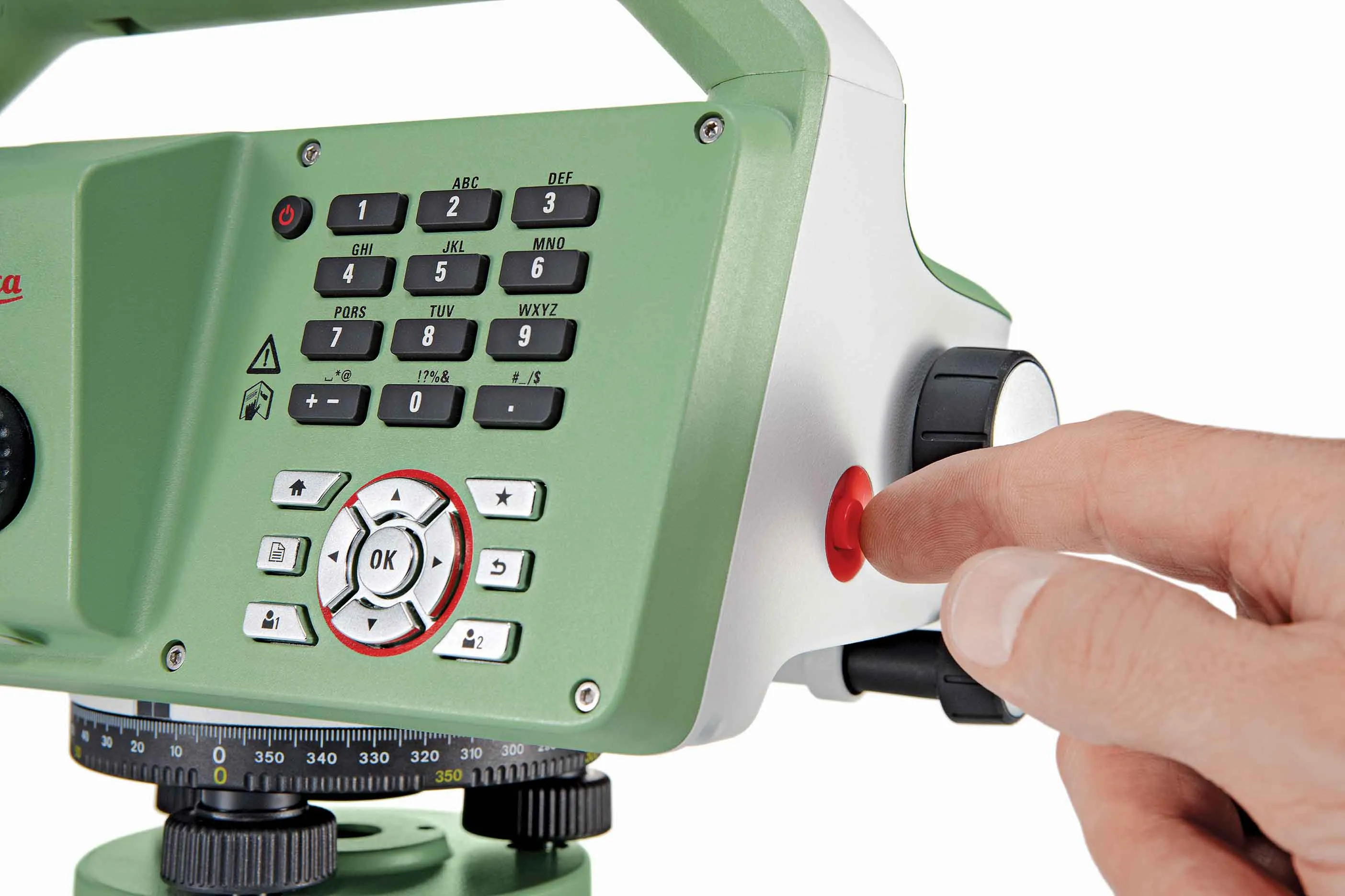
The new tool from Leica Geosystems helps boost surveying efficiency
265 Leica Geosystems says that the new LS15 tool can be used to complete all the key stages for levelling. The system has a high accuracy of 0.2mm, which can be achieved by aiming at the target via the colour touch display and pressing the measuring button.

Key working features include an electronic bubble and tilt checks prior to each measurement and autofocus. These are said to help to reduce fatigue over a shift and help minimise the risk of working errors, ensuring consistently high accuracy of measurement.

The firm says that the LS15 is the only level on the market equipped with a camera and this allows target staffs to be sighted faster. Users locate the staff on the camera touch display and then press the measuring button to record the staff reading and measurement values.

The unit’s USB and Bluetooth interface allow enable fast data transfer, while the Leica Infinity software package can process complex levelling data in the office. Users can combine tables with graphics or cross check key project information in one program window, providing access to all data, results and deliverables.

For more information on companies in this article

Related Content

  • New surveying tool from Topcon
    January 12, 2021
    Topcon Positioning Group is introducing its top-of-the-range GT Series robotic total stations for survey, construction, and machine control applications.
  • Leica’s new Digicat xf-Series cable locators and transmitters
    January 6, 2017
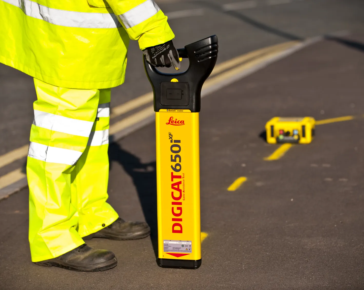
    Leica Geosystems has launched the latest editions to the Digisystem product range: the Leica Digicat xf-Series. With Leica Geosystems’ new xf-Series cable locators and transmitters, users are said to be able to accurately detect and trace utilities faster and over a greater distance. The Leica Digicat xf-Series is said by the Swiss firm to have been specifically designed with long distance tracing in mind. The ability to trace transmitter frequencies of 512Hz and 640Hz provides users with a greater tracing r
  • Leica’s new Digicat xf-Series cable locators and transmitters
    January 30, 2013
    Leica Geosystems has launched the latest editions to the Digisystem product range: the Leica Digicat xf-Series. With Leica Geosystems’ new xf-Series cable locators and transmitters, users are said to be able to accurately detect and trace utilities faster and over a greater distance. The Leica Digicat xf-Series is said by the Swiss firm to have been specifically designed with long distance tracing in mind. The ability to trace transmitter frequencies of 512Hz and 640Hz provides users with a greater tracing r
  • Precision pinpointing
    March 1, 2012
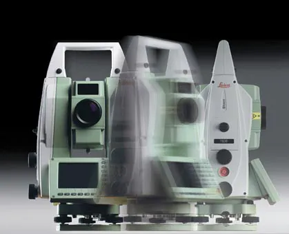
    Leica Geosystems says that its TS30 package is a new high precision Total Station that meets highest standards in all surveying applications. Distances can now be measured with Leica Geosystems' proven PinPoint EDM Technology with an unprecedented precision of 0.6mm + 1ppm on prisms. On natural surfaces a high accuracy of 2mm + 2ppm up to 1,000m can be achieved.