Faster surveying with Leica Geosystems

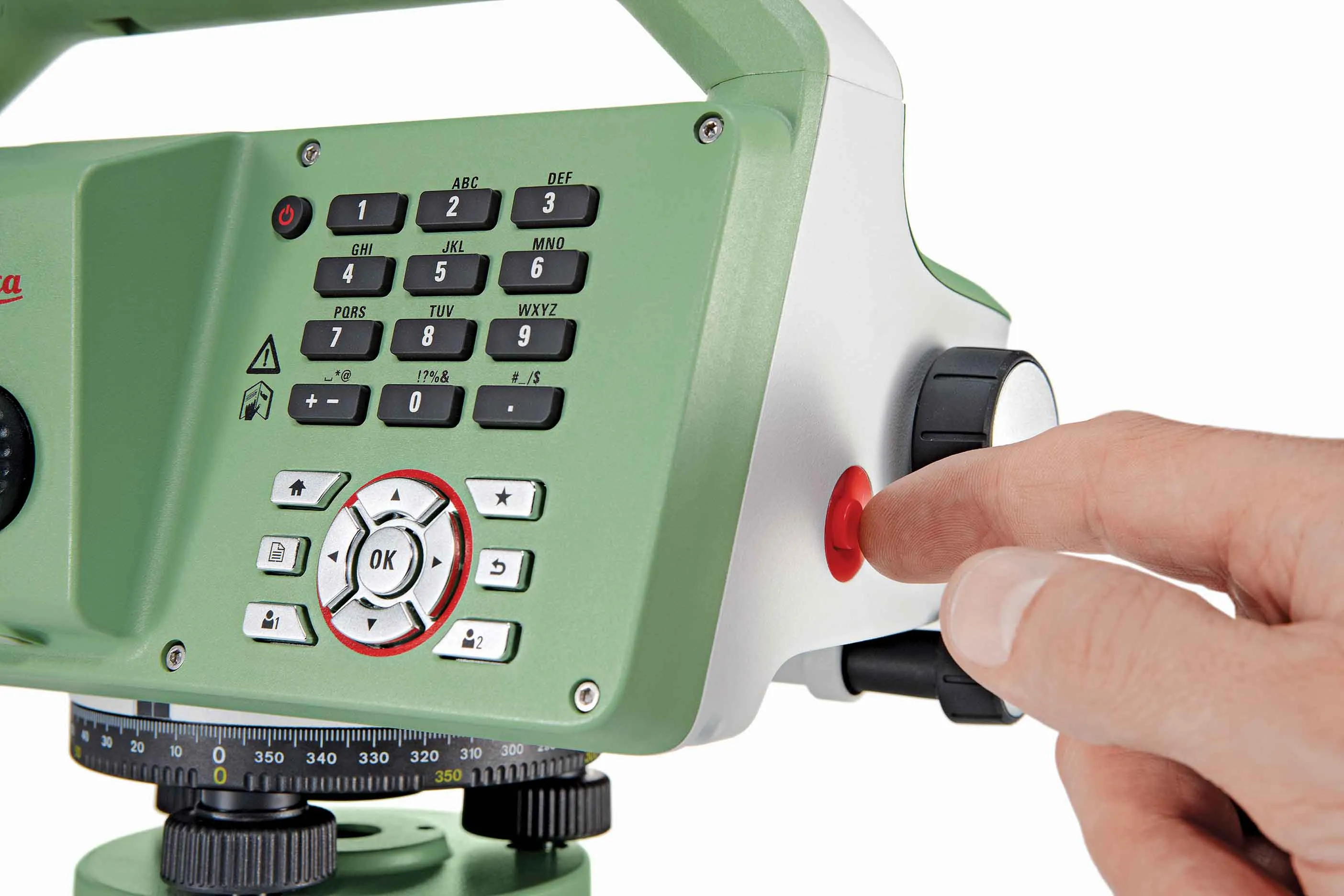
Leica Geosystems says that the new LS15 tool can be used to complete all the key stages for levelling. The system has a high accuracy of 0.2mm, which can be achieved by aiming at the target via the colour touch display and pressing the measuring button. Key working features include an electronic bubble and tilt checks prior to each measurement and autofocus. These are said to help to reduce fatigue over a shift and help minimise the risk of working errors, ensuring consistently high accuracy of measureme
June 16, 2016 Read time: 2 mins
The new tool from Leica Geosystems helps boost surveying efficiency
265 Leica Geosystems says that the new LS15 tool can be used to complete all the key stages for levelling. The system has a high accuracy of 0.2mm, which can be achieved by aiming at the target via the colour touch display and pressing the measuring button.

Key working features include an electronic bubble and tilt checks prior to each measurement and autofocus. These are said to help to reduce fatigue over a shift and help minimise the risk of working errors, ensuring consistently high accuracy of measurement.

The firm says that the LS15 is the only level on the market equipped with a camera and this allows target staffs to be sighted faster. Users locate the staff on the camera touch display and then press the measuring button to record the staff reading and measurement values.

The unit’s USB and Bluetooth interface allow enable fast data transfer, while the Leica Infinity software package can process complex levelling data in the office. Users can combine tables with graphics or cross check key project information in one program window, providing access to all data, results and deliverables.

For more information on companies in this article

Related Content

  • BOMAG’s smart asphalt compaction technology in use
    May 25, 2016
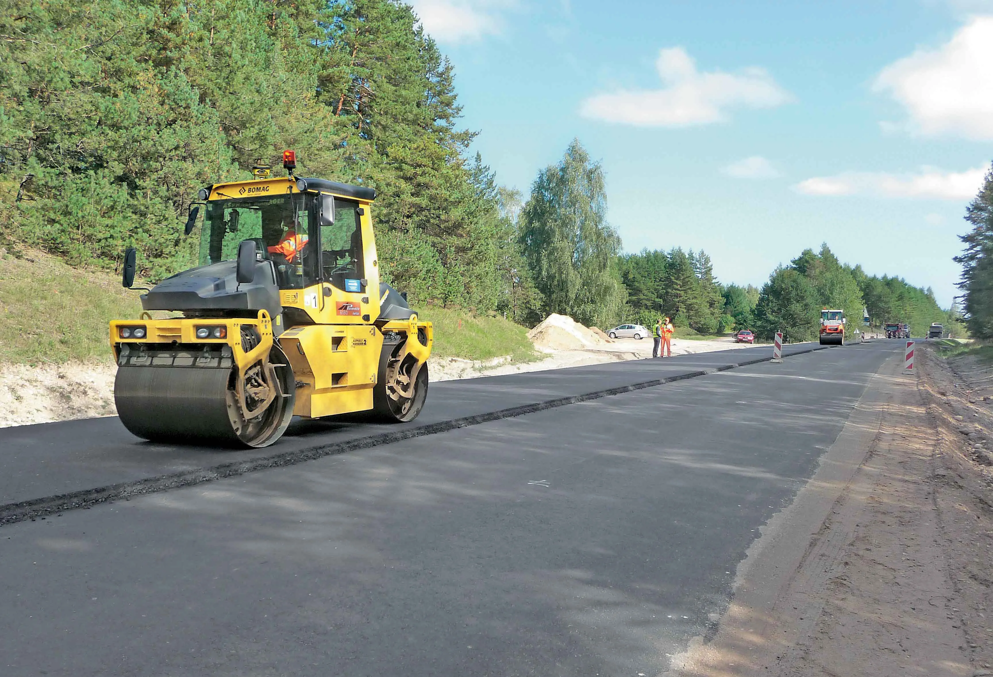
    BOMAG’s highly sophisticated compaction control technology is now being used successfully on the highway project to link Warsaw with St Petersburg. The system is being employed in the rural area around the border triangle of Lithuania, Latvia and Belarus. Lithuanian road contractor Panevezio Keliai won the package of works to upgrade a stretch of the E262 in Zarasai. The project requires high quality as the E262 route links Warsaw with St Petersburg and carries a large volume of traffic, including a hig
  • Optimising operations with construction software gains
    May 20, 2015
    Innovations in construction software are helping boost project efficiency and optimising project operations – Clive Davidson writes Over the past decade, while construction engineers have been putting up buildings or infrastructure, software engineers have been developing a parallel universe where virtual buildings or infrastructure can be created in ever increasing detail. What started with 2D architectural drawings in computer-aided design (CAD) systems, has become a multi-dimensional world, with 3D ge
  • Efficient Load Out: the digital solution revolutionising mass excavation projects
    November 15, 2021
    Staying connected to customers and colleagues has never been more important and over the last two years, adoption of innovative technologies that enable this has accelerated in businesses in every sector around the world. And for Volvo Construction Equipment, the construction site is no different. Efficient Load Out is a digital solution which connects machine operators, truck drivers and site managers in real-time to maximise the profitability and sustainability of mass excavation projects
  • MOBA's advanced positioning systems
    November 15, 2012
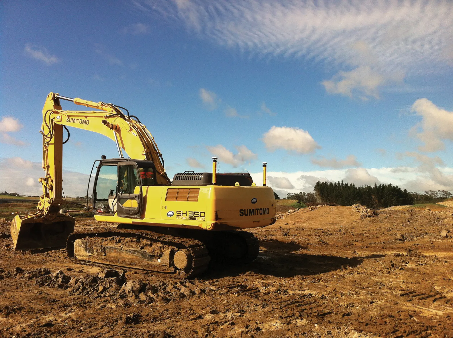
    MOBA Mobile Automation says it now offers excavator control systems for a range of requirements, with the introduction of its Easy Dig basic system, the LINK expansion stage and the high-end Vision 3D version. The new Easy Dig package is said to provide an affordable and easy-to-install excavator control system that measures depth, incline angle and range. Target and actual values are compared and displayed in real-time on the screen. The LINK offers a combination of 2D and 3D functions and is the most in