Faster surveying with Leica Geosystems

Leica Geosystems says that the new LS15 tool can be used to complete all the key stages for levelling. The system has a high accuracy of 0.2mm, which can be achieved by aiming at the target via the colour touch display and pressing the measuring button. Key working features include an electronic bubble and tilt checks prior to each measurement and autofocus. These are said to help to reduce fatigue over a shift and help minimise the risk of working errors, ensuring consistently high accuracy of measureme
June 16, 2016 Read time: 2 mins
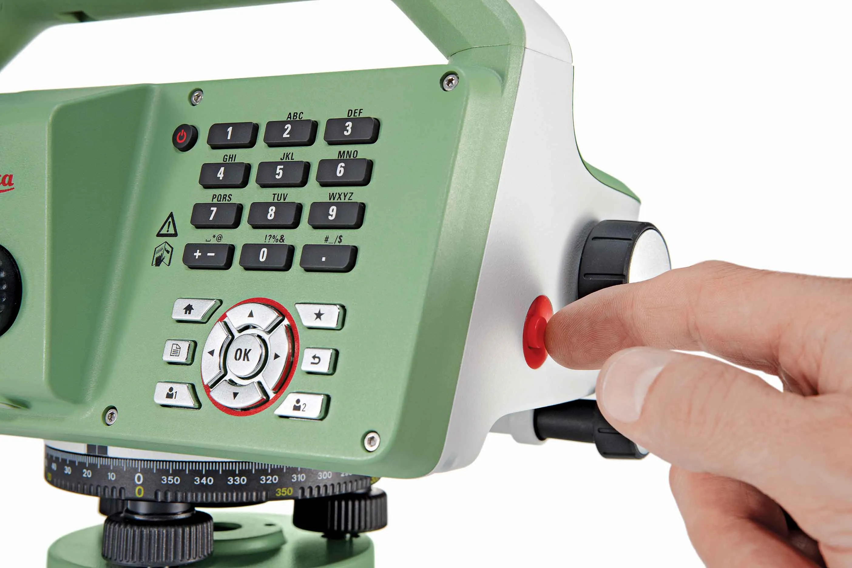
The new tool from Leica Geosystems helps boost surveying efficiency
265 Leica Geosystems says that the new LS15 tool can be used to complete all the key stages for levelling. The system has a high accuracy of 0.2mm, which can be achieved by aiming at the target via the colour touch display and pressing the measuring button.

Key working features include an electronic bubble and tilt checks prior to each measurement and autofocus. These are said to help to reduce fatigue over a shift and help minimise the risk of working errors, ensuring consistently high accuracy of measurement.

The firm says that the LS15 is the only level on the market equipped with a camera and this allows target staffs to be sighted faster. Users locate the staff on the camera touch display and then press the measuring button to record the staff reading and measurement values.

The unit’s USB and Bluetooth interface allow enable fast data transfer, while the Leica Infinity software package can process complex levelling data in the office. Users can combine tables with graphics or cross check key project information in one program window, providing access to all data, results and deliverables.

For more information on companies in this article

Related Content

  • Soil compaction innovation
    February 19, 2021
    Machine control on soil compaction machinery is playing an important role in the construction of a new road in Sweden
  • Surveying offering
    July 4, 2012
    Leica Geosystems is broadening its surveying range with the introduction of three aluminium construction tripods. The two mid-range tripods, the CTP104 and CTP104D, can cope with tough conditions on site and are designed for use with Leica Geosystems levels, lasers and construction theodolites. Both employ quick-release clamps for fast stable setups. The high specification CET103 elevating tripod has an adjustable column with 300mm crank stroke and an additional telescope column for 660mm extension. Minimum
  • Improved survey data handling
    August 2, 2012
    Leica Geosystems says that its Leica MobileMatriX v3.0 package can be used to synchronise survey data with an enterprise geodatabase, transfer digital images taken from a mobile phone via Bluetooth and link it with a feature, in addition to many other improvements. The firms says that its MobileMatriX v3.0 package offers a flexible and powerful mobile GIS application and can be used in both large projects and small projects involving only a few field crews. Survey data can be replicated within the editing p
  • Tunnelling with Atlas Copco's HPT
    February 6, 2012
    Atlas Copco claims that its high precision tunnelling (HPT) system will offer greater productivity and reduced costs in drill and blast tunnelling operations. The HPT system is a package with five options for use on drill rigs and other types of construction equipment. Advanced PC-based software allows a worksite office to provide operational support to Atlas Copco rigs equipped with the Rig Control System (RCS). The Tunnel Manager system can help plan, store and evaluate data for the drilling process. This