Fast laser scanning from Hexagon

Hexagon says that its next-generation Leica BLK360 laser scanner offers precise and accurate scanning operations.
June 19, 2023 Read time: 1 min
© Lapandr | Dreamstime.com

According to the firm, the new BLK360 creates photorealistic, accurate digital twins within just 20 seconds. Like its predecessor, the new BLK360 can introduce reality capture to new industries and markets due to its speed, portability, and ease of use. The new BLK360 is said to be an ideal sensor for any application requiring fast, up-to-date scanning, such as digital construction and building life cycle monitoring. It enables users to move quickly about any environment without interruption, viewing and sharing the data during the capture process to provide real-time access to updated digital twins. The BLK360 is said to boost Hexagon’s portfolio of sensor-software systems. These can generate Smart Digital Realities by merging digital and physical worlds in real time. Combined, the new scanning and imaging technologies onboard the BLK360 enable fast and accurate reality capture workflows. BLK360 data can be automatically uploaded to HxDR, Hexagon’s cloud-based reality capture platform where users can build their own Smart Digital Realities.

For more information on companies in this article

Related Content

  • Funding the green construction pipeline: Lessons from a technology expert
    January 6, 2025
    Funding the green construction pipeline – with lessons from a technology expert
  • Accurate deformation monitoring from Leica Geosystems
    March 7, 2017
    Leica Geosystems is now offering a sophisticated tool that allows engineers to measure deformation accurately. The Leica GeoMoS Now! Survey Edition is a service for monitoring and managing 3D deformation of points of potentially unstable areas for surveying projects. It has a streamlined workflow and can deliver monitoring reports of man-made structures or natural dangers to smart devices. Surveyors can use this to upload coordinates, process and visualise deformations, allowing other users to access result
  • Topcon announces increased 3D scanning integration with Autodesk
    August 17, 2015
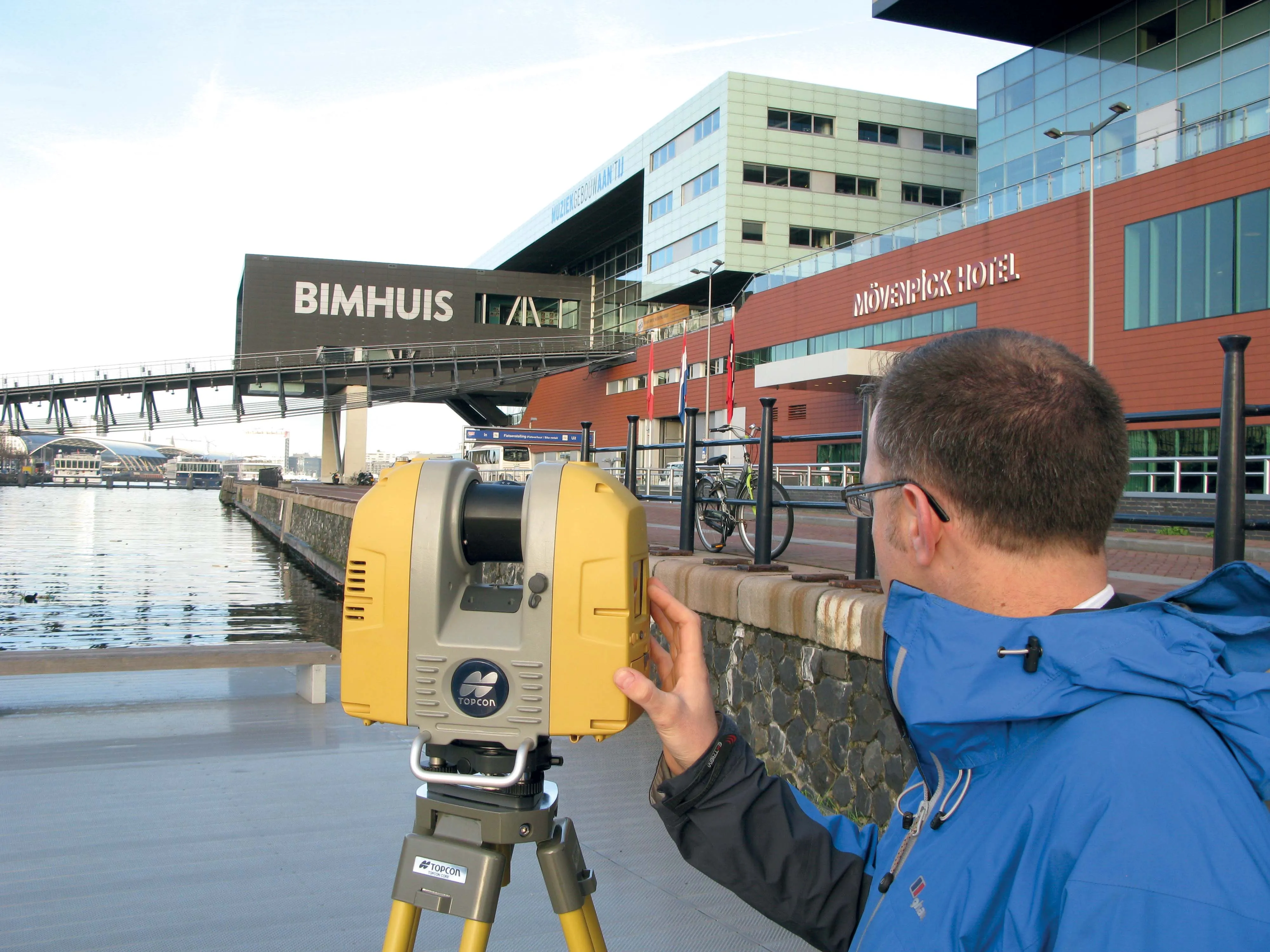
    Topcon Positioning Group says it has improved workflow compatibility for the GLS-2000 3D laser scanner and ScanMaster software with Autodesk solutions. With the latest version of Autodesk ReCap, the GLS-2000 pairs with Topcon ScanMaster software to collect, process, edit and deliver 3D point cloud data from a laser scanner. ReCap allows users to perform tasks such as scan conversion, editing and viewing point cloud data. It also provides integration with Autodesk’s portfolio of design software. Aut
  • Asphalt paving technology advance
    October 26, 2021
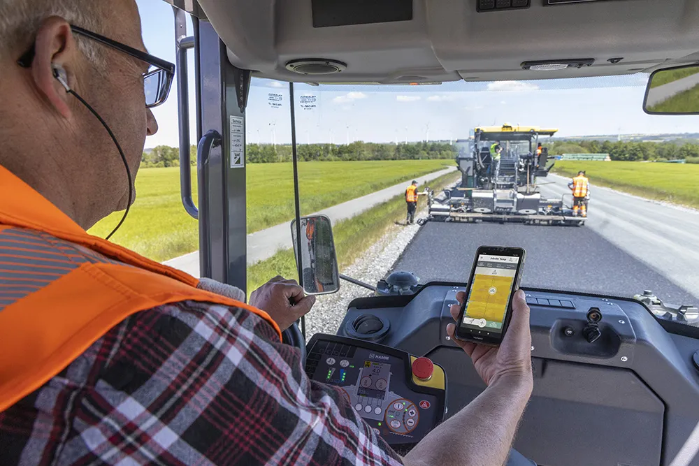
    Vögele is expanding its offering for digital road construction solutions with the introduction of new functions in its WITOS Paving Docu and WITOS Paving Plus packages