
Construction collaboration with Trimble

Trimble is introducing a new version of its Quadri cloud-based BIM server and collaboration platform. The firm says that this solution offers an innovative common data environment platform for infrastructure projects to the European market.
August 3, 2020 Read time: 2 mins
The new Quadri package provides a new collaboration tool for users

Quadri now supports both open formats and third-party software in a bi-directional workflow. Planners, designers and contractors can use their preferred engineering software and work in a shared, live project model. The open formats software also allows project owners to check up on their project through the same model. All changes in a project are tracked including change history. Quadri is now offered as a software-as-a-service solution for model and issue management, bundled with Trimble’s file data management system, Trimble Connect.

Quadri has been redesigned with new tools. It is now offered a software as a service solution. It has support for even open standards, Quadri Extensions with supported API’s and Quadri Connectors for open collaboration. And it is now available in a bundle together with the file data management system, Trimble Connect.

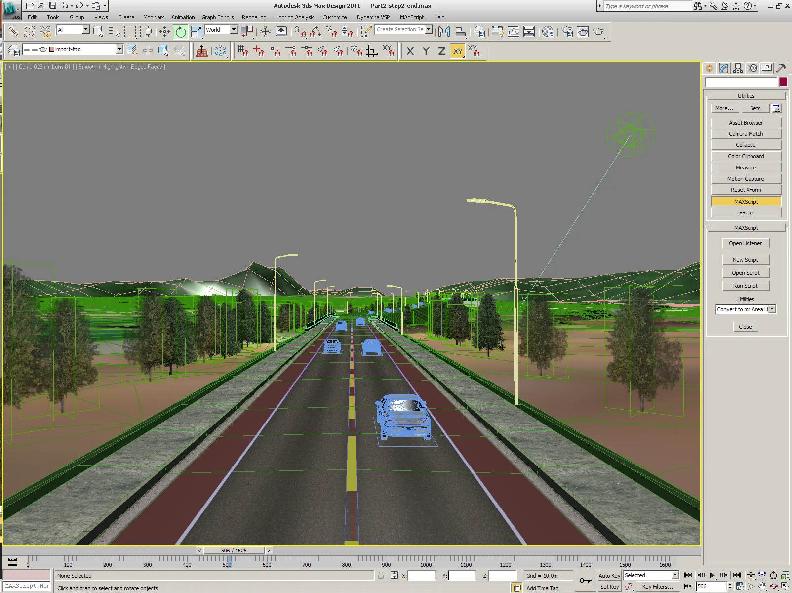
This open collaboration platform suits use with infrastructure projects such as roads. Together with Trimble Connect, Quadri enables its users to work in a centrally shared multi-user BIM server, integrated with easy to use file data management. The common data environment platform gives the customer access to information and documentation to all participants in a project. The combination of Quadri and Trimble Connect gives the customers model and issue management file data management in one package.

For more information on companies in this article

Related Content

  • Precision narrows the gap between design software and GIS
    March 20, 2012
    Greater precision is helping blur the boundaries between GIS technology and design software While GIS map based technology has extended its range across an ever more universal spectrum of uses in the highways sector, it is increasingly showing weaknesses for engineering purposes. It is very often not accurate enough. This has not mattered previously because the GIS tool has been seen essentially as an automated version of paper based systems from the design department's point of view. Where engineers
  • Bentley’s OpenRoads Designer CONNECT Edition Advances Roadway Projects
    November 15, 2016
    OpenRoads’ Comprehensive Modeling Environment Leverages BIM Advancements to Empower Project Delivery LONDON – The Year in Infrastructure 2016 Conference – 1 November 2016 – Bentley Systems, Incorporated, a leading global provider of comprehensive software solutions for advancing infrastructure, today announced that OpenRoads Designer CONNECT Edition will be available for Early Access on December 1, 2016.
  • Innovation in road design and management software
    February 17, 2012
    The emphasis on data processing and re-use, continues to grow in the development of design and management software. The interoperability of software, the need to handle and process larger amounts of data, and re-use and retention of data sets from one task to another have been a growing emphasis in the past few years. It allows infrastructure companies to get better value from expensively collected information and to focus more on the whole life cycle of projects.
  • Smarter software from Trimble
    May 8, 2019
    Trimble has introduced version 5.0 of Trimble Business Center. This merges two products, Trimble Business Center and Business Center - HCE, to provide surveying and civil construction customers with a complete office software solution. The combined software enables data interoperability between survey and construction workflows for more efficiency, time savings and data quality. The firm says that the package simplifies workflows and licensing for its customers, saving them time and money by providing a