Construction collaboration with Trimble

Trimble is introducing a new version of its Quadri cloud-based BIM server and collaboration platform. The firm says that this solution offers an innovative common data environment platform for infrastructure projects to the European market.
August 3, 2020 Read time: 2 mins
The new Quadri package provides a new collaboration tool for users

Quadri now supports both open formats and third-party software in a bi-directional workflow. Planners, designers and contractors can use their preferred engineering software and work in a shared, live project model. The open formats software also allows project owners to check up on their project through the same model. All changes in a project are tracked including change history. Quadri is now offered as a software-as-a-service solution for model and issue management, bundled with Trimble’s file data management system, Trimble Connect.

Quadri has been redesigned with new tools. It is now offered a software as a service solution. It has support for even open standards, Quadri Extensions with supported API’s and Quadri Connectors for open collaboration. And it is now available in a bundle together with the file data management system, Trimble Connect.

This open collaboration platform suits use with infrastructure projects such as roads. Together with Trimble Connect, Quadri enables its users to work in a centrally shared multi-user BIM server, integrated with easy to use file data management. The common data environment platform gives the customer access to information and documentation to all participants in a project. The combination of Quadri and Trimble Connect gives the customers model and issue management file data management in one package.

For more information on companies in this article

Related Content

  • Yotta upgrades asset management package
    May 19, 2015
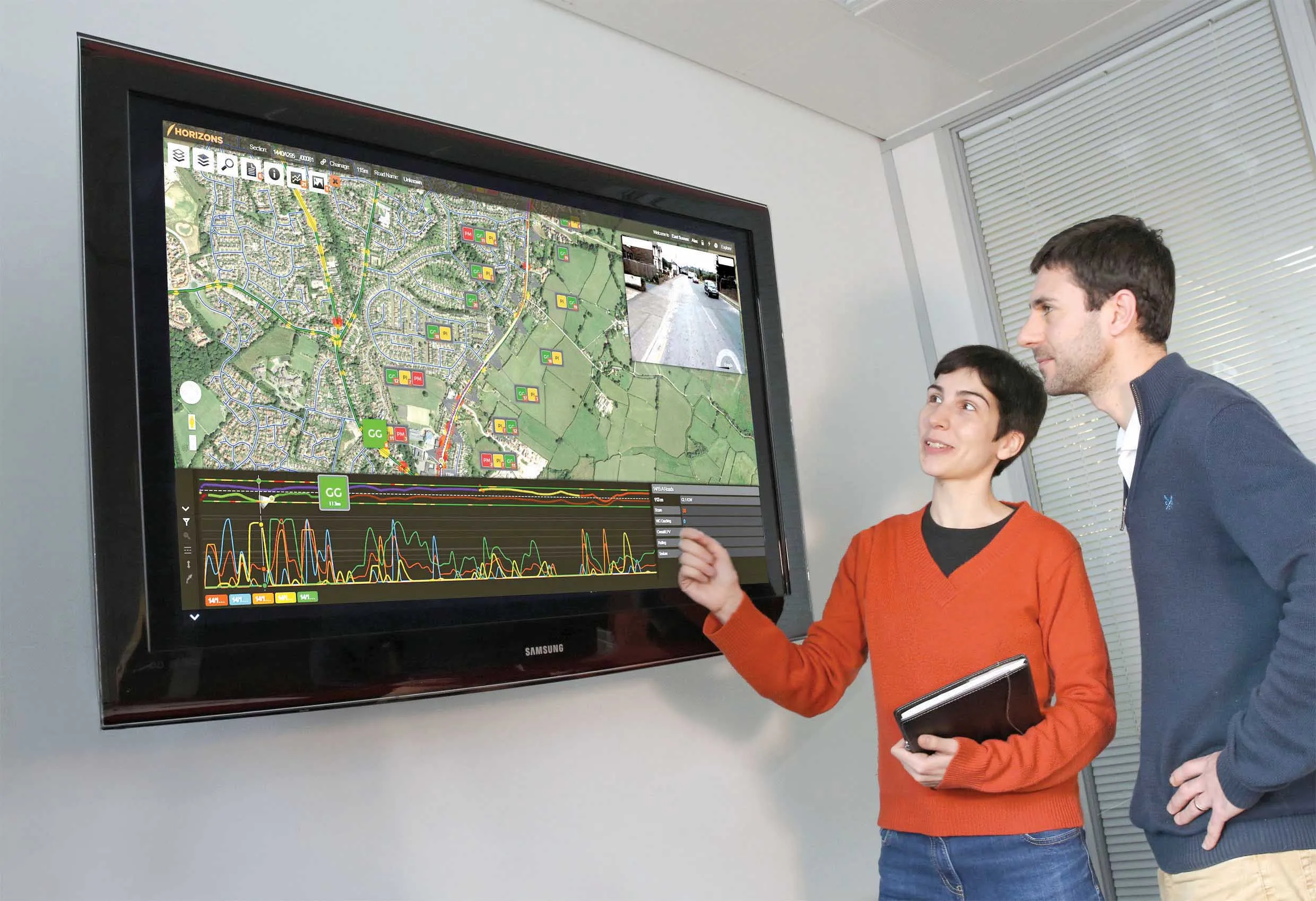
    Yotta is now offering the latest version of its Horizons visualised asset management platform. Version 2.6 of the package is said to provide a better user experience with improved visualisation. The latest version of the cloud-based solution also offers improved transparency with upgraded reporting providing clear and auditable work trails. Users of Horizons 2.6 can now directly link documents and images in Horizons, improving access to detailed information about a specific asset through the use of phot
  • Software collaboration between Autodesk and Leica Geosystems
    October 8, 2019
    Leica Geosystems has announced further cooperation with Autodesk to streamline construction documentation.
  • Ontario opts for Power InRoads design tools
    June 12, 2012
    One of Canada's largest provinces, Ontario, has decided to go with the latest Power InRoads suite of design tools now being offered by Bentley Systems as a complete stand-alone version As well as the Inroads tools, that means Ontario's Ministry of Transportation will use drafting and document production by the MicroStation CAD tool, and mapping and GIS functionality from Bentley Map. It previously used InRoads for highways work but on an AutoCAD platform. The whole new package is also designed to work co