AI-InfraSolutions, a geospatial mapping technology business, has partnered with STEMMER IMAGING to develop a 360-degree panoramic camera head.
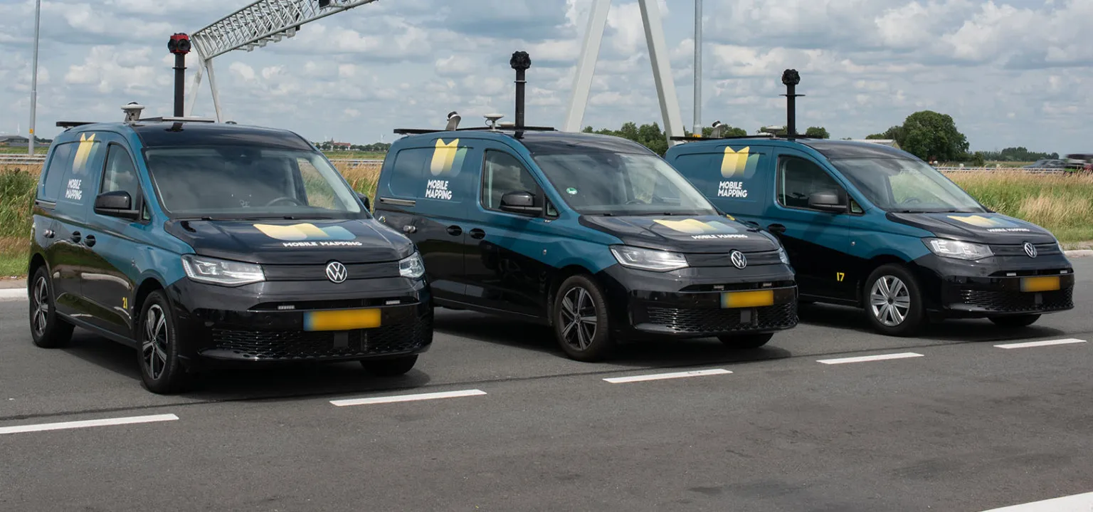
The panoramic camera head is designed for automated data collection in applications such as traffic sign identification, road condition assessments and environmental monitoring. The technology enables municipalities and companies to efficiently manage assets and adopt predictive maintenance strategies.
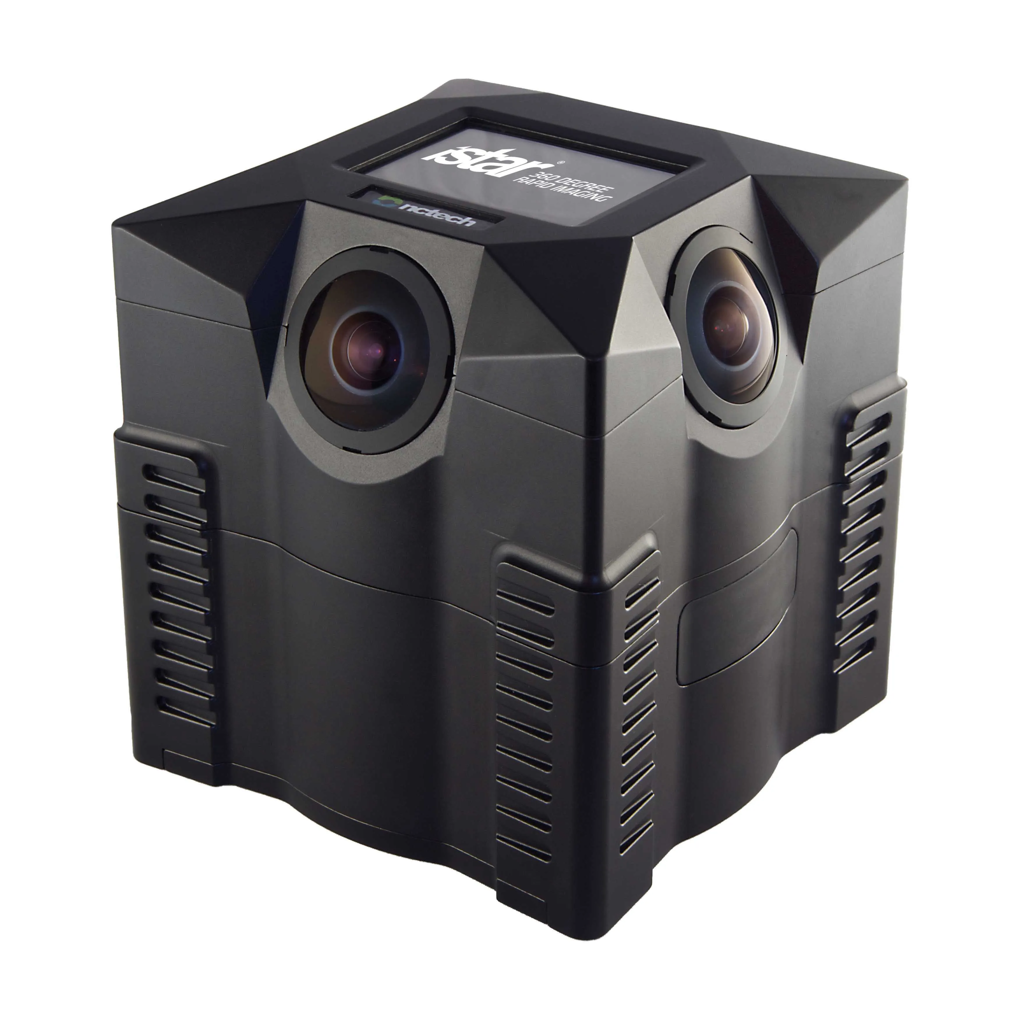
AI-InfraSolutions said the 360-degree panoramic head will “redefine the future of geospatial mapping”. Engineered through STEMMER IMAGING’s More Engineering Services and supported by the Technical Competence Center, the head delivers 180 MPixel resolution with 360° horizontal and 120° vertical coverage. It captures synchronised images every 5m at driving speeds of up to 100km/h, making it an ideal solution for large-scale geospatial mapping projects.
Development of the head posed several technical challenges, including selecting optimal sensors, synchronising image capture with GNSS systems and minimising parallax for smooth panoramic stitching. STEMMER IMAGING’s engineering expertise and precise intrinsic calibration were instrumental in addressing these challenges. This resuled in a robust solution capable of continuous high-speed recording for up to 247km, expandable to 496km.
Once the images are captured, AI-InfraSolutions’ powerful AI-driven data processing algorithms automatically prepare the data for further analysis. This system is particularly effective in areas such as infrastructure asset management and road condition monitoring. Offline post-processing features, including tone mapping and panoramic stitching, ensure that the collected data is refined for optimal accuracy
“By combining our innovative approach with STEMMER IMAGING’s leading vision, we are elevating our solutions to an unmatched level,” said Jeroen Zanen, founder and chief executive of AI-InfraSolutions.
Founded in 2018, AI-InfraSolutions provides intelligent geospatial insights that improve the safety and efficiency of infrastructure management activities. This is achieved by providing enhanced reality data, through AI, that can be translated into useful insights for the operation and maintenance of infrastructure assets.
STEMMER IMAGING is a provider machine vision technology and services for industrial and non-industrial applications, from value-added services to the development of subsystems and its own products, based on an extensive commercial range of products.