Advanced GNSS capabilities with Topcon

April 9, 2025 Read time: 1 min
Topcon’s new GNSS tools offers more capabilities for users

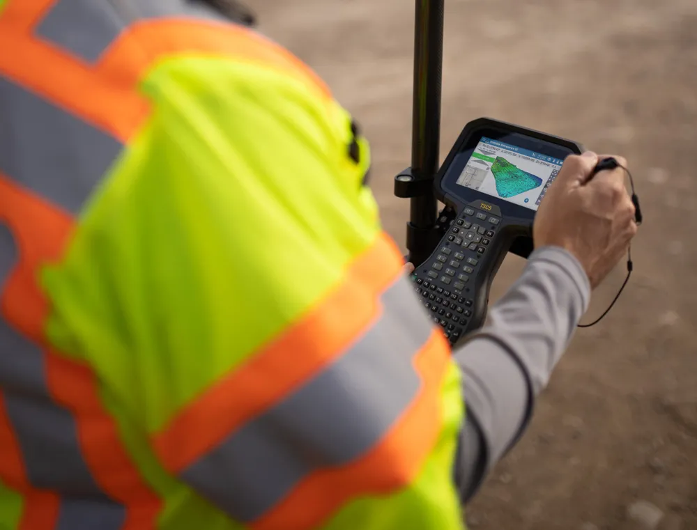
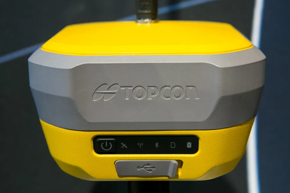
Topcon Positioning says that its new HiPer XR offers more capabilities for GNSS duties. The HiPer receivers suit duties in survey applications, including engineering design, and cadastral projects. These versatile tools can also be used for construction site layout/stakeout, grade checking, and material volume calculations. HiPer receivers can also be paired with robotic total stations for Hybrid Positioning

The tools allow users to measure building edges without using an offset, or stretch to otherwise out-of-reach points using Topcon Integrated Levelling Technology (TILT). This novel technology allows the HiPer XR, HR and VR receivers to compensate for rods that are not exactly vertical. The latest version allows for a told of 60°. New features include the unit being calibration-free and the inclusion of a magnetic interference immune IMU system.

For more information on companies in this article

Related Content

  • Lima's massive $2 billion airport project
    March 4, 2025
    Peru’s capital, Lima, is to benefit from a massive new international airport, which will be one of the largest in Latin America – Mike Woof writes
  • LiDAR surveying is making inroads into asset management
    December 18, 2017
    In the coming age of the autonomous vehicle, fast and accurate LiDAR surveying will be increasingly important, explains Valdis Vanags. The game-changing introduction of autonomous vehicles relies not only on intelligent traffic systems but well maintained roads to help computer-guided systems navigate using road markings. Laser scanning technology, too, is a game changer when it comes to planning and executing many civil engineering projects, including transport network upgrades and smart city initiatives.
  • Surveying software from Trimble
    June 15, 2021
    Trimble has introduced its Siteworks SE Starter Edition, an entry-level, easy-to-use construction surveying software.
  • Surveying accurately
    July 18, 2012
    Spectra Precision says that its EPOCH 35 system benefits from the latest GPS and GLONASS technology to provide accurate cadastral, topographic, control and stakeout survey applications. Said to be reliable and cost-effective, the EPOCH 35 GNSS system includes a base, rover, field software, data collector, and radio. The rover features integrated Bluetooth capability, an internal radio modem and battery. For North America, the system operates with the proven TDS Survey Pro field software while for other mark