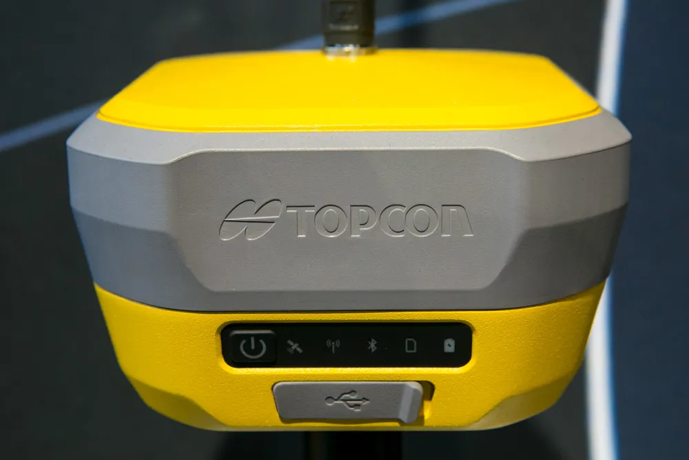
Advanced GNSS capabilities with Topcon

April 9, 2025 Read time: 1 min
Topcon’s new GNSS tools offers more capabilities for users

Topcon Positioning says that its new HiPer XR offers more capabilities for GNSS duties. The HiPer receivers suit duties in survey applications, including engineering design, and cadastral projects. These versatile tools can also be used for construction site layout/stakeout, grade checking, and material volume calculations. HiPer receivers can also be paired with robotic total stations for Hybrid Positioning

The tools allow users to measure building edges without using an offset, or stretch to otherwise out-of-reach points using Topcon Integrated Levelling Technology (TILT). This novel technology allows the HiPer XR, HR and VR receivers to compensate for rods that are not exactly vertical. The latest version allows for a told of 60°. New features include the unit being calibration-free and the inclusion of a magnetic interference immune IMU system.

For more information on companies in this article

Related Content

  • Topcon introduces sophisticated GIS technology
    November 20, 2014
    Topcon Positioning Group is broadening its range of GIS solutions with the introduction of the new FC-500 data controller and MAGNET Relay package. The FC-500 unit features a large, bright sunlight-readable display and is compatible with either the Topcon eGIS or MAGNET Field GIS software.
  • Topcon’s i33 versatile 3D indicate grade system
    April 2, 2014
    Topcon Positioning Group has unveiled a multi-platform 3D indicate grade system – i33. The new system features GPS technology and a graphical display and is said to provide a powerful indicate system at an economical price. The i33 is designed for quick installation and easy operation on many types of grading and earthmoving machinery. “It’s ideal for use on a dozer, scraper or virtually any type of machinery used for cut or fill operations,” said Kris Maas, manager of machine control product marketing f
  • Road construction software innovations
    February 13, 2012
    A range of key software innovations are now available for road construction applications from various suppliers - Adrian Greeman writes. Two significant and highly economic alternatives are now available to the major CAD providers both from Belgium and both offering interesting features. First is Pythagoras, which describes itself as a modern CAD program specially designed for topographical applications which include land surveying, road design and city planning.
  • Sophisticated deformation monitoring system from Topcon
    January 17, 2018
    Key upgrades are now available for the Delta Solutions deformation monitoring system from the Topcon Positioning Group. The improvements include software management upgrades and advanced modular configurations. The Delta Solutions package now benefits from new configuration choices employing either robotic total stations or GNSS with the ability to add leveling sensors.