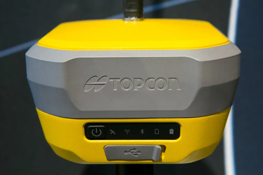
Advanced GNSS capabilities with Topcon

April 9, 2025 Read time: 1 min
Topcon’s new GNSS tools offers more capabilities for users

Topcon Positioning says that its new HiPer XR offers more capabilities for GNSS duties. The HiPer receivers suit duties in survey applications, including engineering design, and cadastral projects. These versatile tools can also be used for construction site layout/stakeout, grade checking, and material volume calculations. HiPer receivers can also be paired with robotic total stations for Hybrid Positioning

The tools allow users to measure building edges without using an offset, or stretch to otherwise out-of-reach points using Topcon Integrated Levelling Technology (TILT). This novel technology allows the HiPer XR, HR and VR receivers to compensate for rods that are not exactly vertical. The latest version allows for a told of 60°. New features include the unit being calibration-free and the inclusion of a magnetic interference immune IMU system.

For more information on companies in this article

Related Content

  • Intelligent bulldozers provide productivity boost
    September 27, 2013
    New smart dozers provide faster working and greater efficiency - Mike Woof reports Both Caterpillar and Komatsu are making key moves in offering intelligent bulldozing capabilities on their latest machines. In the medium-sized bulldozer market, both companies have sophisticated new models that will increase both productivity and finish quality, while lowering running costs for the user.
  • Trimble announces key technology developments
    January 24, 2019
    Trimble is expanding its range of machine control technology options for users of graders and excavators with key new releases. One is for the LOADRITE Payload Management system, which can now be utilised on excavators already equipped with the Trimble Earthworks Grade Control Platform. The other systems are new versions of the Trimble Earthworks Grade Control Platform that can be used with graders or deliver automatic guidance for tiltrotators. These are key developments for the firm, boosting its ran
  • Topcon announces increased 3D scanning integration with Autodesk
    August 17, 2015
    Topcon Positioning Group says it has improved workflow compatibility for the GLS-2000 3D laser scanner and ScanMaster software with Autodesk solutions. With the latest version of Autodesk ReCap, the GLS-2000 pairs with Topcon ScanMaster software to collect, process, edit and deliver 3D point cloud data from a laser scanner. ReCap allows users to perform tasks such as scan conversion, editing and viewing point cloud data. It also provides integration with Autodesk’s portfolio of design software. Aut
  • Improved construction software from Topcon
    June 22, 2021
    Topcon Positioning is introducing the latest version of its software package for construction and survey professionals: MAGNET 7.