Accurate utilities detection

By MJ Woof November 26, 2024 Read time: 1 min
Utility works can be carried out more efficiently using new capabilities offered jointly by Trimble and Radiodetection

Trimble and Radiodetection are collaborating to improve the technology used in the utility measurement and mapping process. Integrating the Trimble Catalyst DA2 GNSS system and Radiodetection’s RD MapTM+ application and precision locator products helps to streamline utility-locating workflows to provide accurate measurement capabilities and generate underground utilities maps in a single field operation.

When using conventional technology, field technicians mark their measurements onsite or rely on data entries to provide to office staff for map creation after a site visit. However, data collected with the Trimble Catalyst DA2 GNSS system can now be simultaneously synchronised with Radiodetection RD Map+ and precision locators that find and mark buried utilities. By streamlining this connection, workers can digitise utility-line locations and reduce reporting errors. 

“Accurate geolocation is critical to the operation and maintenance of underground utilities and public infrastructure,” said Stephanie Michaud, strategic marketing manager, Trimble Surveying & Mapping Field Solutions. “By adding survey-grade capabilities to existing utility workflows, this collaboration creates a connected solution that provides confidence and reliability during the data capture process.”

The combined technologies provide accurate data for construction firms to work from, assisting with the establishment of dependable digital twins.




For more information on companies in this article

Related Content

  • VIDEO: Telstra drone LIDAR maps Melbourne’s EastLink Mullum Tunnel
    April 13, 2018
    One of the applications for LIDAR is to make high resolution 3-D maps. Self-driving cars are pre-loaded with a LIDAR map of the trials area in which they are permitted to fully self-drive themselves. The cars also have their own LIDAR scanner which captures a real-time LIDAR view of the vehicle’s surroundings. The fully autonomous driving system within these prototype cars compares the real-time LIDAR view against the pre-loaded LIDAR map to significantly increase the accuracy of their self-positioning
  • Work zone safety with SRL's REMOS
    August 11, 2025
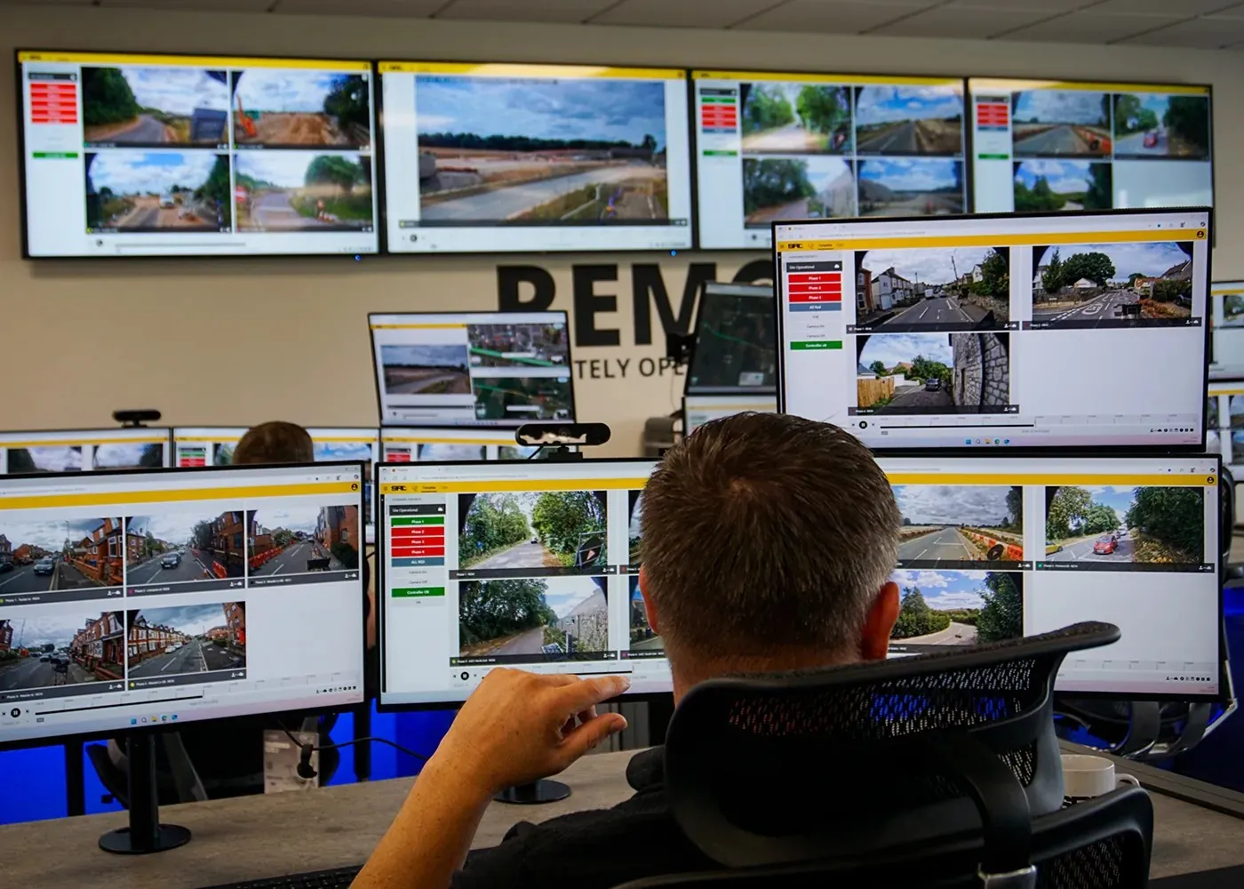
    REMOS allows one person off-site to manage several sites simultaneously, efficiently making interventions to prevent and eliminate bottlenecks.
  • Symology supplies the foundations for Tarmac’s Street Works business
    April 7, 2017
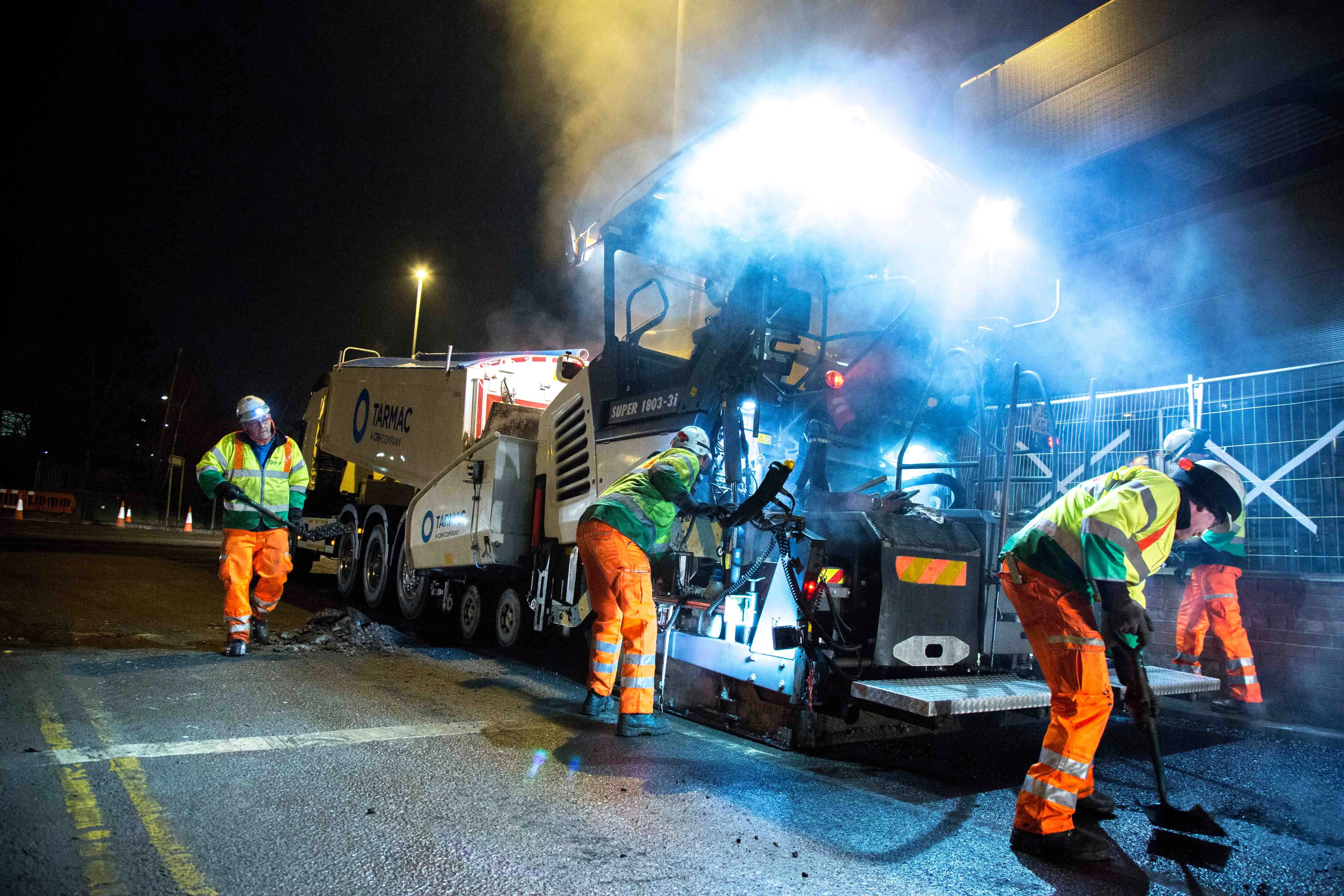
    UK contractor Tarmac has been in partnership with Symology since 2011, using a shared management service for asset management to meet tougher government street work regulations, writes Matt Waite Tarmac, with more than 6,600 employees, is the UK’s leading sustainable building materials and construction solutions business. The company has over 330 UK sites from which it delivers contracting and highways maintenance services as well as products such as aggregates, asphalt, cement, lime and ready-mix concre
  • Trimble expanding BIM capability with Vianova purchase
    September 3, 2015
    Trimble is expanding with the acquisition of Norwegian firm Vianova Systems. The move brings Trimble additional capabilities in BIM, a key technology area. The financial terms were not disclosed. Vianova Systems is a pioneer in the development of software leveraging advanced BIM technology for the civil engineering market and infrastructure lifecycle management across infrastructure design. The company offers a portfolio of solutions for civil engineers, civil contractors and project owners. These solutions