Accurate utilities detection

By MJ Woof November 26, 2024 Read time: 1 min
Utility works can be carried out more efficiently using new capabilities offered jointly by Trimble and Radiodetection

Trimble and Radiodetection are collaborating to improve the technology used in the utility measurement and mapping process. Integrating the Trimble Catalyst DA2 GNSS system and Radiodetection’s RD MapTM+ application and precision locator products helps to streamline utility-locating workflows to provide accurate measurement capabilities and generate underground utilities maps in a single field operation.

When using conventional technology, field technicians mark their measurements onsite or rely on data entries to provide to office staff for map creation after a site visit. However, data collected with the Trimble Catalyst DA2 GNSS system can now be simultaneously synchronised with Radiodetection RD Map+ and precision locators that find and mark buried utilities. By streamlining this connection, workers can digitise utility-line locations and reduce reporting errors. 

“Accurate geolocation is critical to the operation and maintenance of underground utilities and public infrastructure,” said Stephanie Michaud, strategic marketing manager, Trimble Surveying & Mapping Field Solutions. “By adding survey-grade capabilities to existing utility workflows, this collaboration creates a connected solution that provides confidence and reliability during the data capture process.”

The combined technologies provide accurate data for construction firms to work from, assisting with the establishment of dependable digital twins.




For more information on companies in this article

Related Content

  • GSSI offers bridge monitoring tool
    May 19, 2015
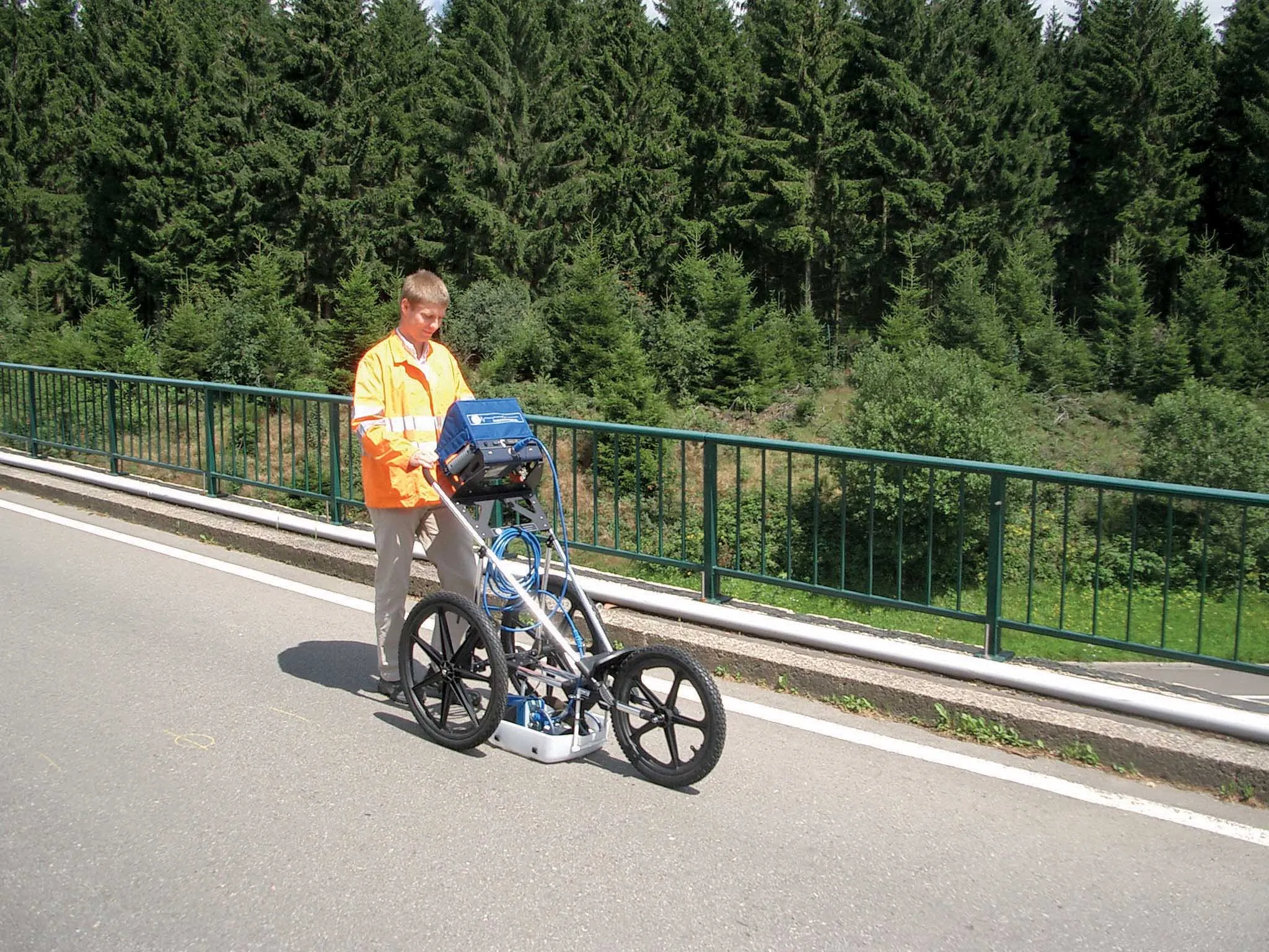
    GSSI is introducing the sophistictaed BridgeScan condition assessment system. This package is used for concrete inspection and utility mapping of bridges. Said to be both affordable and versatile, this ground penetrating radar (GPR) equipment can be used to assess concrete condition on bridge decks, as well as parking structures. Using this unit offers accurate assessments of concrete condition, which improves repair cost estimation and saves time and money. With BridgeScan, identification of rebar
  • Fast laser scanning from Hexagon
    June 19, 2023
    Hexagon says that its next-generation Leica BLK360 laser scanner offers precise and accurate scanning operations.
  • Catsurveys introduces mobile GPR that covers 50km a day
    March 10, 2015
    Catsurveys Group’s latest mobile ground penetrating radar (GPR) unit can cover up to 50km a day to identify underground utilities, buried manholes, chambers, culverts, tunnels and other objects. The mobile GPR uses a multitude of low- and intermediatefrequency antennas to boost the quality of data. Double polarised antennas cover longitudinal and transverse scans to create clear images. The surveys combine GPS and total station theodolite recording to give pinpoint geolocations of all features of interest.
  • Bentley Systems expanding through acquisition
    March 15, 2021
    Bentley Systems is expanding through acquisition.