Accurate utilities detection

By MJ Woof November 26, 2024 Read time: 1 min
Utility works can be carried out more efficiently using new capabilities offered jointly by Trimble and Radiodetection

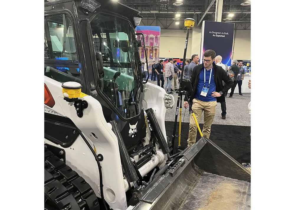
Trimble and Radiodetection are collaborating to improve the technology used in the utility measurement and mapping process. Integrating the Trimble Catalyst DA2 GNSS system and Radiodetection’s RD MapTM+ application and precision locator products helps to streamline utility-locating workflows to provide accurate measurement capabilities and generate underground utilities maps in a single field operation.

When using conventional technology, field technicians mark their measurements onsite or rely on data entries to provide to office staff for map creation after a site visit. However, data collected with the Trimble Catalyst DA2 GNSS system can now be simultaneously synchronised with Radiodetection RD Map+ and precision locators that find and mark buried utilities. By streamlining this connection, workers can digitise utility-line locations and reduce reporting errors. 

“Accurate geolocation is critical to the operation and maintenance of underground utilities and public infrastructure,” said Stephanie Michaud, strategic marketing manager, Trimble Surveying & Mapping Field Solutions. “By adding survey-grade capabilities to existing utility workflows, this collaboration creates a connected solution that provides confidence and reliability during the data capture process.”

The combined technologies provide accurate data for construction firms to work from, assisting with the establishment of dependable digital twins.





For more information on companies in this article

Related Content

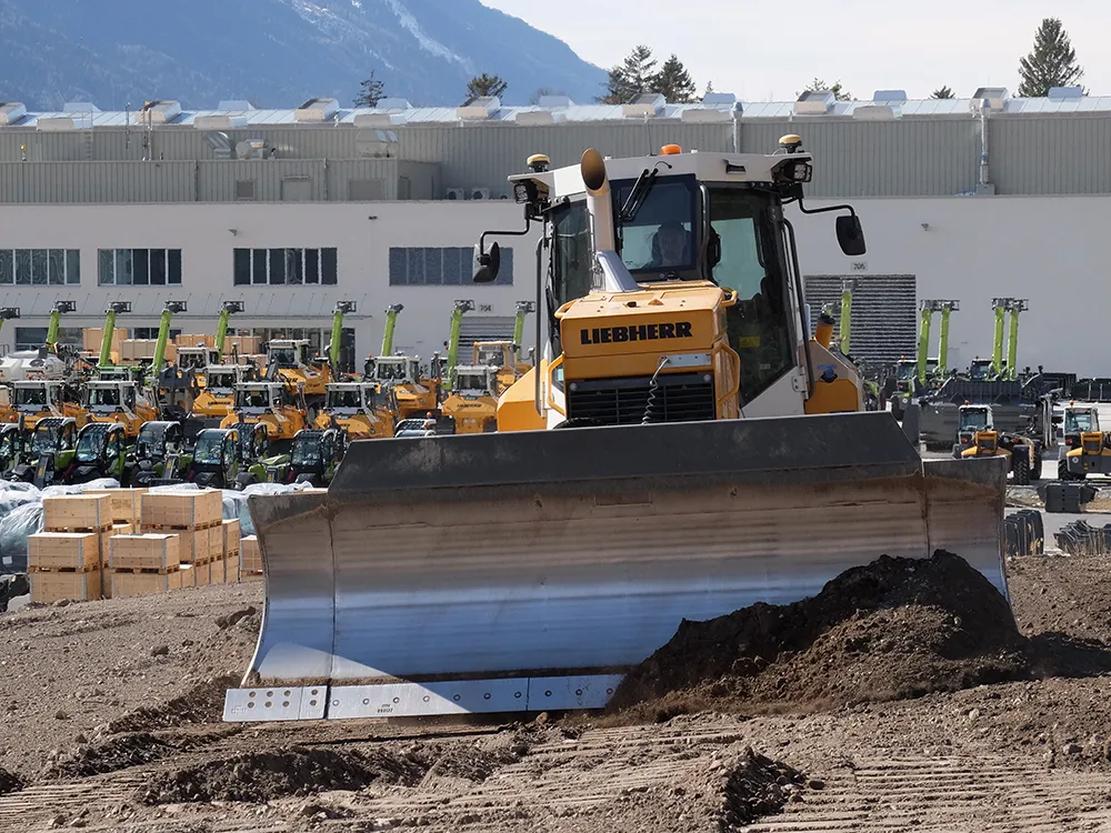
  • Efficient dozing with Liebherr
    May 31, 2022
    Liebherr’s latest Generation 8 dozers offer a higher level of machine control than ever before
  • CONEXPO-CON/AGG 2017 will help you imagine what’s next
    March 15, 2017
    What sort of key trends will be on show, and how will these new technologies shape the sector over the coming years? Alan Dron interviewed Al Cervero, the AEM senior vice-president for construction, utility and mining on how the show will reveal what is coming. The theme for this year’s event is “Imagine what’s next”, a particularly appropriate title in view of the changes in both technology and the environment in which that technology will be used.
  • Leica Cyclone teams up with NCTech’s iSTAR camera database
    January 19, 2016
    Users of Leica Cyclone, a 3D point cloud processing software, can now automatically import and align high-dynamic range (HDR) data from NCTech’s iSTAR camera database. The result is enhanced images delivered faster and easier, according to both companies. “It is also the accuracy to which these images fit the 3D point cloud data that is paramount. NCTech’s iSTAR camera produces high-quality HDR imaging at the accuracy everyone expects,” said Faheem Khan, vice president, business development for Leica Geosys
  • The future of autonomy
    January 13, 2023
    The panel of experts from Trimble and Dynapac discussed where the construction industry is on the path to autonomy at present, where it is heading, and Trimble’s overall corporate vision for the future. Trimble’s philosophy is that machine autonomy is about more than just controlling the machine. To move the industry forward, autonomy solutions must also turn real-time data into real-time information to optimise and coordinate the jobsite of the future according to Trimble. Providing full access to that data presents a challenge, but can be achieved.