Accurate utilities detection

By MJ Woof November 26, 2024 Read time: 1 min
Utility works can be carried out more efficiently using new capabilities offered jointly by Trimble and Radiodetection

Trimble and Radiodetection are collaborating to improve the technology used in the utility measurement and mapping process. Integrating the Trimble Catalyst DA2 GNSS system and Radiodetection’s RD MapTM+ application and precision locator products helps to streamline utility-locating workflows to provide accurate measurement capabilities and generate underground utilities maps in a single field operation.

When using conventional technology, field technicians mark their measurements onsite or rely on data entries to provide to office staff for map creation after a site visit. However, data collected with the Trimble Catalyst DA2 GNSS system can now be simultaneously synchronised with Radiodetection RD Map+ and precision locators that find and mark buried utilities. By streamlining this connection, workers can digitise utility-line locations and reduce reporting errors. 

“Accurate geolocation is critical to the operation and maintenance of underground utilities and public infrastructure,” said Stephanie Michaud, strategic marketing manager, Trimble Surveying & Mapping Field Solutions. “By adding survey-grade capabilities to existing utility workflows, this collaboration creates a connected solution that provides confidence and reliability during the data capture process.”

The combined technologies provide accurate data for construction firms to work from, assisting with the establishment of dependable digital twins.




For more information on companies in this article

Related Content

  • Houston, Texas is seeing fast expansion of population, with in vast increases in traffic
    October 9, 2018
    The US city of Houston is expanding fast and its transport system is having to be developed to cope
  • Macleod Simmonds introduces GPR offering
    October 17, 2012
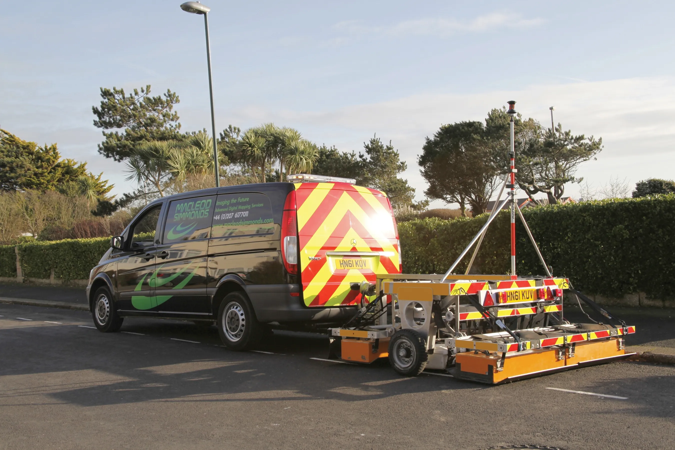
    UK-based Macleod Simmonds Ltd (MSL) has launched a GPR (Ground Probing Radar) consultancy providing both a survey service and software package which, the firm says, takes the output from multi-antenna surveys to a “whole new dimension”. The firm says it can now provide survey capability for almost any type of terrain, application or location that end users might require. For the existing roadway or smooth surface terrain survey location, MSL has a Carriageway System based on a multi-antenna set up from Ital
  • Machine control developments from Leica Geosystems, Topcon, Trimble and Wirtgen in the slipforming sector
    July 1, 2013
    Machine control technologies were pioneered in the concrete paving sector with systems having been used for over 10 years. Leica Geosystems was the first of the machine control technology suppliers to offer these systems on concrete slipforming machines and has developed a strong position in this segment. However the company met resistance from some quarters in the construction market and specialist Karl Soar said that some contractors were very reluctant to give up using conventional stringlines. He said,
  • Topcon to smoothen roads with SmoothRide system
    February 28, 2018
    Topcon Positioning has developed a sophisticated package that can help deliver better road surface quality. The firm’s latest SmoothRide data collection package is said to make the mapping of road conditions easier and more efficient. The new RD-M1 Collect 2.0 package has an improved interface and a new graphical interface status bar that indicates the optimum speed for collecting road information based on the project requirements.