Accurate utilities detection

By MJ Woof November 26, 2024 Read time: 1 min
Utility works can be carried out more efficiently using new capabilities offered jointly by Trimble and Radiodetection

Trimble and Radiodetection are collaborating to improve the technology used in the utility measurement and mapping process. Integrating the Trimble Catalyst DA2 GNSS system and Radiodetection’s RD MapTM+ application and precision locator products helps to streamline utility-locating workflows to provide accurate measurement capabilities and generate underground utilities maps in a single field operation.

When using conventional technology, field technicians mark their measurements onsite or rely on data entries to provide to office staff for map creation after a site visit. However, data collected with the Trimble Catalyst DA2 GNSS system can now be simultaneously synchronised with Radiodetection RD Map+ and precision locators that find and mark buried utilities. By streamlining this connection, workers can digitise utility-line locations and reduce reporting errors. 

“Accurate geolocation is critical to the operation and maintenance of underground utilities and public infrastructure,” said Stephanie Michaud, strategic marketing manager, Trimble Surveying & Mapping Field Solutions. “By adding survey-grade capabilities to existing utility workflows, this collaboration creates a connected solution that provides confidence and reliability during the data capture process.”

The combined technologies provide accurate data for construction firms to work from, assisting with the establishment of dependable digital twins.





For more information on companies in this article

Related Content

  • Construction robot deal for fischer
    October 23, 2024
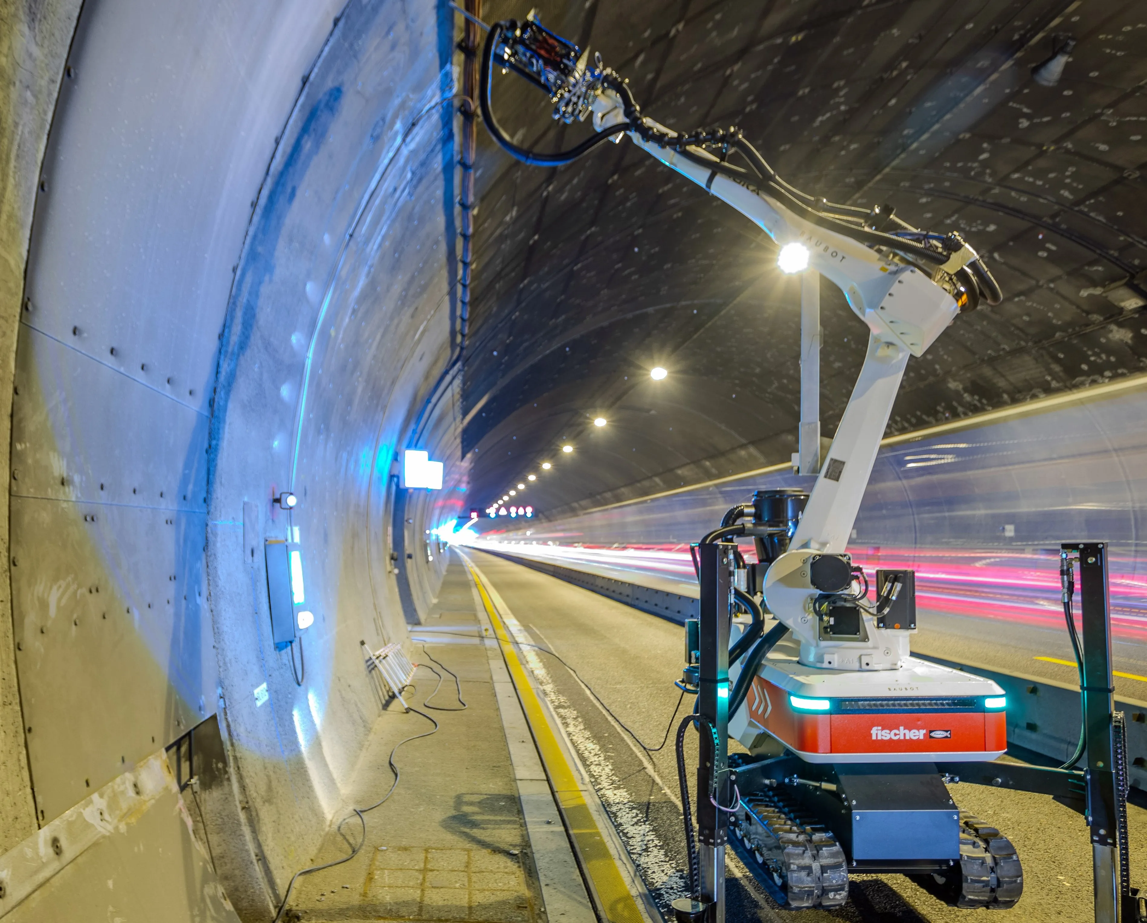
    The fischer Group has bought up a construction robot pioneer.
  • Bentley Systems strikes bridge monitoring deal with AASHTO
    November 15, 2012
    A new partnership between Bentley Systems and the American Association of Highway Transportation Officials (AASHTO) looks set to yield significant cost benefits for the US. This move will see AASHTO and Bentley align to extend AASHTO’s Bridge Management software with Bentley’s Inspectech package. As a result, bridge inspection processes in the US will become more efficient, more accurate and also see major budget reductions. CEO Greg Bentley said, “In the US we spend about US$1 billion/year on bridge inspec
  • How data mining and the intelligence it creates is helping sites run more effectively and efficiently
    December 13, 2022
    In this, the third in our series of top-level roundtable discussions led by World Highways, editor Mike Woof and roundtable host Nadira Tudor talk machine control technology with three world-class experts from Leica Geosystems (part of Hexagon), Topcon, and Trimble. There’s never been a more exciting time to be in construction as innovation makes us more productive, more efficient, more sustainable, and better connected. Autonomy means opportunity.
  • Hemisphere & Carlson ‘strategic’ alliance
    January 6, 2017
    US firms Hemisphere GPS and Carlson Software have formed a ‘strategic alliance’. The move, according to the companies, will provide a “roadmap” for new, integrated solutions for land survey, mapping, construction, mining and other key machine control markets.