Accurate utilities detection

By MJ Woof November 26, 2024 Read time: 1 min
Utility works can be carried out more efficiently using new capabilities offered jointly by Trimble and Radiodetection

Trimble and Radiodetection are collaborating to improve the technology used in the utility measurement and mapping process. Integrating the Trimble Catalyst DA2 GNSS system and Radiodetection’s RD MapTM+ application and precision locator products helps to streamline utility-locating workflows to provide accurate measurement capabilities and generate underground utilities maps in a single field operation.

When using conventional technology, field technicians mark their measurements onsite or rely on data entries to provide to office staff for map creation after a site visit. However, data collected with the Trimble Catalyst DA2 GNSS system can now be simultaneously synchronised with Radiodetection RD Map+ and precision locators that find and mark buried utilities. By streamlining this connection, workers can digitise utility-line locations and reduce reporting errors. 

“Accurate geolocation is critical to the operation and maintenance of underground utilities and public infrastructure,” said Stephanie Michaud, strategic marketing manager, Trimble Surveying & Mapping Field Solutions. “By adding survey-grade capabilities to existing utility workflows, this collaboration creates a connected solution that provides confidence and reliability during the data capture process.”

The combined technologies provide accurate data for construction firms to work from, assisting with the establishment of dependable digital twins.




For more information on companies in this article

Related Content

  • Hemisphere & Carlson ‘strategic’ alliance
    March 8, 2012
    US firms Hemisphere GPS and Carlson Software have formed a ‘strategic alliance’. The move, according to the companies, will provide a “roadmap” for new, integrated solutions for land survey, mapping, construction, mining and other key machine control markets.
  • Florida and one.network in lane closure pilot
    August 30, 2022
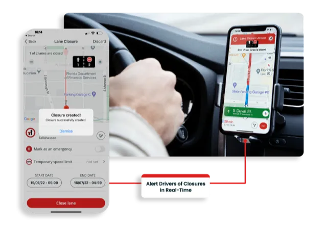
    The project will use Live Link, one.network's proprietary shared road management platform that connects with major GPS providers in the US.
  • Topcon unveils Hybrid Robotic System
    January 21, 2014
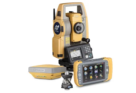
    Topcon Positioning Group has unveiled its Hybrid Robotic System, featuring the new DS series robotic total station and the recently announced MAGNET v2.0 software suite, a Topcon enterprise solution for the geomatics industry. Other Topcon components in the cutting-edge HRS include the economical HiPer SR GNSS receiver and Tesla large-screen tablet controller. The new system combines GNSS positioning and robotic measurements with an automated data workflow to provide added versatility and efficiency for
  • Advances in tunneling machines coming to market
    November 19, 2015
    A diverse array of new tunnelling technologies will help boost productivity and cut project costs, while boosting quality - Mike Woof writes The worldwide market for tunnelling projects continues to be strong, with a series of major projects underway or planned for the future. These good market conditions have helped fuel research and development in new tunnelling equipment, designed to be more productive, more efficient and more reliable and able to deliver a higher quality of work. Drilling and blas