Accurate utilities detection

By MJ Woof November 26, 2024 Read time: 1 min
Utility works can be carried out more efficiently using new capabilities offered jointly by Trimble and Radiodetection

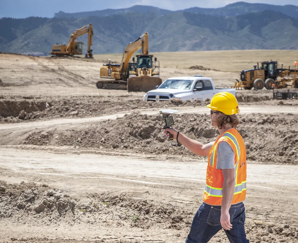
Trimble and Radiodetection are collaborating to improve the technology used in the utility measurement and mapping process. Integrating the Trimble Catalyst DA2 GNSS system and Radiodetection’s RD MapTM+ application and precision locator products helps to streamline utility-locating workflows to provide accurate measurement capabilities and generate underground utilities maps in a single field operation.

When using conventional technology, field technicians mark their measurements onsite or rely on data entries to provide to office staff for map creation after a site visit. However, data collected with the Trimble Catalyst DA2 GNSS system can now be simultaneously synchronised with Radiodetection RD Map+ and precision locators that find and mark buried utilities. By streamlining this connection, workers can digitise utility-line locations and reduce reporting errors. 

“Accurate geolocation is critical to the operation and maintenance of underground utilities and public infrastructure,” said Stephanie Michaud, strategic marketing manager, Trimble Surveying & Mapping Field Solutions. “By adding survey-grade capabilities to existing utility workflows, this collaboration creates a connected solution that provides confidence and reliability during the data capture process.”

The combined technologies provide accurate data for construction firms to work from, assisting with the establishment of dependable digital twins.





For more information on companies in this article

Related Content

  • Field use solutions from mixed-reality
    May 22, 2018
    Trimble is now offering its Connect for HoloLens tool as well as a new hard hat solution for Microsoft HoloLens. According to the firm, the new package improves the utility of mixed-reality for practical field applications. “With the rise in acceptance for mixed-reality solutions in business today, the need for 3D visualisation outside the office is driving this next wave of Trimble innovation," said Aviad Almagor, director of Trimble's Mixed-Reality Program. “We are expanding the opportunities for implemen
  • Smooth sailing for paving with Topcon’s SmoothRide
    April 14, 2016
    Topcon Positioning Group’s new road scanning solution SmoothRide can gather highway asset data at highway speeds with no need for lane closures, crash trucks or escorts. SmoothRide is a vehicle-mounted resurfacing solution for paving and milling projects. It uses a combination of core Topcon technologies designed to deliver the smoothest surface possible, while efficiently managing the quantity of material for each project.
  • Connected Tech for Construction Continuity
    December 11, 2020
    No one could have predicted the situation we found ourselves in in 2020, with a global pandemic bringing the economy to its knees, projects delayed overnight, rapid restarts, remote management, and challenging labor dynamics.
  • More than 400,000 machines join new CECE construction equipment ‘uptime’ utilisation tracker
    October 27, 2022
    CECE (The Committee for European Construction Equipment) has announced that is launching an ‘Uptime Tracker’, a new industry-wide index designed to analyse machinery utilisation.