Accurate utilities detection

By MJ Woof November 26, 2024 Read time: 1 min
Utility works can be carried out more efficiently using new capabilities offered jointly by Trimble and Radiodetection

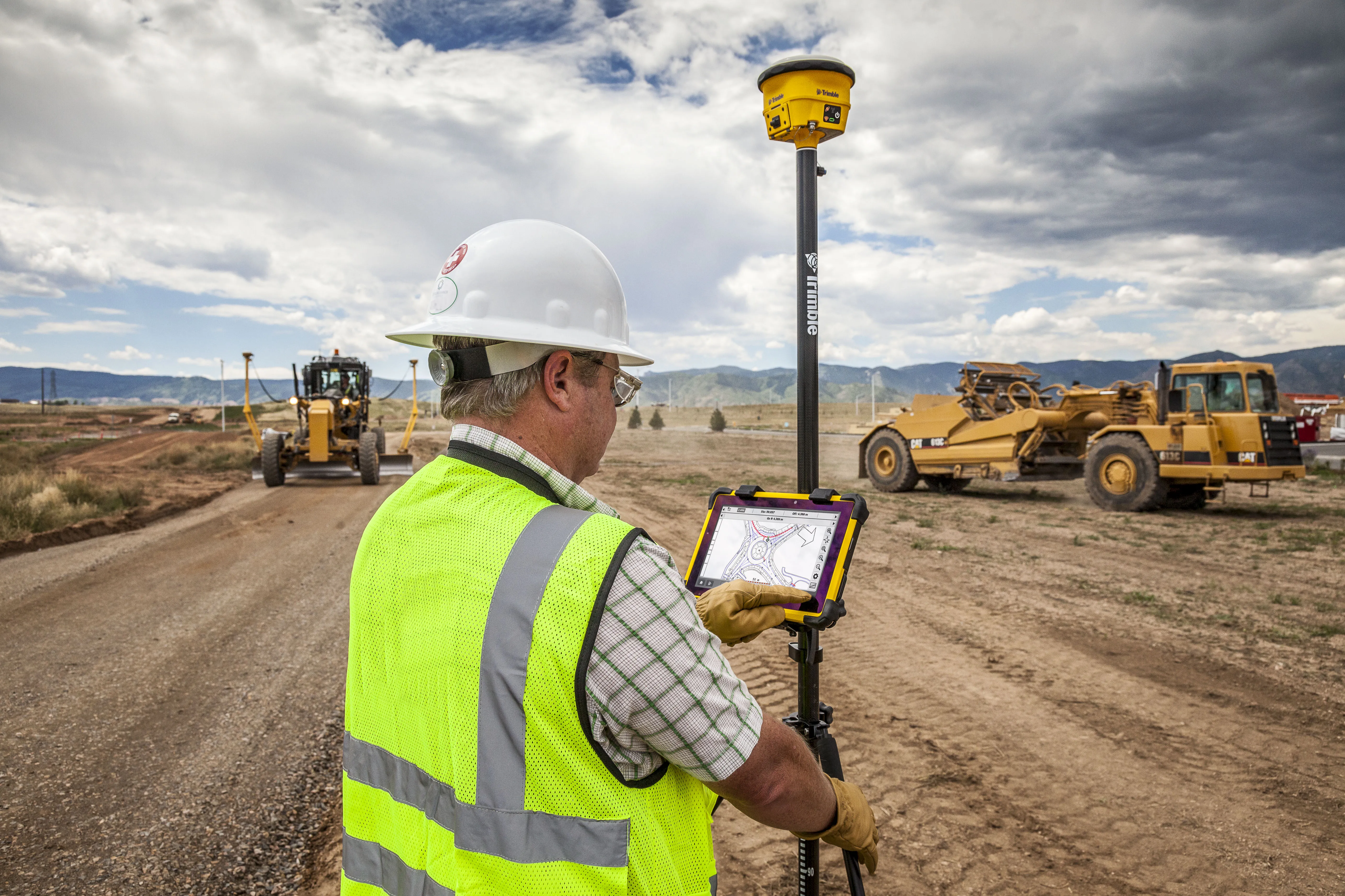
Trimble and Radiodetection are collaborating to improve the technology used in the utility measurement and mapping process. Integrating the Trimble Catalyst DA2 GNSS system and Radiodetection’s RD MapTM+ application and precision locator products helps to streamline utility-locating workflows to provide accurate measurement capabilities and generate underground utilities maps in a single field operation.

When using conventional technology, field technicians mark their measurements onsite or rely on data entries to provide to office staff for map creation after a site visit. However, data collected with the Trimble Catalyst DA2 GNSS system can now be simultaneously synchronised with Radiodetection RD Map+ and precision locators that find and mark buried utilities. By streamlining this connection, workers can digitise utility-line locations and reduce reporting errors. 

“Accurate geolocation is critical to the operation and maintenance of underground utilities and public infrastructure,” said Stephanie Michaud, strategic marketing manager, Trimble Surveying & Mapping Field Solutions. “By adding survey-grade capabilities to existing utility workflows, this collaboration creates a connected solution that provides confidence and reliability during the data capture process.”

The combined technologies provide accurate data for construction firms to work from, assisting with the establishment of dependable digital twins.




For more information on companies in this article

Related Content

  • Airport runway rebuild at Bologna
    May 15, 2019
    Rebuilding a runway requires special attention to detail to maximise efficiency and safety Airport runways face special challenges with regard to the loads they carry on a daily basis, particularly when aircraft are landing. A modern jet aircraft will typically land at speeds of around 240-260km/h, with a laden 747 weighing as much as 265tonnes at the end of a long flight. The stresses these large aircraft place on runway surfaces are enormous and not just with the massive impact forces exerted during
  • Smart excavators coming to market
    March 23, 2021
    New excavators coming to market offer a combination of increased performance and smart technology
  • Leica Geosystems’ tools for site monitoring and handling GPR data
    October 11, 2017
    Leica Geosystems is offering new tools for construction firms for remote monitoring and for handling data from ground penetrating radar. With the GeoMoS Imaging package, users can stay up-to-date on remote monitoring; the live view allows observation and recording of areas of interest. A joystick provides remote access to the total station so that personnel can increase productivity and reduce time in the field.
  • Trimble’s tablet offers data processing on-site
    March 12, 2018
    Trimble has developed its T10 Tablet, which the firm claims is a rugged and high-performance data processing platform for use onsite. The unit offers fast computing power and a large screen and is now available through the SITECH dealer channel for use in civil engineering and construction applications. Its key features include a military-grade ruggedness to cope with tough construction site conditions, a sunlight readable display for reading text, graphics and complex maps under field conditions and a